Route B: Through the mines and unknown meanders of Paiva
Rota dos Geossítios
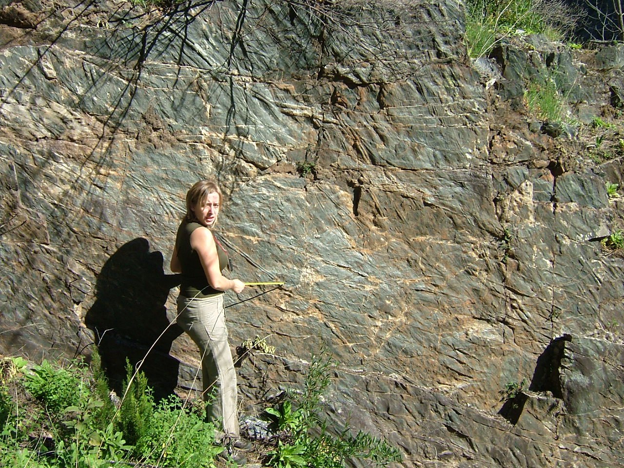
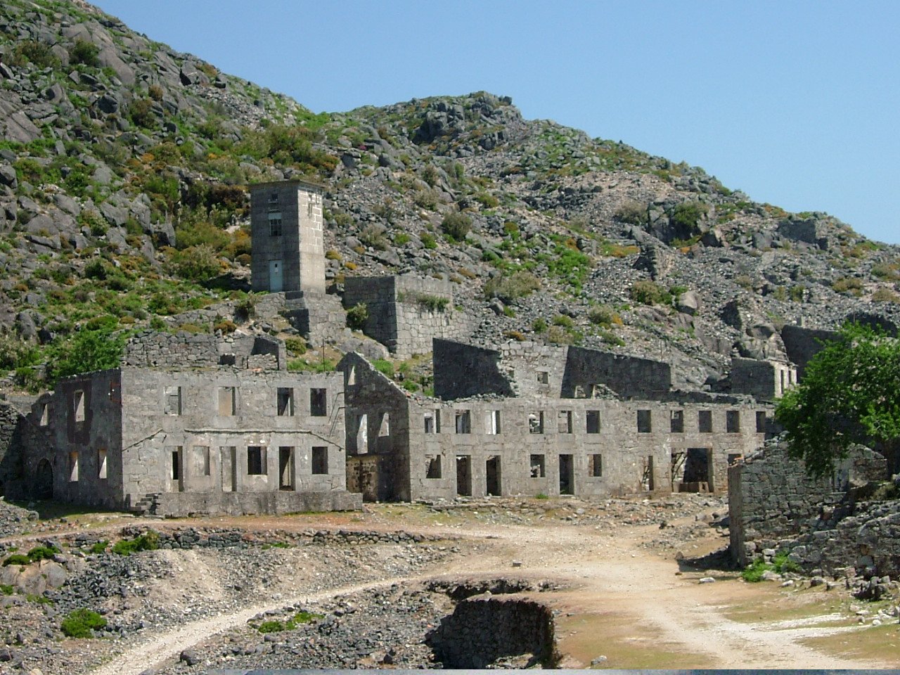
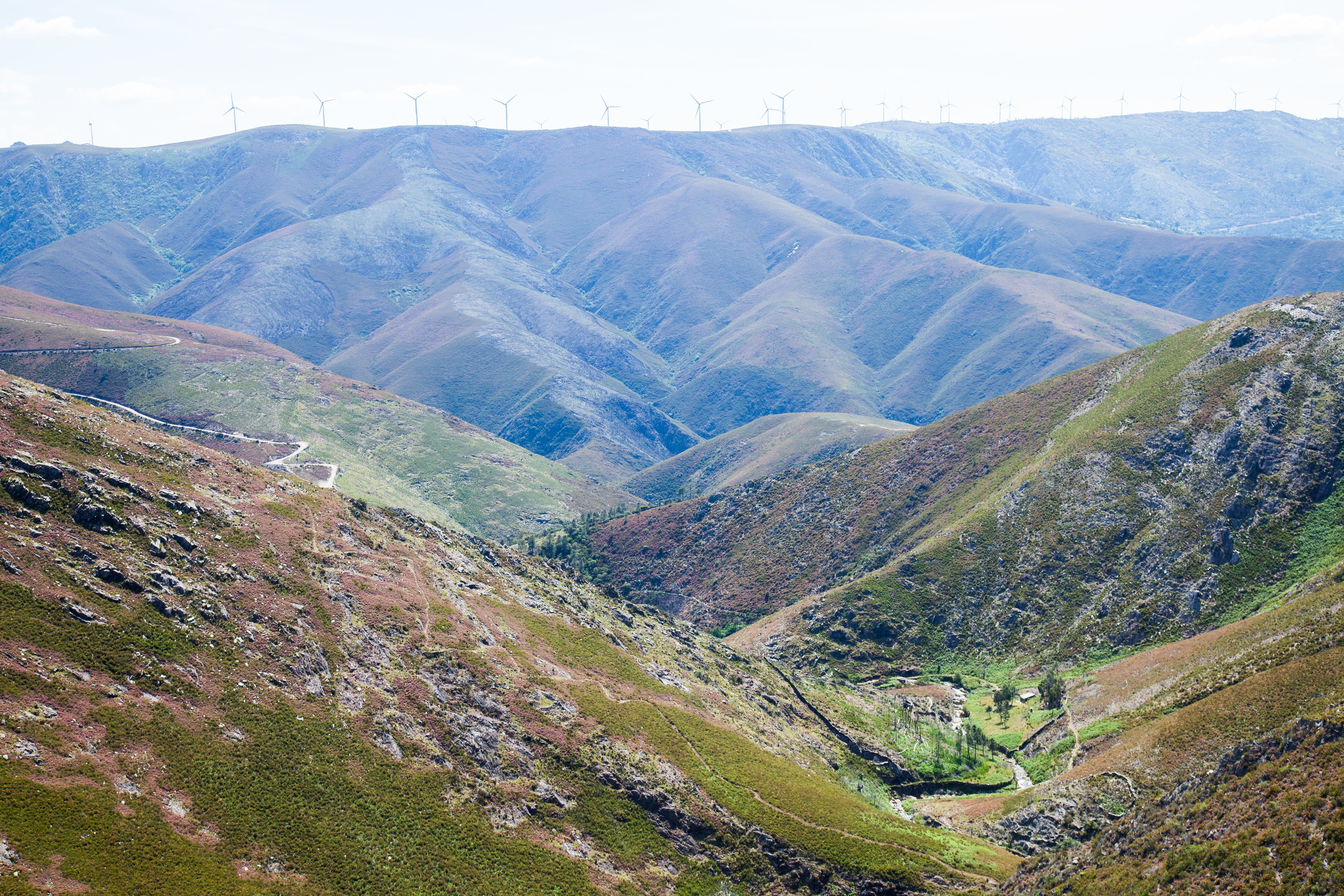
This route is the longest of the suggested for the Route of Geosites of the Arouca Geopark, allowing you to access places of these mountains and valleys where once there was mining exploration. This trail develops in the southeast region and in one of the least population density areas of the Arouca Geopark territory, where there still are evidences of the tungsten exploration during the World War II, or of the gold exploration by the Romans in this region.
Geosites of interest:
 Route characteristics
- Starting point:Rio de Frades or Regoufe miners complexes
- End point:G24: Panorâmica da Senhora da Mó (Senhora da Mó Panoramic)
- Distance:62.00 km
- Maximum altitude:680 m
Conheiros de Janarde
Livraria do Paiva
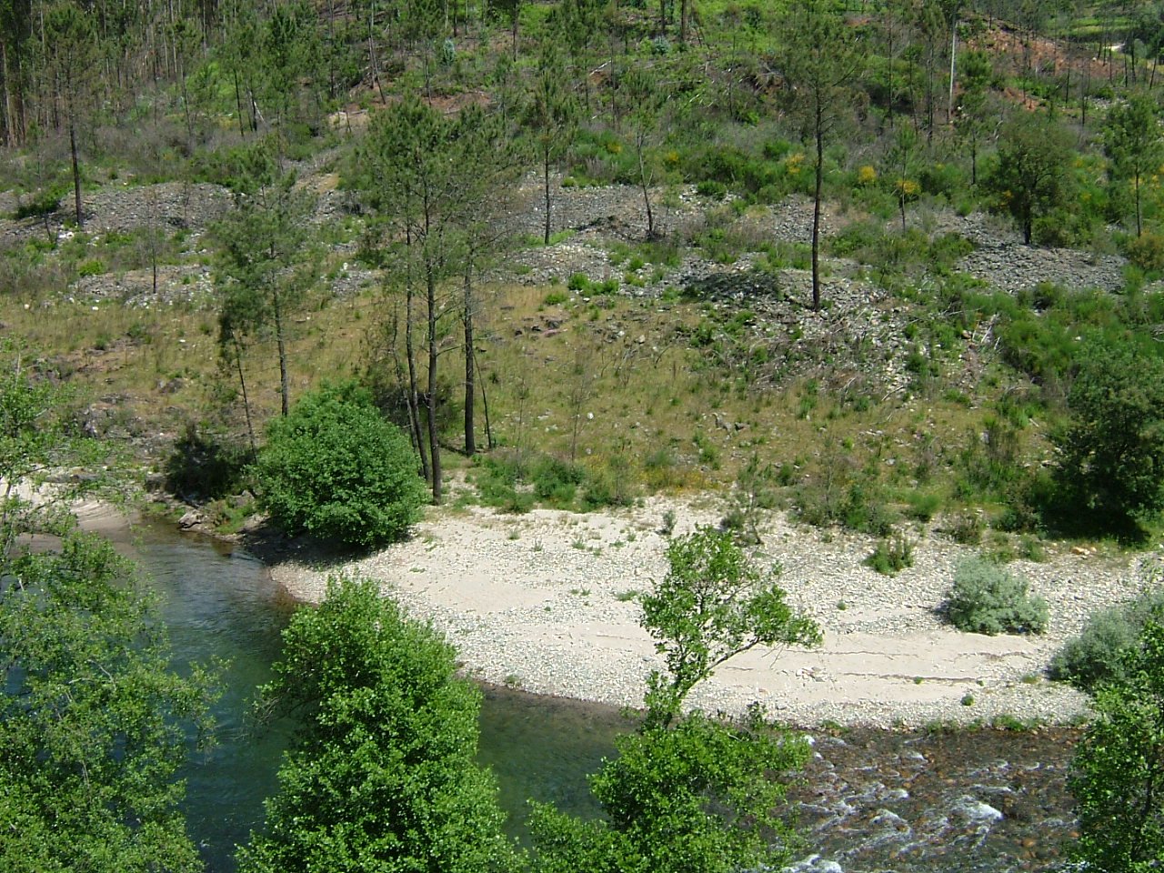
Meandros do Paiva
Complexo Mineiro de Rio de Frades
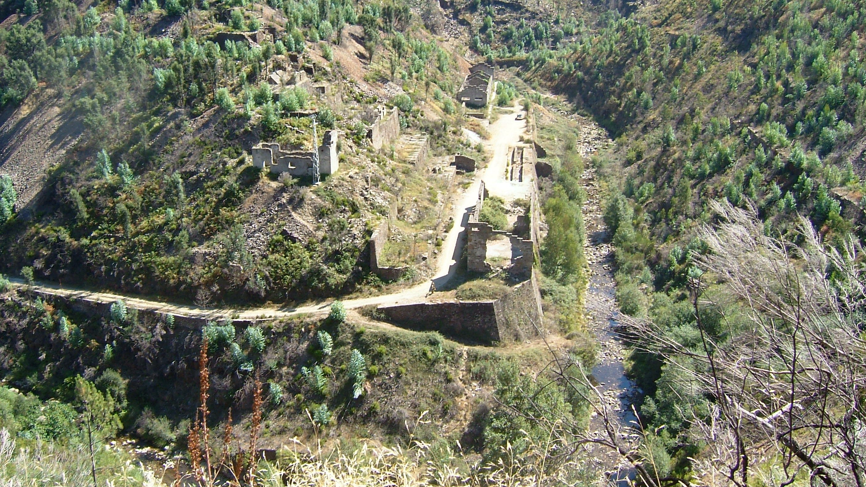
Complexo mineiro da Poça da Cadela (Regoufe)
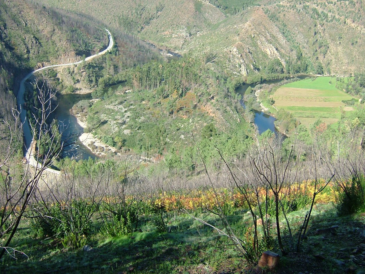
Panorâmica da Sra. da Mó
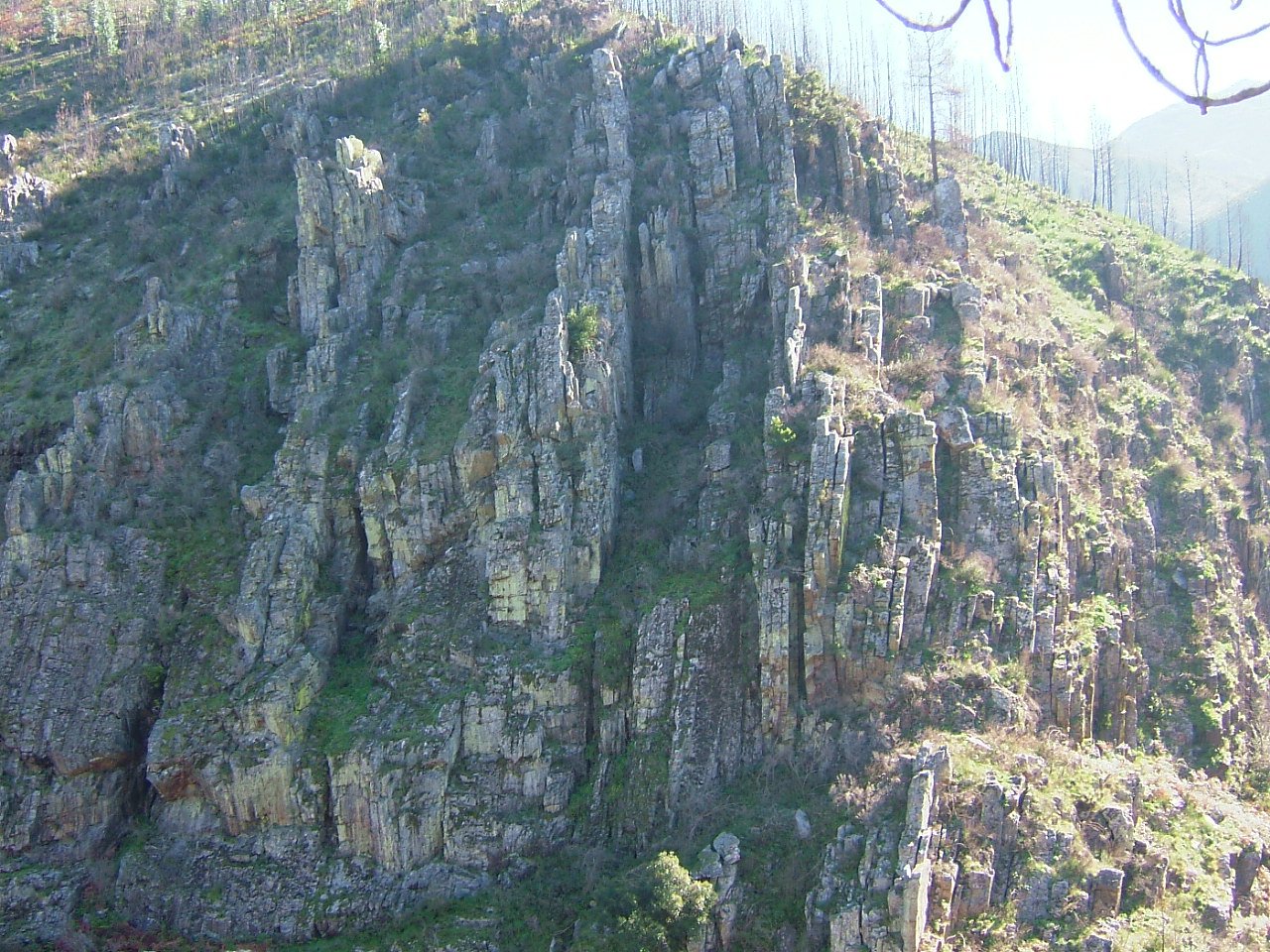
Portal do Inferno e Garra
Icnofósseis da área de Mourinha