Route A: Freita: the enchanted mountain
Rota dos Geossítios
The name of the route almost says it all!
However, there is nothing quite like going and discovering. This route crosses one of the most beautiful areas of this territory. In the Freita Mountain’s plateau, located at more than 1000 m altitude, you’ll be able to observe a wide landscape, which covers a substantial part of the north and center of the country. This route will guide you in a trip of almost 22 km by motor vehicle and 3.5 km by foot. Along the “Enchanted Mountain”, you can visit 11 geosites, nine of them situated in the Freita Mountain’s plateau.
The whole route is integrated in the natural area classified as Natura 2000 network (Freita and Arada Mountains), and you’ll certainly find animal and vegetable species that will draw your attention. This is also a good opportunity to find and visit proofs of the human action that range from the prehistory, the Bronze Age and the infrastructures of today. At the end, do not hesitate to visit the traditional villages surrounding these mountains. But the experience is worth more than a thousand words. You’ll certainly be very well received by the local inhabitants.
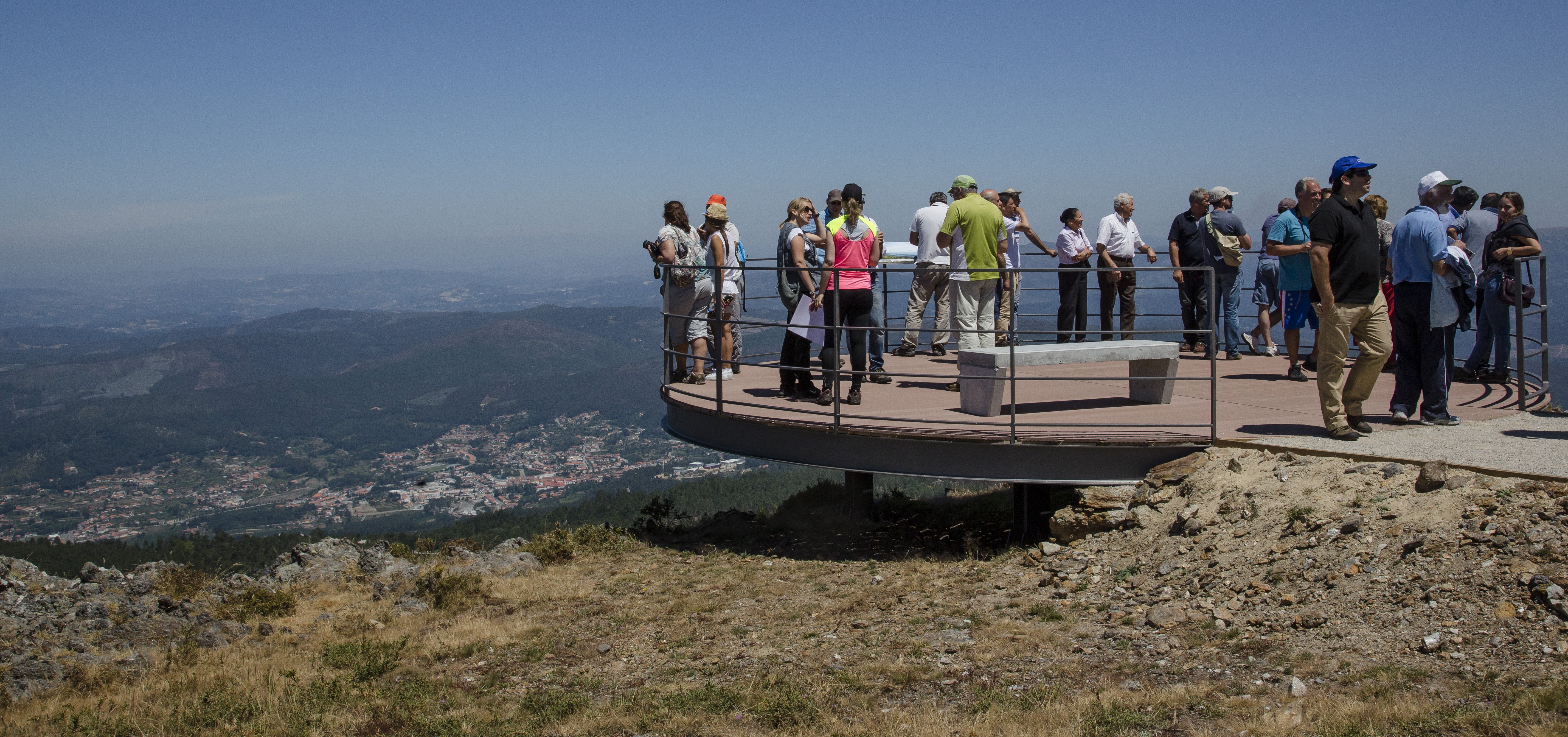
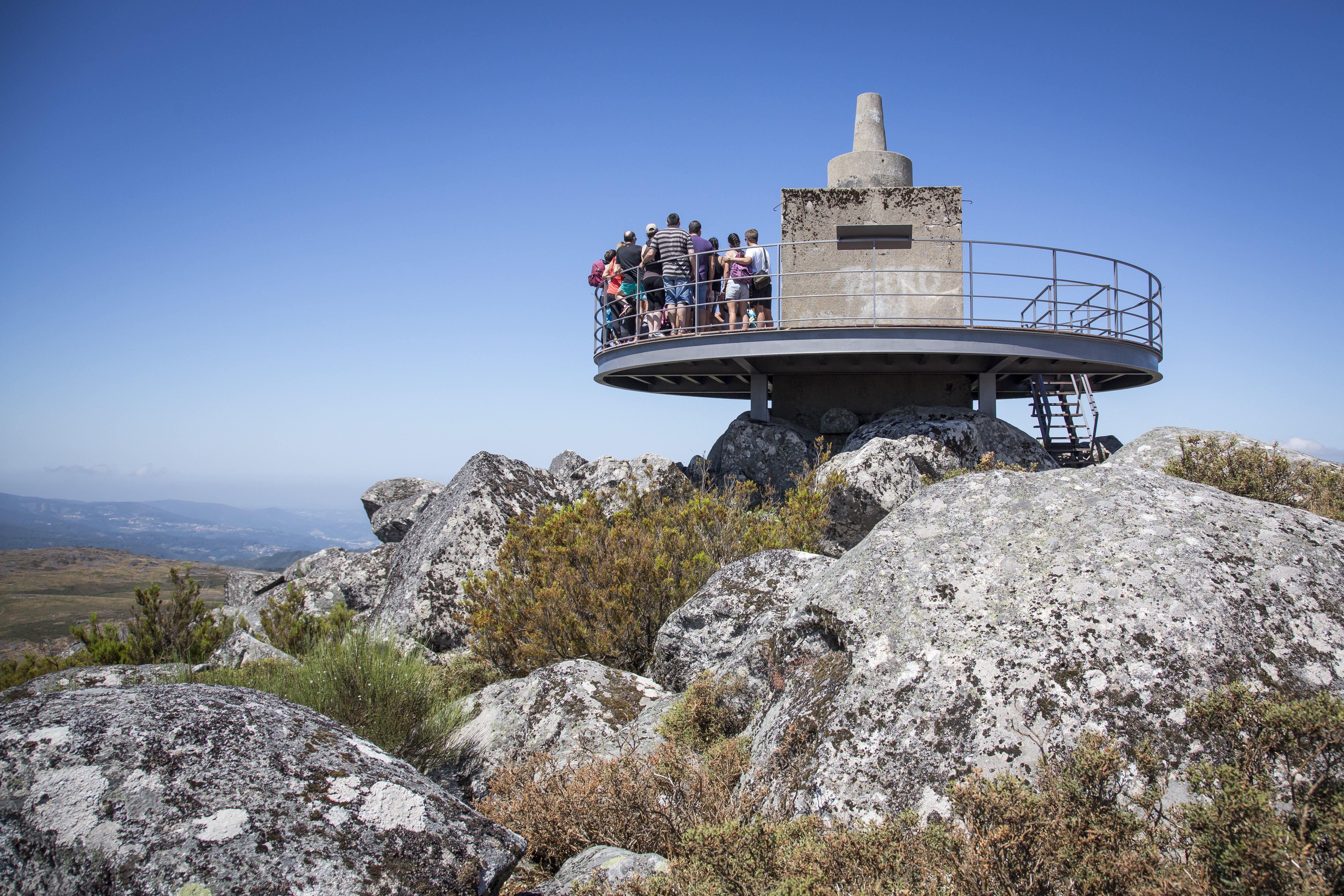
G1: Detrelo da Malhada Panoramic
G3: S. Pedro Velho
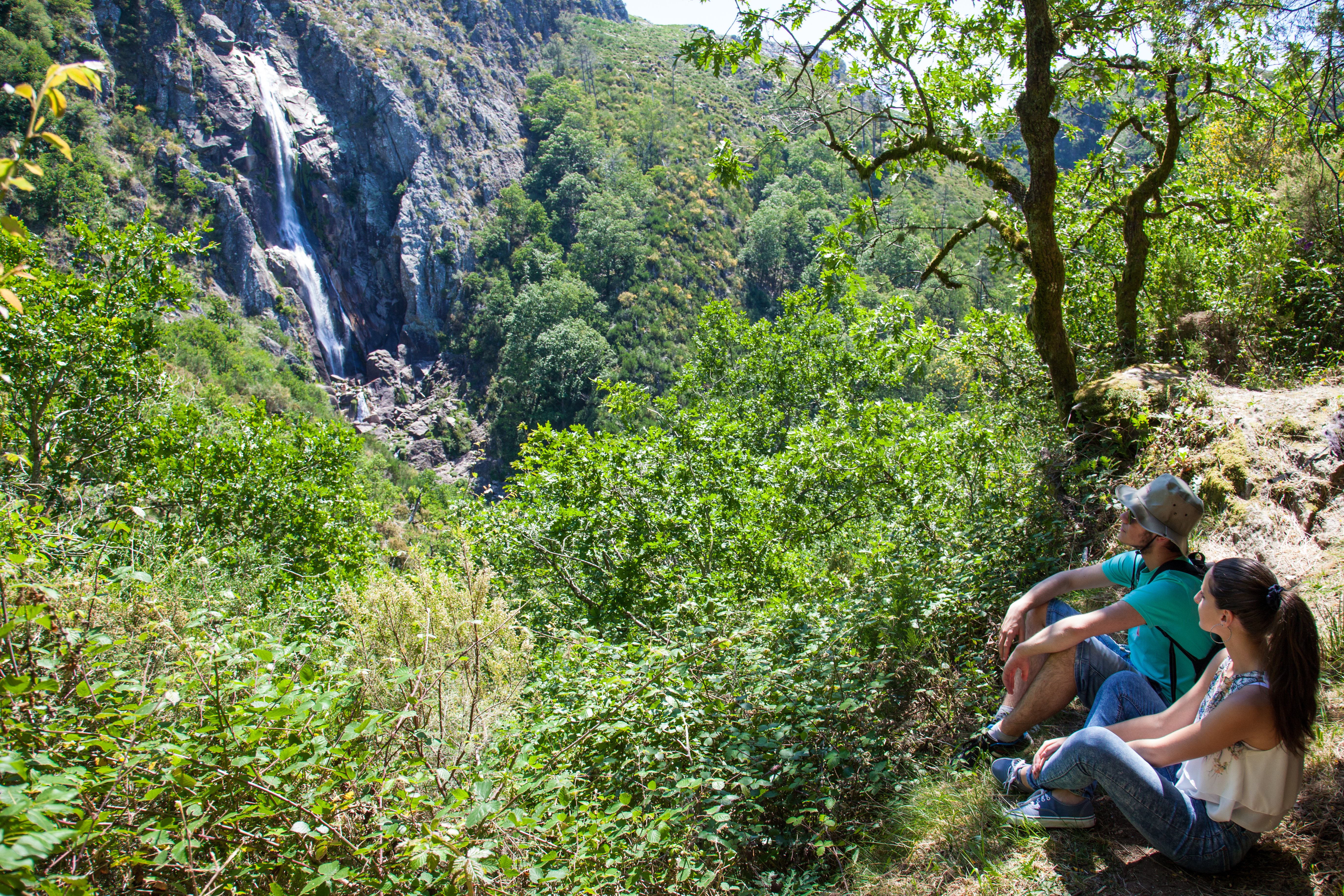
G6: Mizarela waterfall
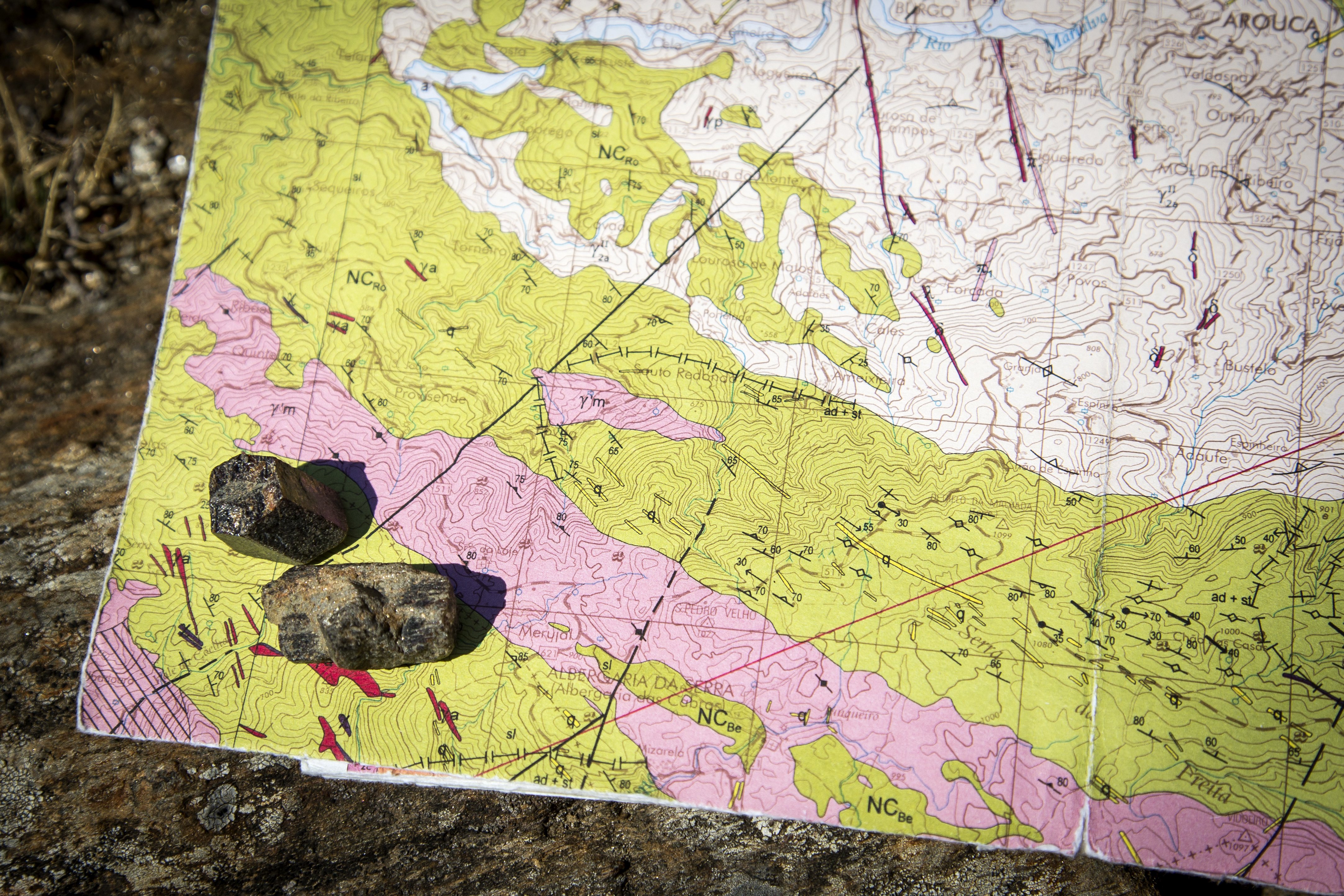
G5: Mizarela lithological contact
G4: Caima river potholes
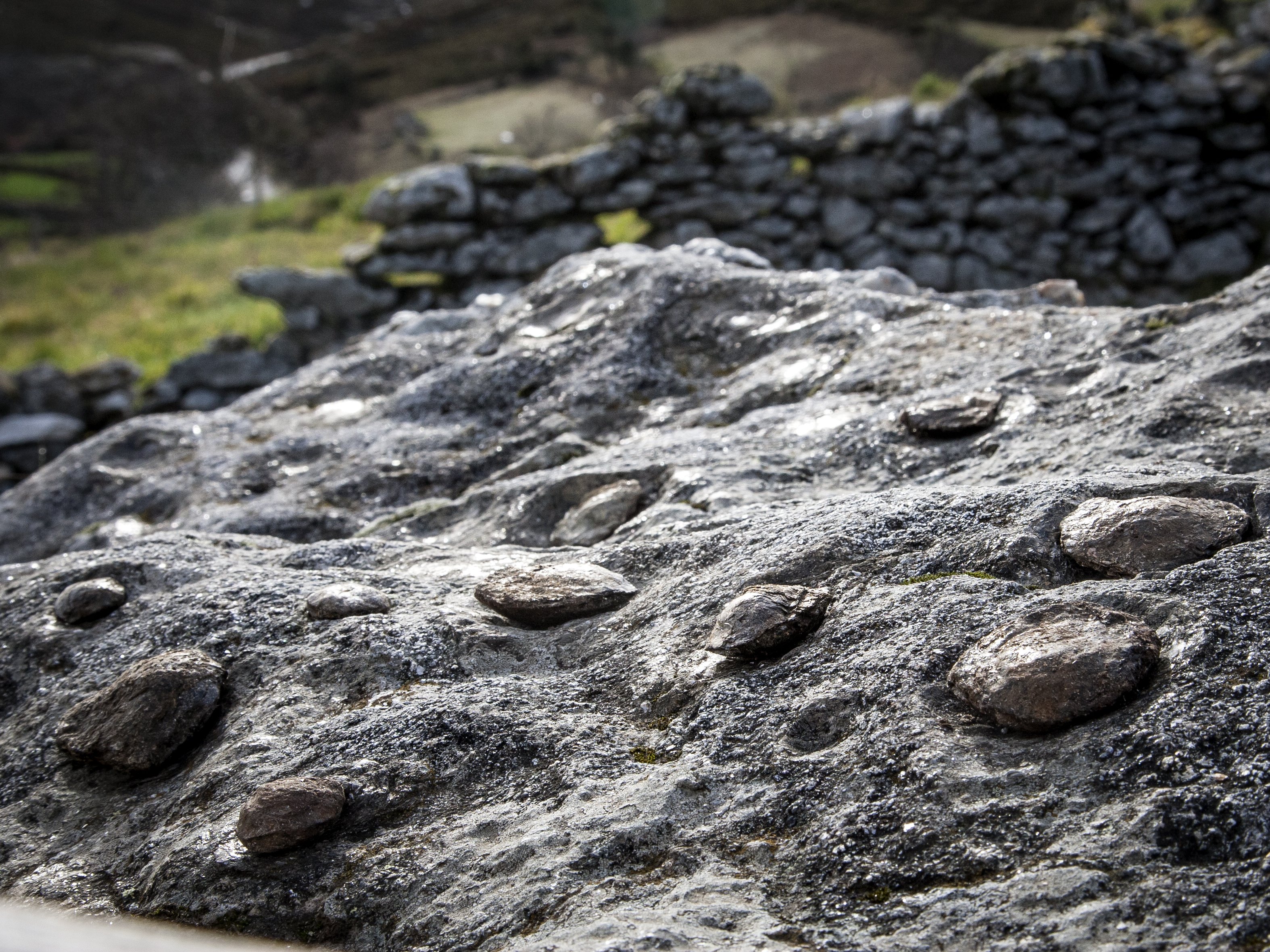
G7: Birthing stones
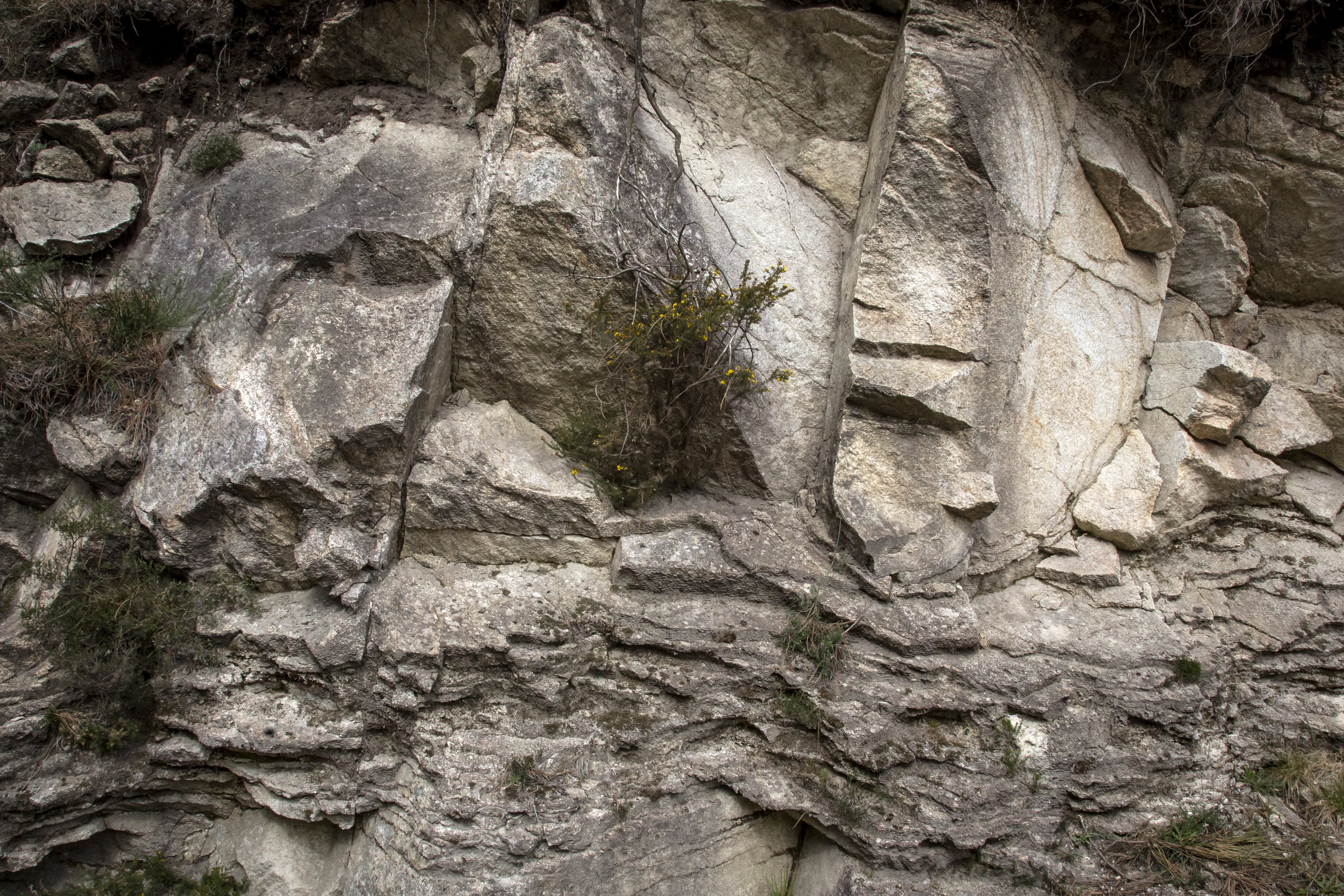
G8: Folds of Castanheira
G10: Costa da Castanheira viewpoint
G11: Junqueiro maize bread rocks
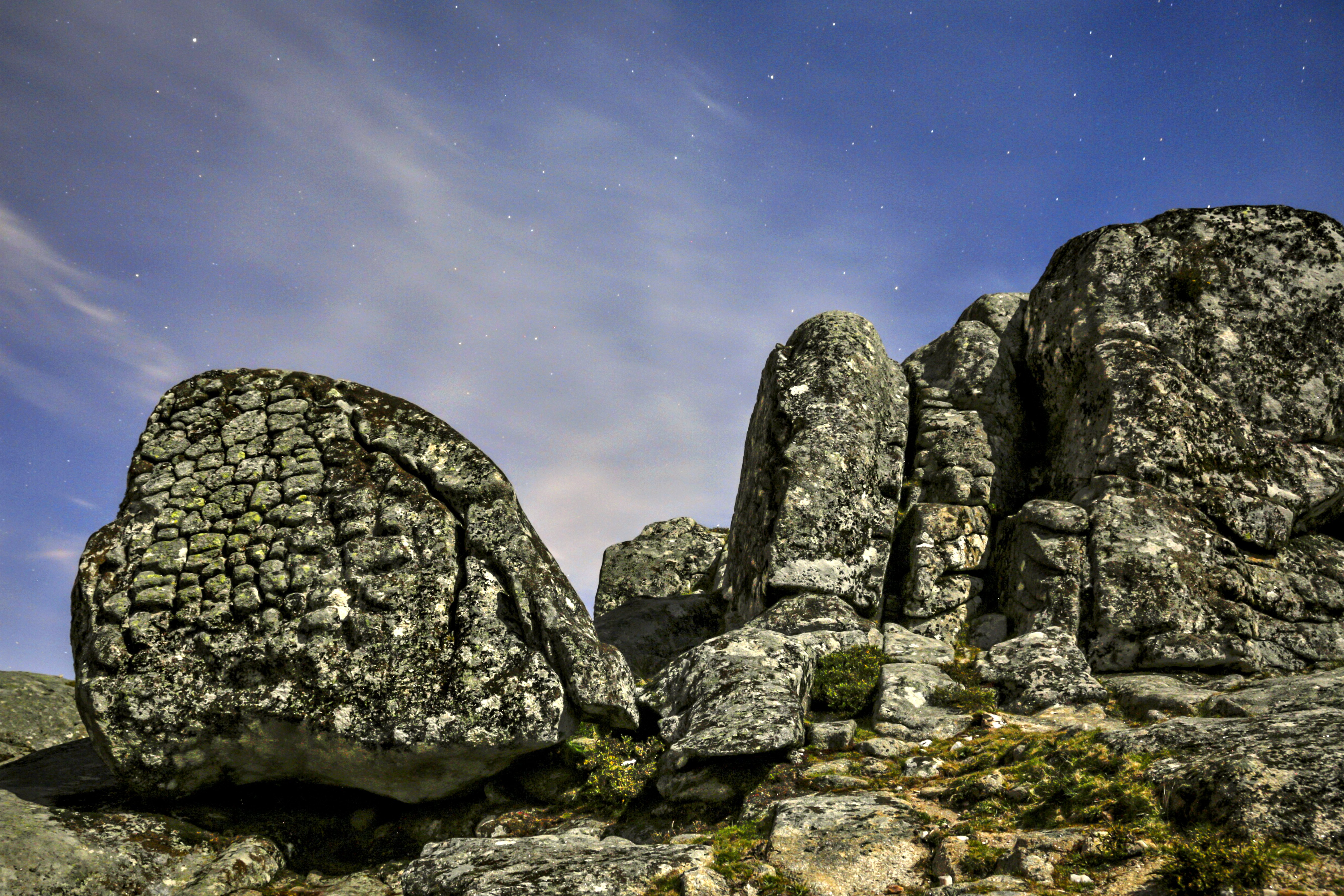
G13 e G14: Onion Rocks
 Route characteristics
- Starting point:G1: Detrelo da Malhada Panoramic
- End point:G13 e G14: Onion Rocks
- Distance:20.00 km
- Maximum altitude:340 m