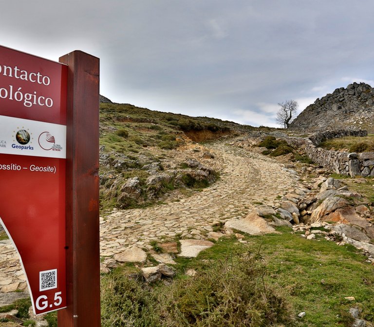
Pena Amarela Mines


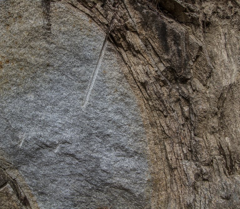
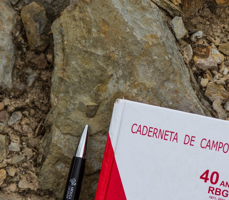
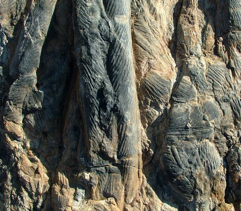
There is tungsten near the center of Arouca

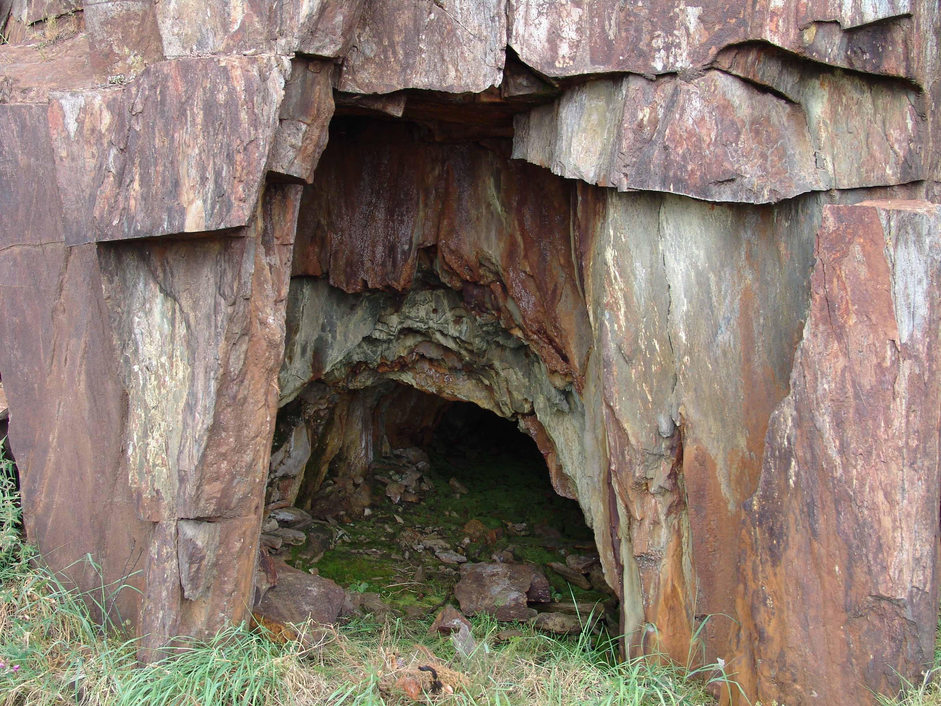
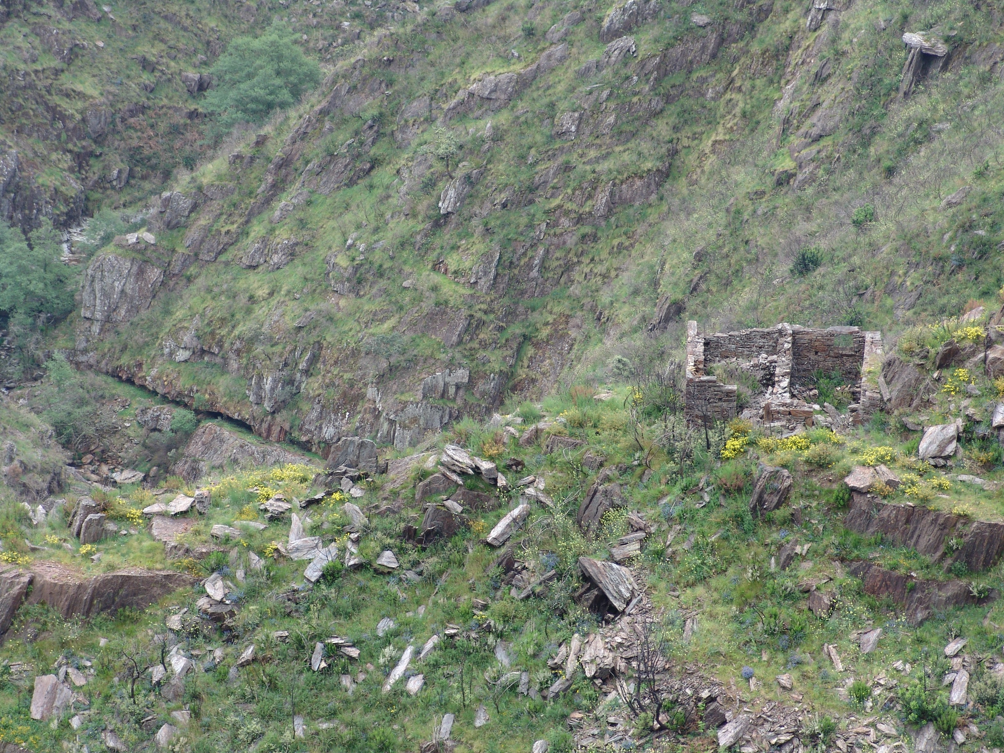
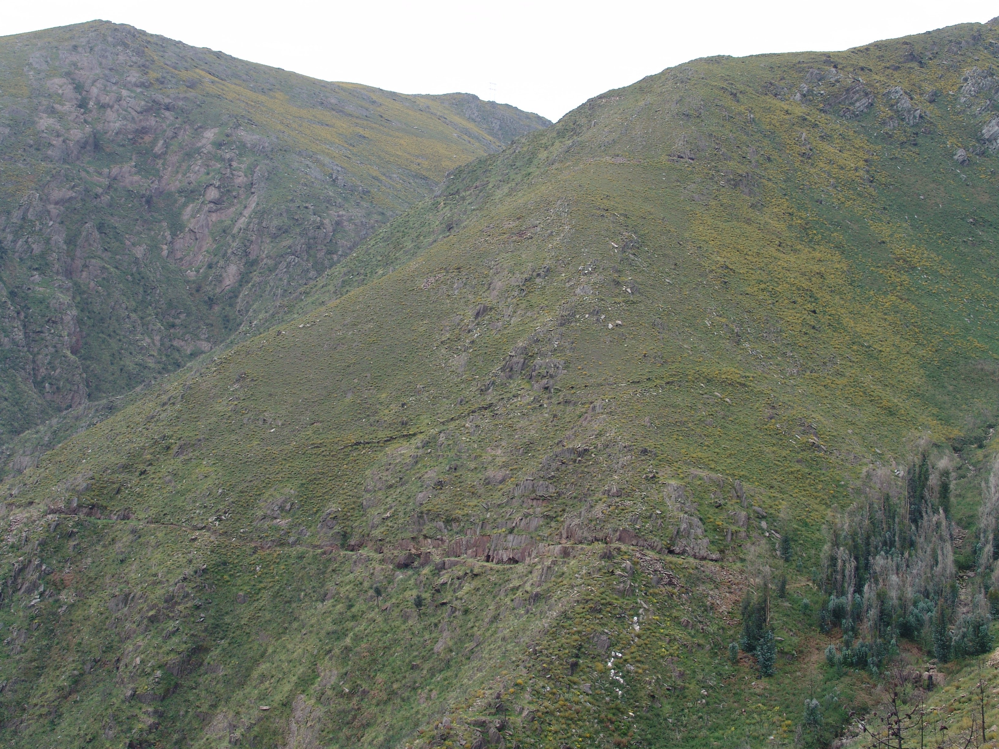
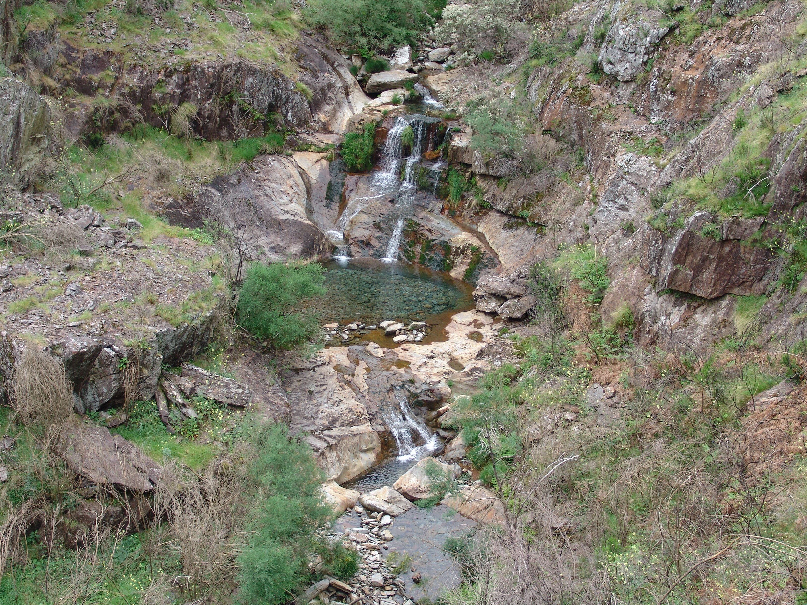
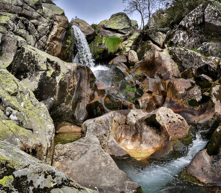
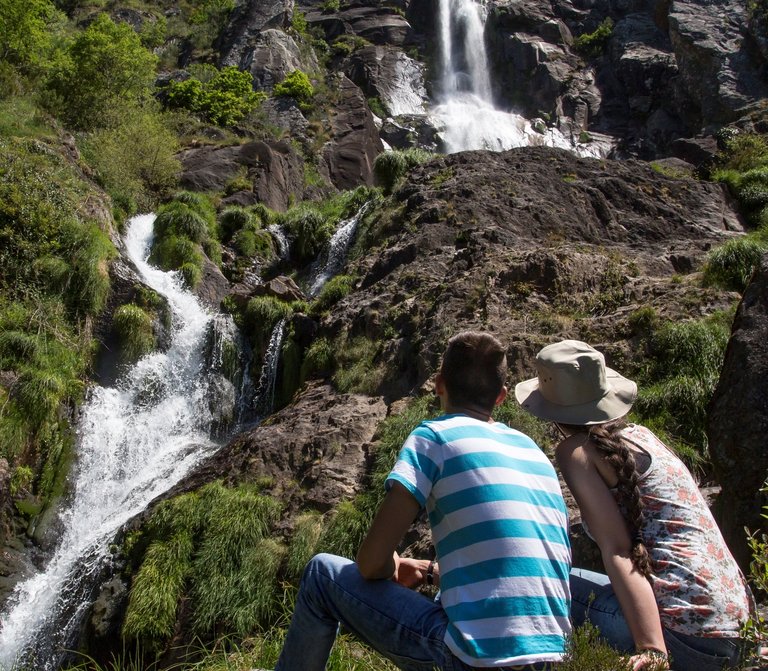
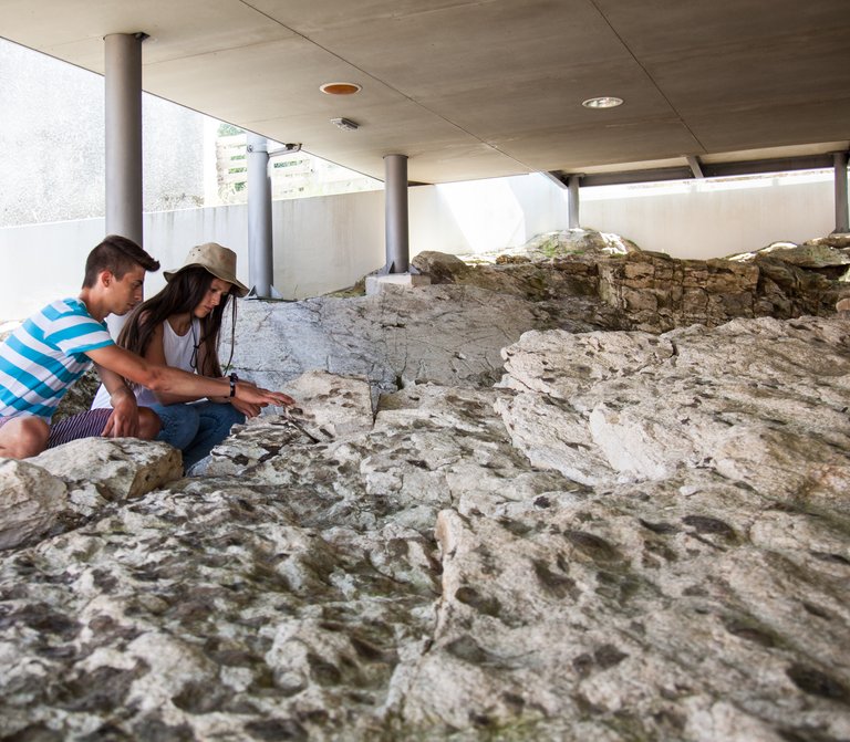
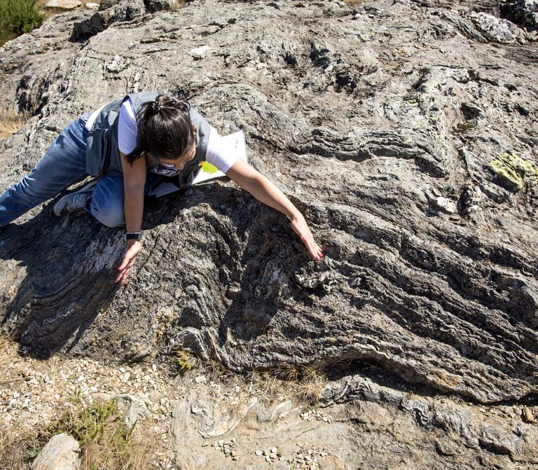
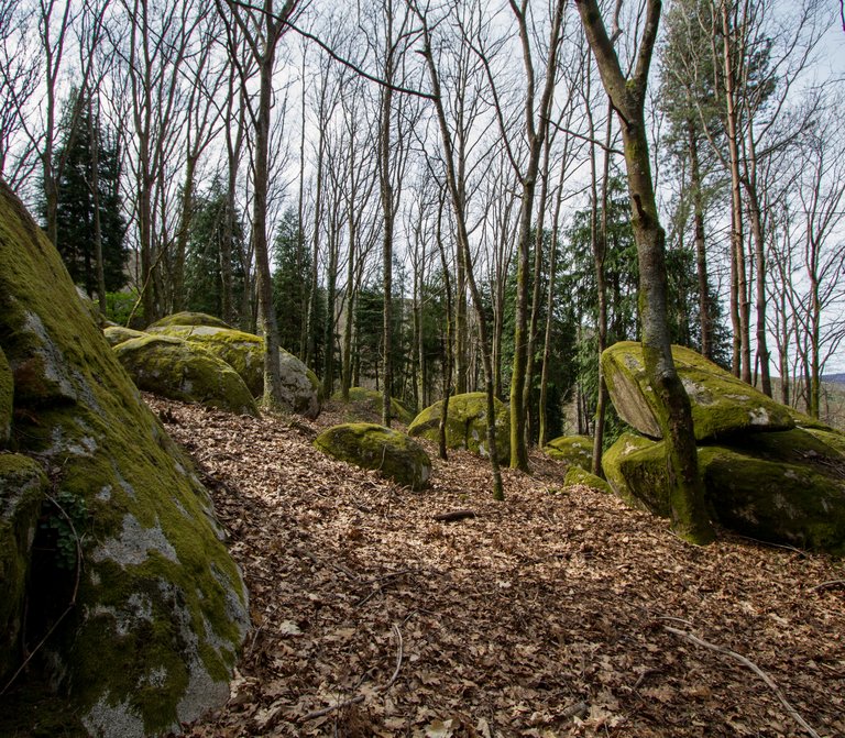
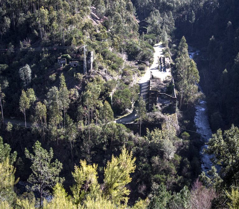
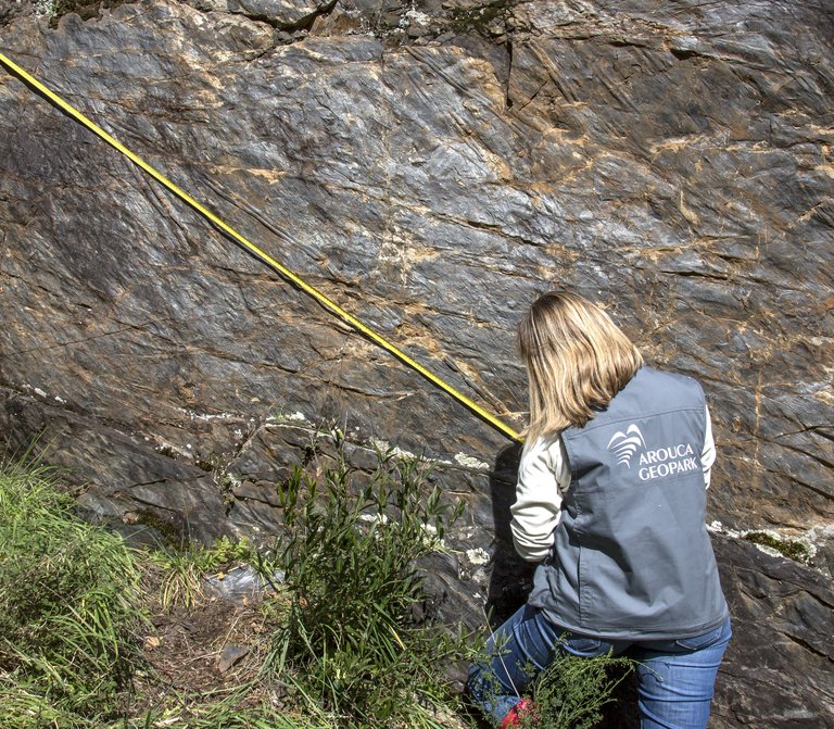
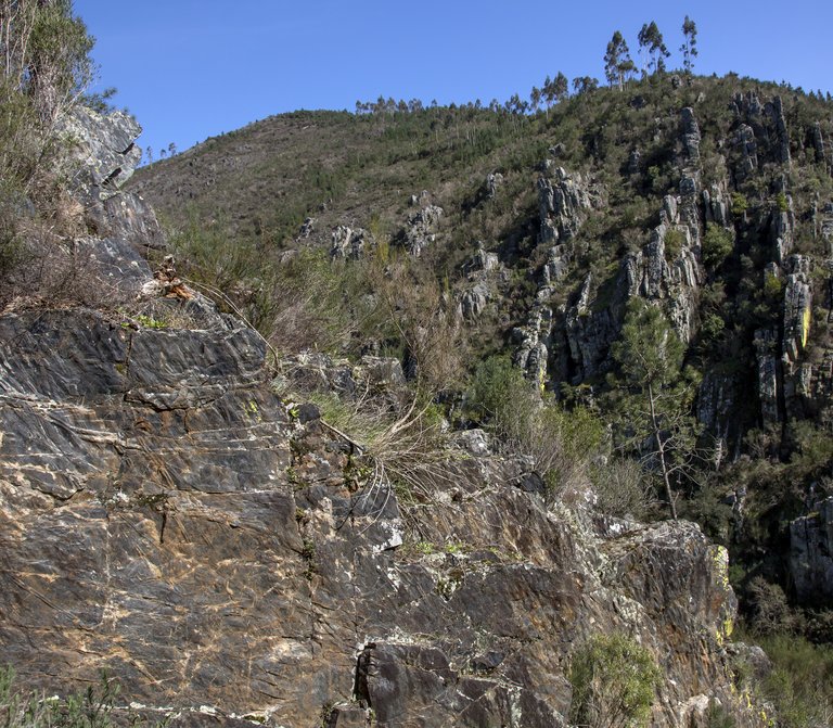
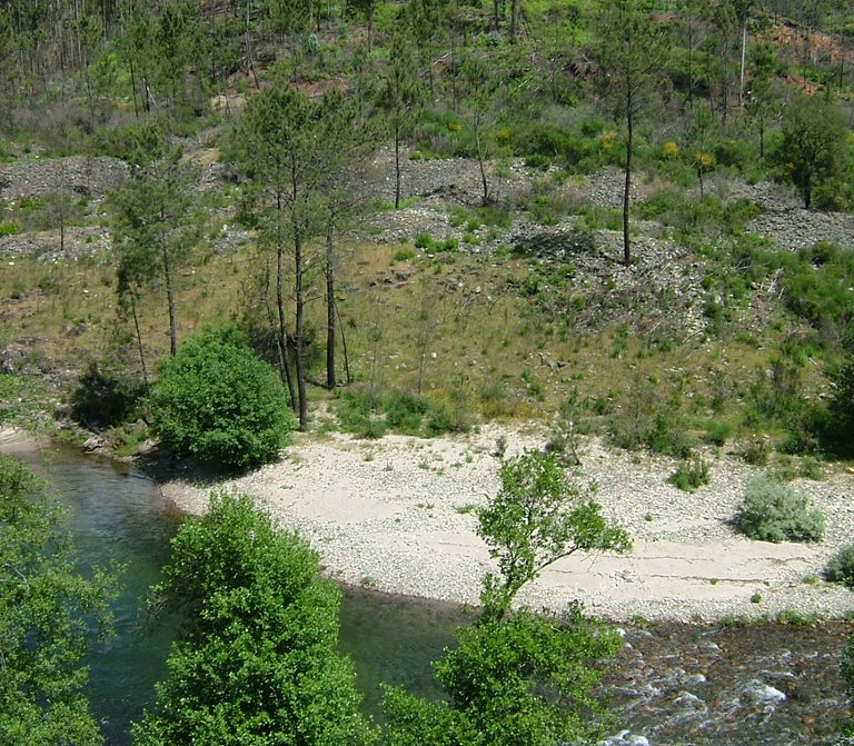
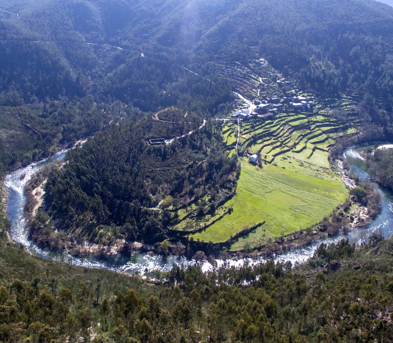
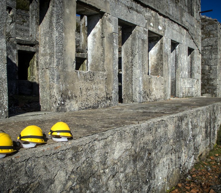
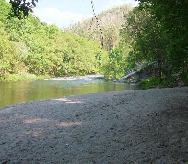
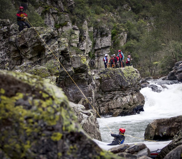
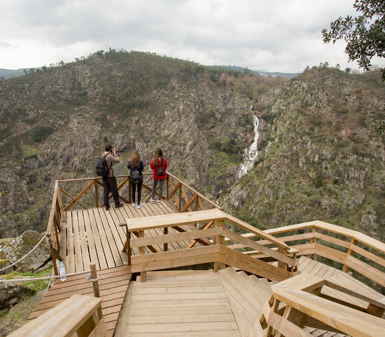
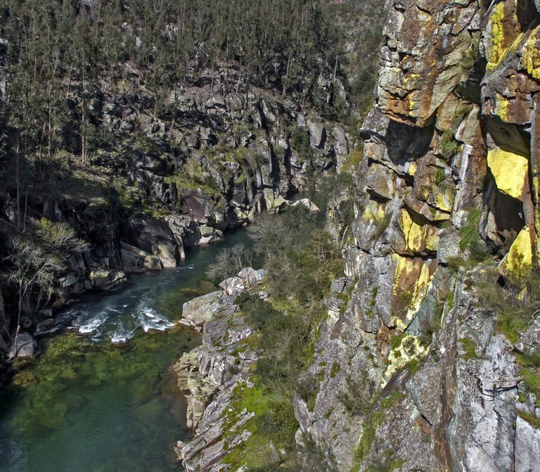
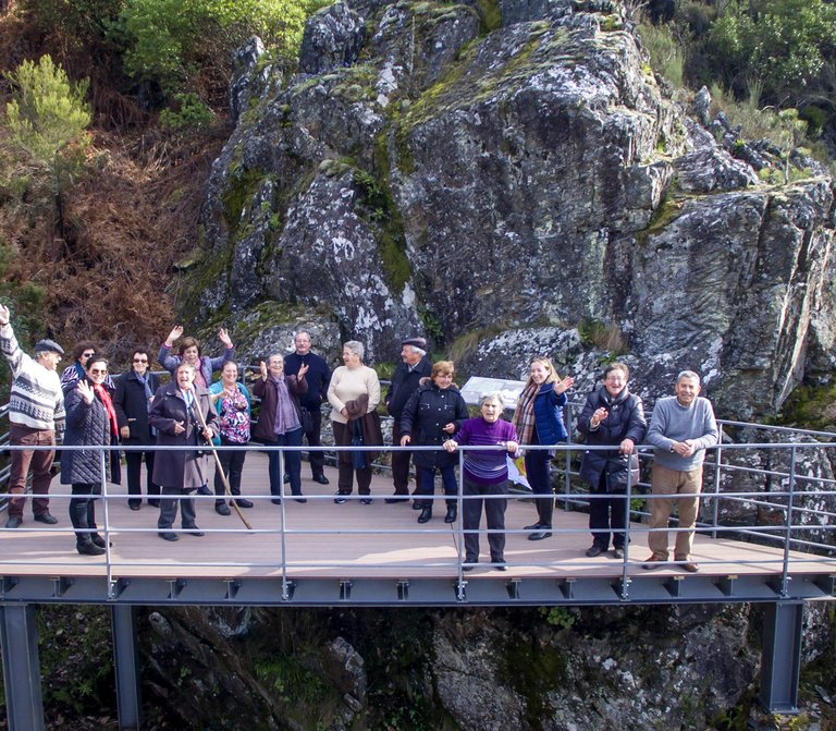
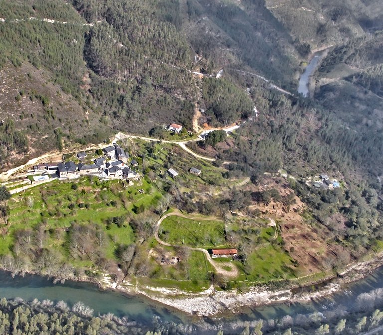
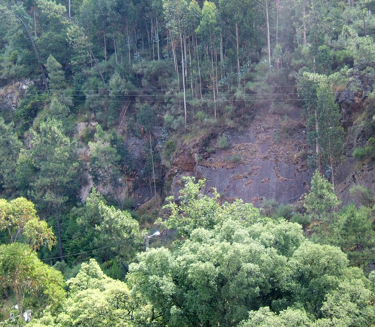
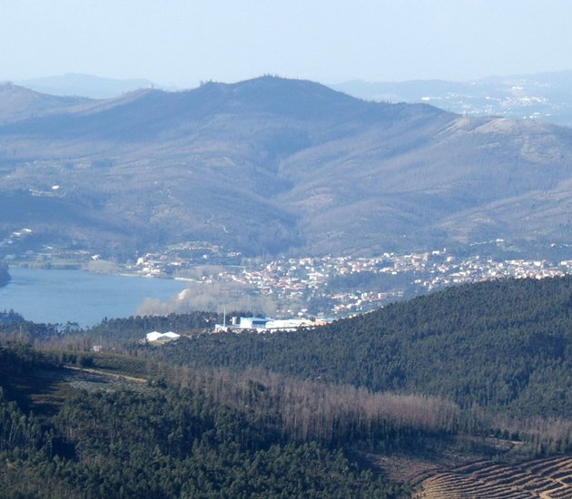
The exploration of the Pena Amarela mines is related to the exploration of tungsten and tin that occurs in the region and that integrate a set of deposits of tungsten and tin occurring from Galiza to Castela (Spain), crossing the north and center of Portugal, thus defining the designated “Iberian tin-tungsten metallogenic province”, integrated in the so called “North province”. Having said that, Portugal becomes the richest European country in this ore, and that’s why it was highly coveted by England and Germany, mainly during the World War II, once this ore was used for the production of weapons and munitions. In the Pena Amarela mines area we can find several mine entrances that testify old illegal explorations. These can be observed through a panoramic point or you can walk through a trail near them. They were explored by the “robbers”, that were essential Arouca’s inhabitants during the “Tungsten fever” period. In the peak period of the World War II, the “robbers” ventured to drill with a pickax the hard rock hoping to find the “black gold” that would allow them to make a small fortune. Later in 1953, these mines were leased and licensed for the so called “Pena Amarela 1” and “Pena Amarela 2”. The lack of outlets for the product has resulted in the abandonment of this and other tungsten mines in Arouca, in 1988.  Besides all the historical and mining aspects that characterize this place, the involving scenic arrangement is also unforgettable. The landscape is marked by valleys with clear and crystal waters, like the Cobela stream and the Pena Amarela stream, that run-off nearby. The Cobela stream forms a waterfall that holds the eyes of the pedestrians.

Useful information

Pena Amareala, Freguesia de Moldes
450 m
40.8888889 | -8.2055556

Other geosites

_MG_9935.jpg
1

Panorâmica do Detrelo da Malhada

Explore
Côto do Boi
2

Côto do Boi

Explore
S. Pedro Velho
3

S. Pedro Velho

Explore
Marmitas de gigante
4

Marmitas de Gigante do Caima

Explore
Contacto Litológico da Mizarela
5

Contacto Litológico da Mizarela

Explore
Frecha da Mizarela
6

Frecha da Mizarela

Explore
_MG_9717.jpg
7

Pedras Parideiras

Explore
Dobras da Castanheira
8

Campo de dobras da Castanheira

Explore
_MGL0623.jpg
9

Filão de Quartzo de Cabaços

Explore
Torre Meteorológica 8.jpg
10

Panorâmica da Costa da Castanheira

Explore
2600.jpg
11

Pedras Boroas do Junqueiro

Explore
_MGL0754.jpg
12

Pias do Serlei

Explore
Pedras Cebola 4.jpg
13

Quartzodiorito de Espinho (Pedras Cebola)

Explore
Viveiros Granja 4.jpg
14

Bolas Quartzodioríticas dos Viveiros da Granja (Pedras Cebola)

Explore
4.jpg
16

Minas de Rio de Frades

Explore
123.jpg
17

Icnofósseis de Mourinha

Explore
128.jpg
18

Livraria do Paiva

Explore
Conheiros de Janarde
19

Conheiros de Janarde

Explore
78.jpg
20

Meandros do Paiva

Explore
Icnofósseis da área de Meitriz
21

Icnofósseis de Meitriz

Explore
36.jpg
22

Minas de Regoufe

Explore
_MG_8381.jpg
23

Portal do Inferno e Garra

Explore
_MG_8240.jpg
24

Panorâmica da Senhora da Mó

Explore
PO-01811_p106e107.jpg
25

Coleção de Fósseis do Centro de Interpretação Geológica de Canelas

Explore
IMG_2616.jpg
26

Glaciação ordovícica

Explore
IMG_2581.jpg
27

Afloramento do Silúrico inferior

Explore
IMG_2653.jpg
28

Conglomerado do Carbónico

Explore
96.jpg
29

Gralheira d'Água

Explore
Praia fluvial do Vau
30

Vau

Explore
IMG_5537.jpg
31

Gola do Salto

Explore
Aspectos geotectónicos de Espiunca
32

Falha da Espiunca

Explore
Icnofósseis da área de Vila Cova
33

Icnofósseis de Vila Cova

Explore
Icnofósseis da área de Vilarinho
34

Icnofósseis de Vilarinho

Explore
arouca_0206-27-2.jpg
35

Cascata das Aguieiras

Explore
2.jpg
36

Garganta do Paiva

Explore
15.jpg
37

Icnofósseis de Cabanas Longas

Explore
pag122e123_1_Avelino.jpg
38

Mira Paiva

Explore
Marco geodésico da Pedra Posta
39

Pedra Posta

Explore
PedraMa2.jpg
40

Pedra Má

Explore
Panorâmica da marco geodésico de Sobreiros
41

Panorâmica de Sobreiros

Explore