Geosite 29 Gralheira d’Água
Since Roman times…
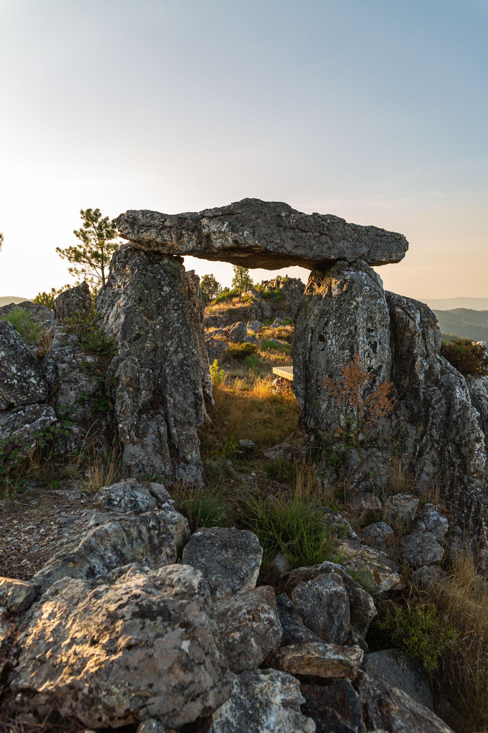
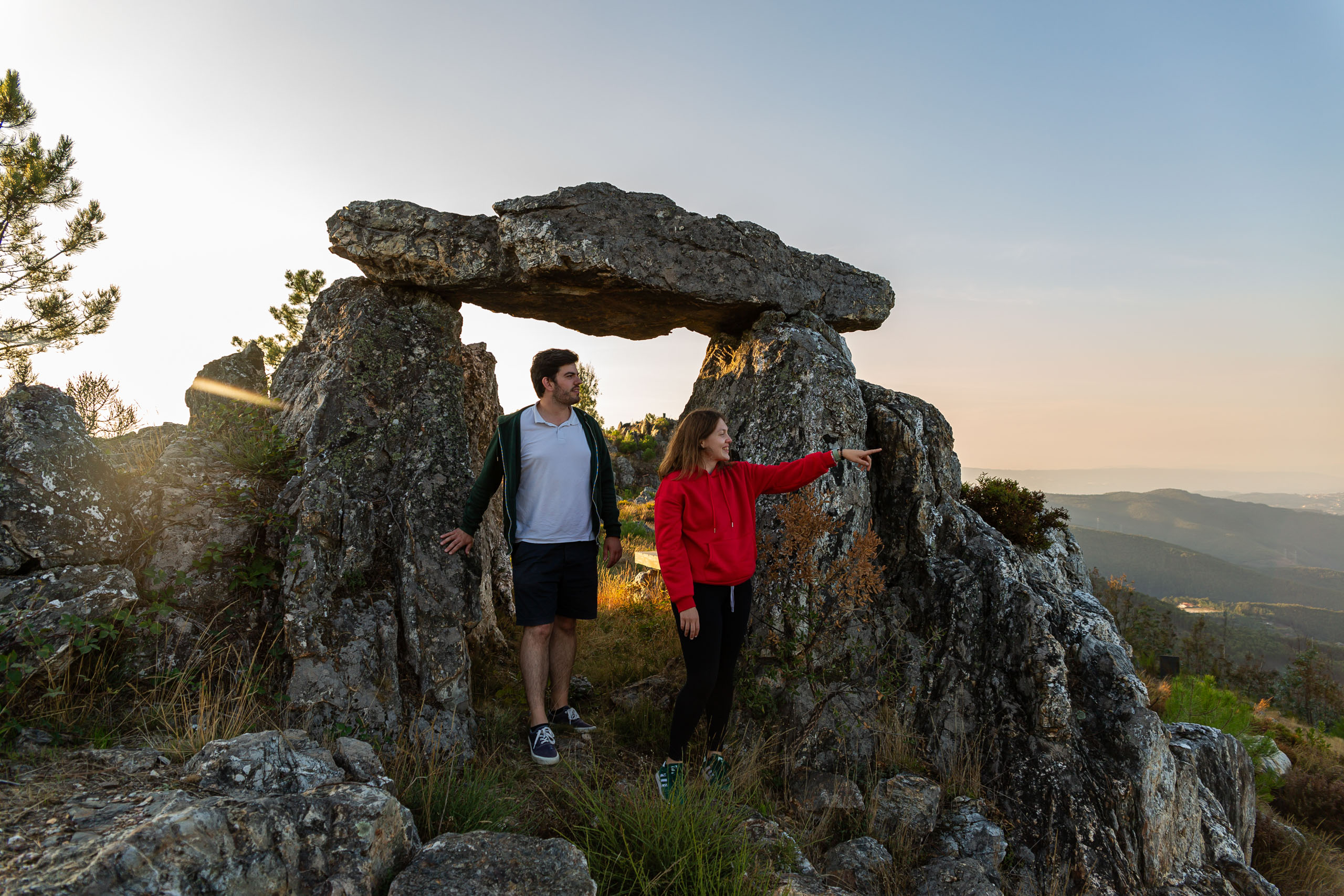
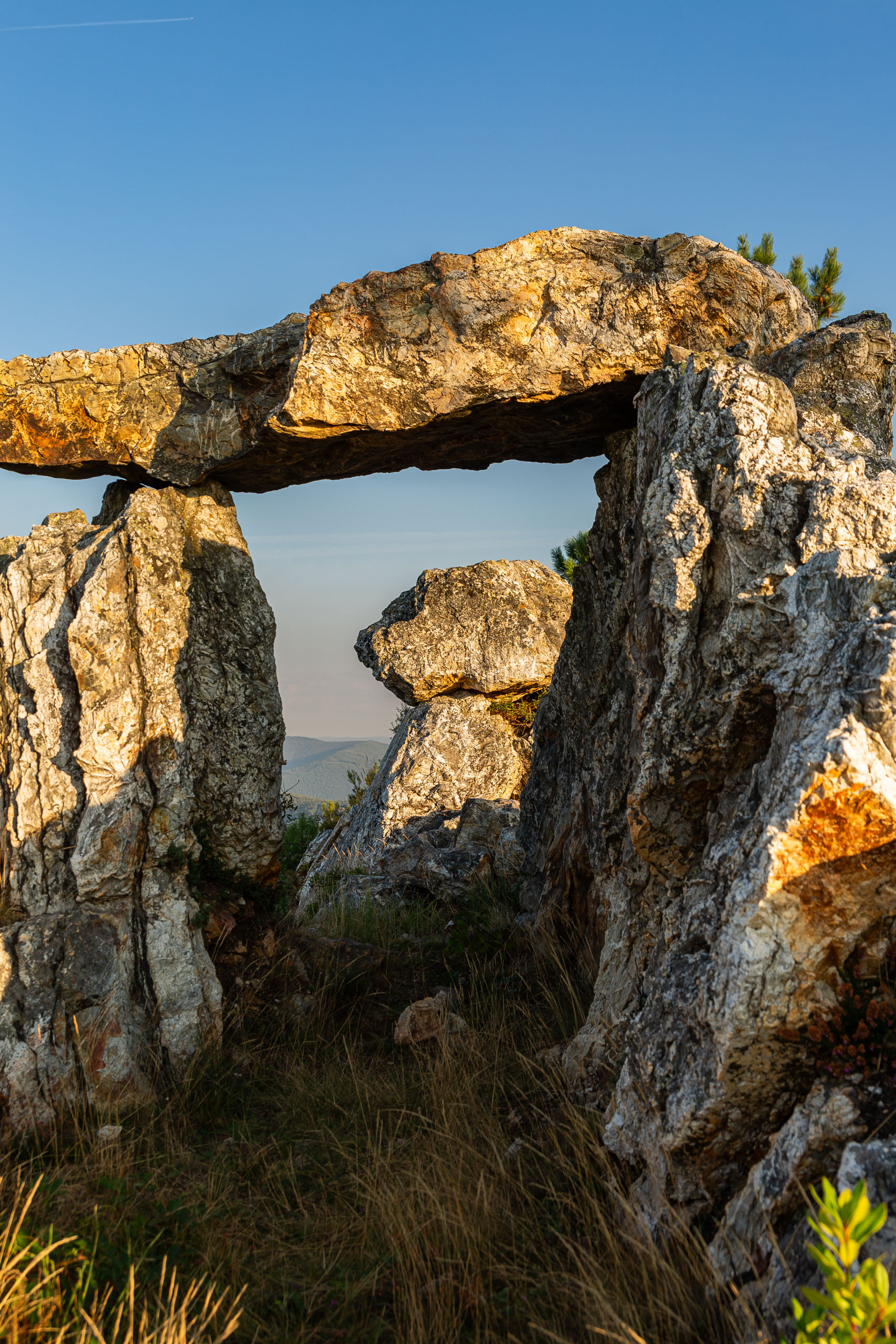
Gralheira d’Água is a viewpoint located at the top of a quartzite ridge. Quartzite is a very resistant rock, formed 475 million years ago from fine sands that were deposited on the seabed. It preserves various marks of living beings (ichnofossils) where Cruziana tracks stand out, resulting from the activities of arthropods such as trilobites, beings that are now extinct.
There was also a mine here in the Roman period, known as the Poço dos Mouros or fojo da Gralheira d’Água, where gold was probably mined.
From here, you can also enjoy a privileged view of the “Pedreira do Valério” and, at the same time, distinguish the different lithologies that outcrop in the region, as well as an extraordinary 360-degree panorama: to the northwest you can see Porto, to the north Entre-os-Rios and Penafiel, to the northeast Canelas and the Serra de Montemuro, to the east the S. Macário and S. Pedro do Água mountains.
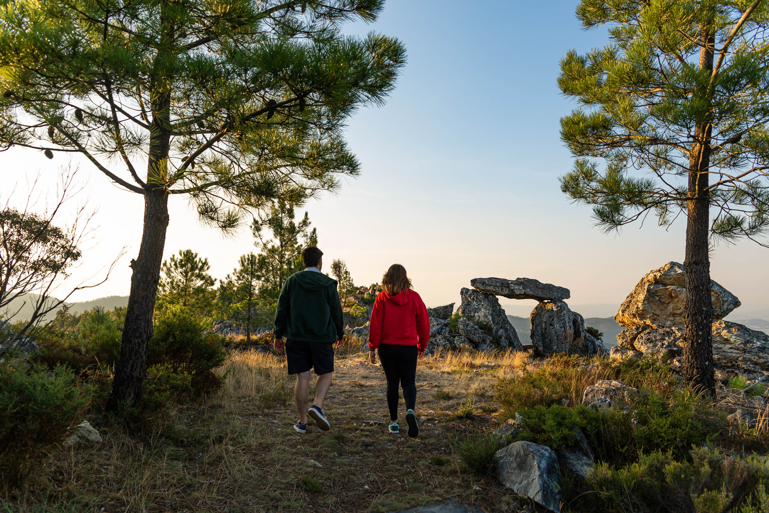
Gralheira d’Água is part of the Iter Hominis Vale do Paiva trail.
This geosite is part of the itinerary C: Paiva, O Vale Surpreendente.
Learn more about the Geosites Route .
Geological Information
This geosite corresponds to a residual relief of quartzite, tracing the origin of these rocks back to the Arenigian – Lower Ordovician (475 million years ago). This quartzite is the result of the deposition of fine sands in a shallow marine environment, preserving traces of Cruziana resulting from the activity of arthropods.
In addition, this site stands out for the presence of a Roman “fojo”, where gold mining took place. The auriferous mineralizations in the Arouca region are part of the Dúrico-Beirão mining district, which stretches for several dozen kilometers, from Esposende to Castro Daire.
Gold-bearing veins were explored at depth using thermal shock: a fire would be lit on the rock for long periods, then cold water or vinegar would be thrown on it, causing the rock to fracture into small pieces. The rock fragments were then removed and crushed in mortars dug into the rock. Outside the mine is a rudimentary washing plant made up of settling tanks where the materials would be separated by gravimetry, taking advantage of the high density of the gold.
Interests
Use
Relevance
Coordinates Gralheira d’Água
Photos and Videos Gallery
Gralheira d’Água
Gralheira d’Água
Gralheira d’Água
Gralheira d’Água