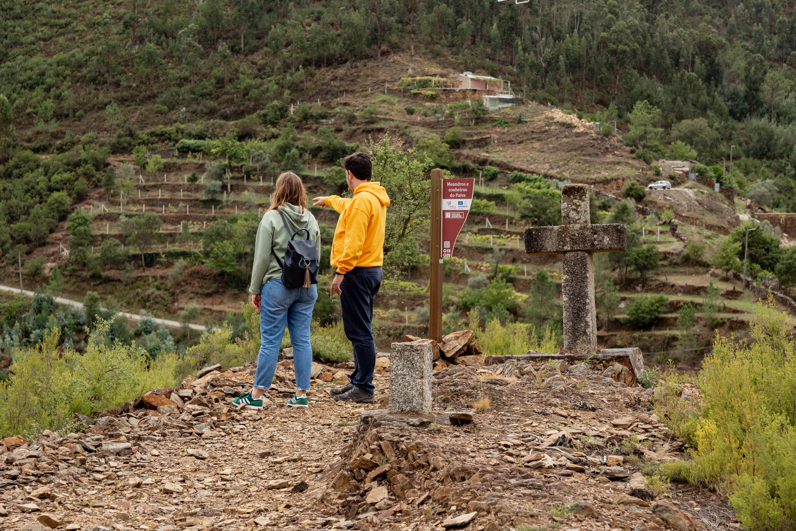
Geosite 20 Meanders of the Paiva
Meandering along the Paiva!
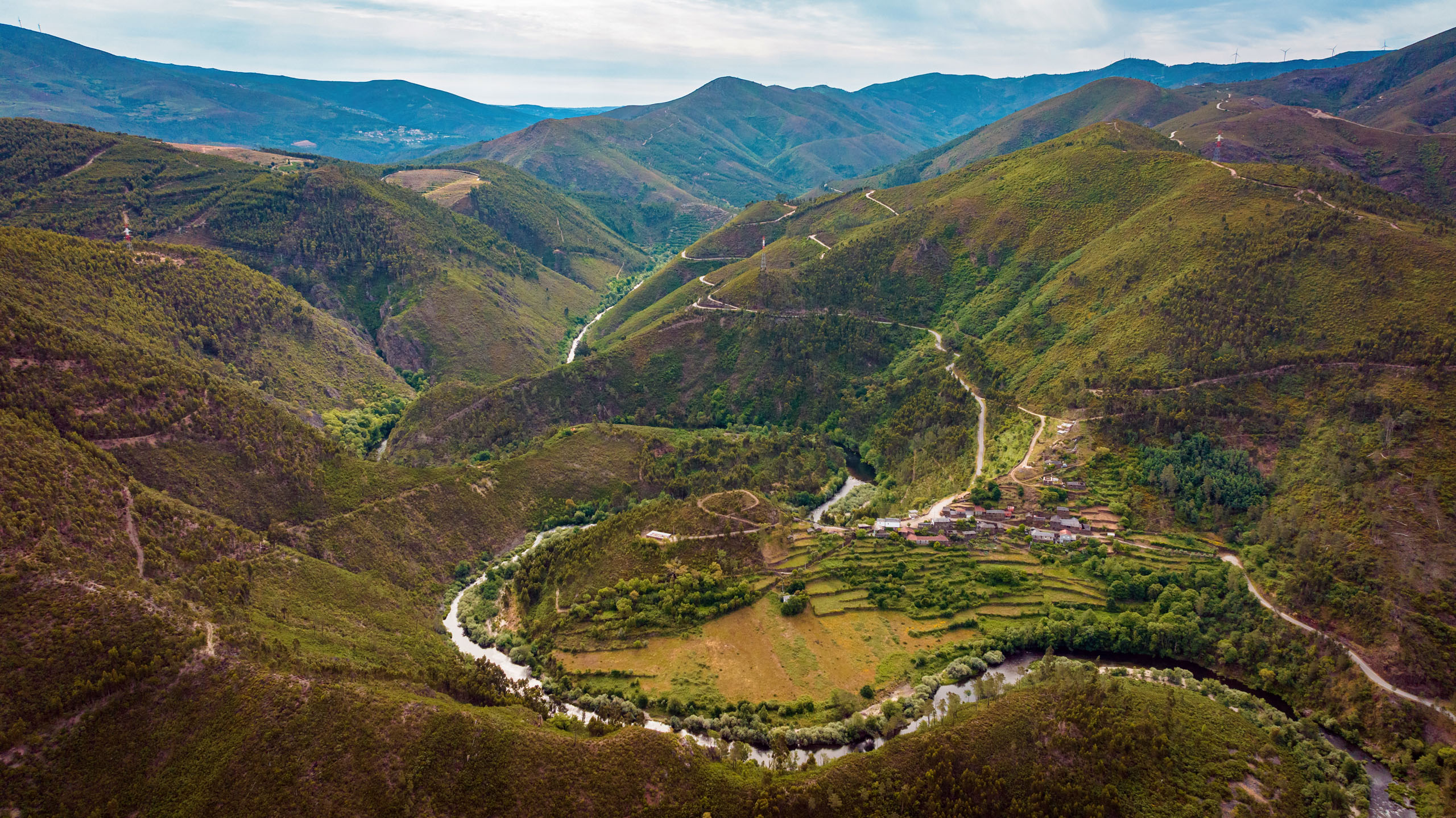
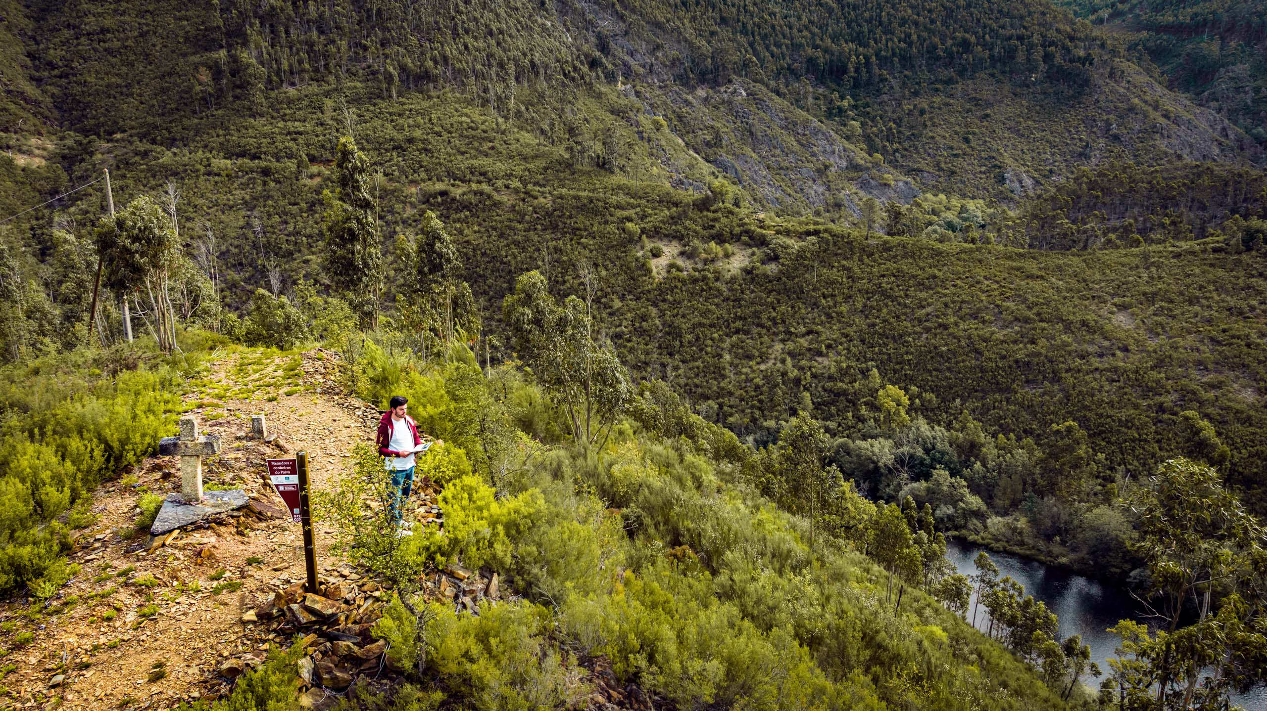
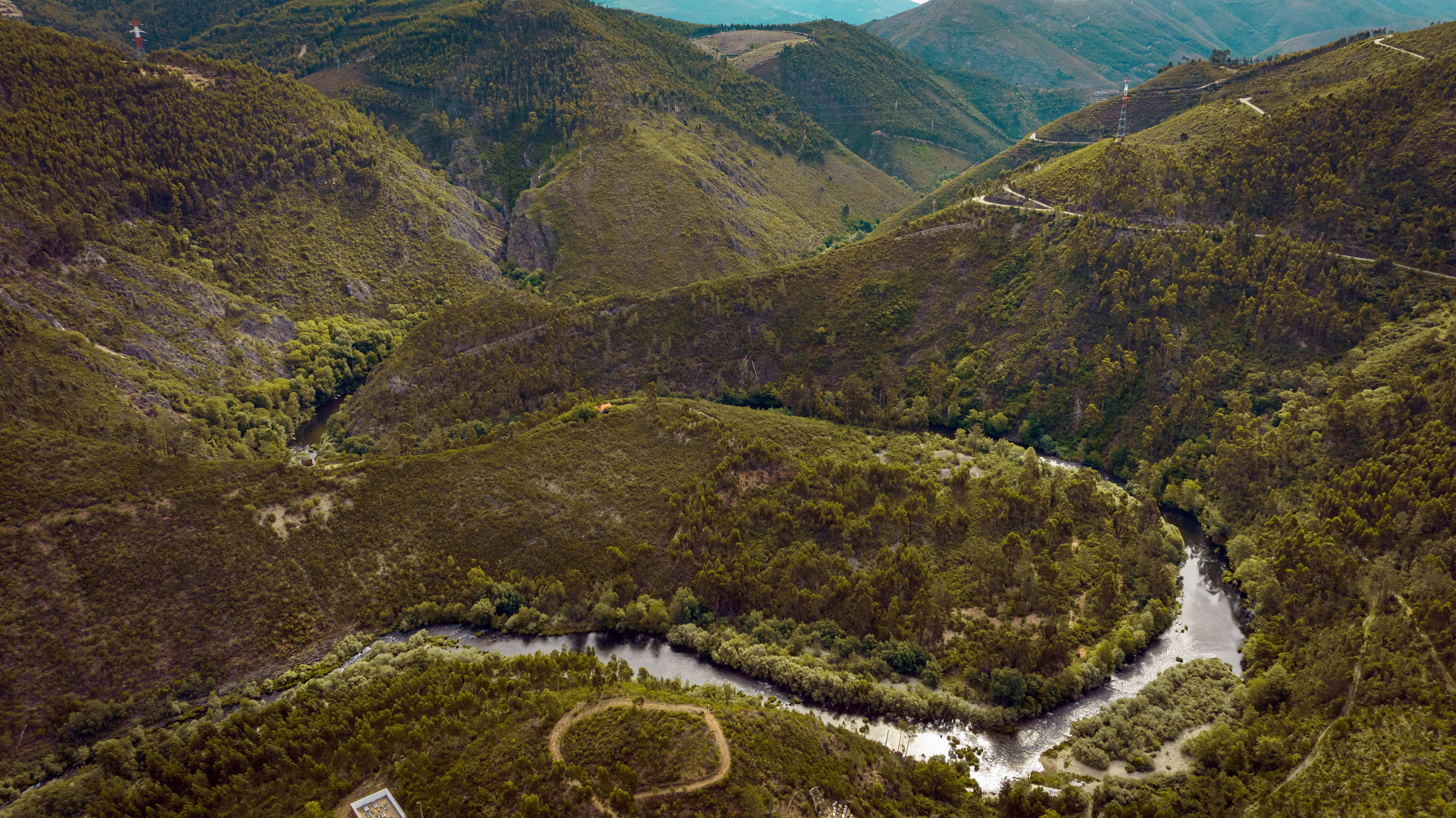
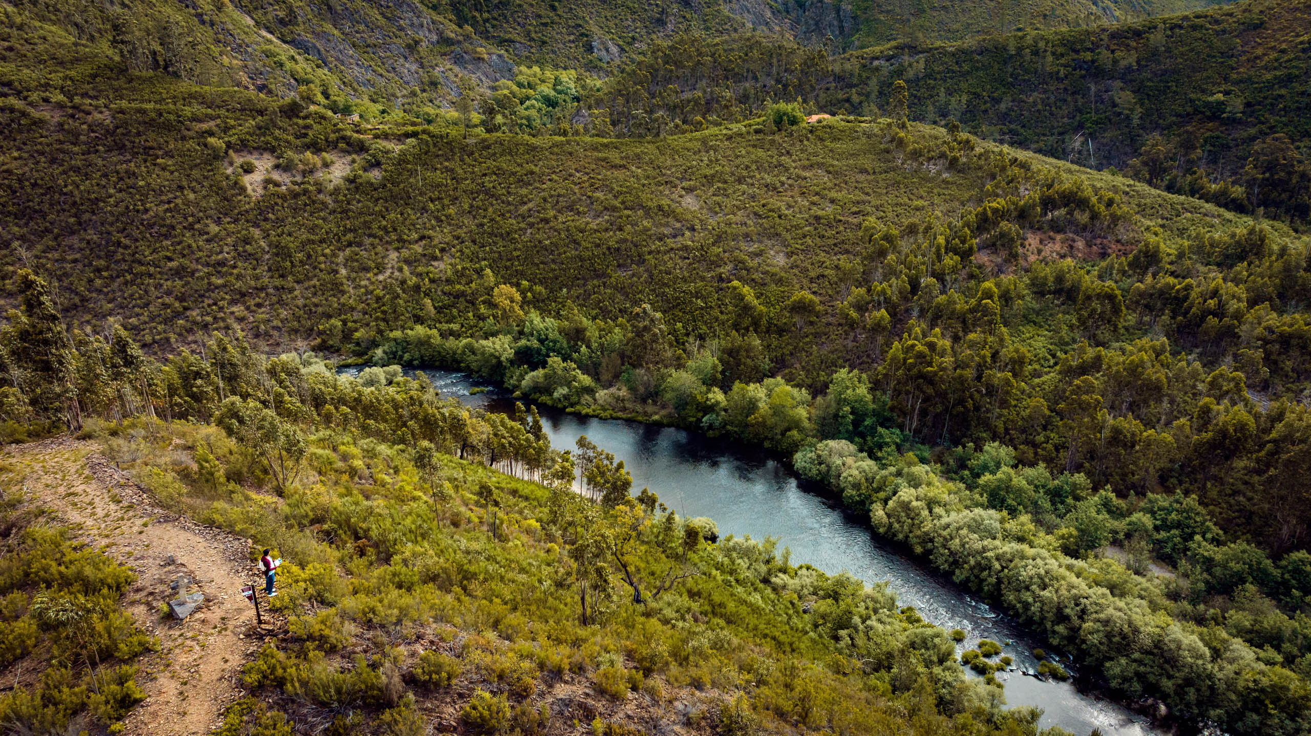
The Meanders of the Paiva can be seen both from the high point overlooking the village of Janarde and by following the winding road alongside the river. It is characterized by large sinuosities (bends) in the course of the Paiva River, which are common structures in lowland areas with calm waters, rather than in mountain areas. They are thus “false meanders” because their formation is related to tectonics and geological differentiation, giving rise to a landscape of exceptional beauty.
Geological Information
On the meandering banks of the Paiva River, river terraces were identified, testimony to the rapid and deep embayment of the Paiva River during the Pleistocene (< 2.5 million years ago), forming several staircase terraces, which correspond to former flood beds where coarser sediments were deposited, testimony to the high energy of the waters.
Two types of river terraces were identified: (i) to the east and west of Janarde, they are 10-15 meters above the riverbed and are formed by loose, poorly graded and selected pebbles, where quartzite, quartz minerals and fragments of grauvaque predominate; (ii) a consolidated deposit located behind the church, around 30-40 meters above the river level, with some coarse pebbles, agglutinated by clay-ferruginous cement, identical in composition to the previous deposits.
The gold mineralizations that occur in the Arouca Geopark fall within the “Dúrico-Beirão Mining District” and include more than a dozen deposits, some of which were actively mined at least during the Roman era. Conheiros do Paiva is the only known alluvial gold mine in the Arouca Geopark.
Interests
Use
Relevance
Coordinates Meanders of the Paiva
Photos and Videos Gallery
Meandros do Paiva
Conheiros do Paiva
Meandros e Conheiros do Paiva
Meandros e Conheiros do Paiva
Conheiros do Paiva