Geosite 7 Pedras Parideiras
The stone that stops a stone
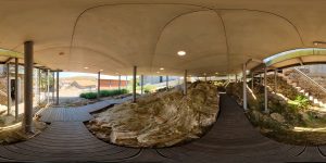
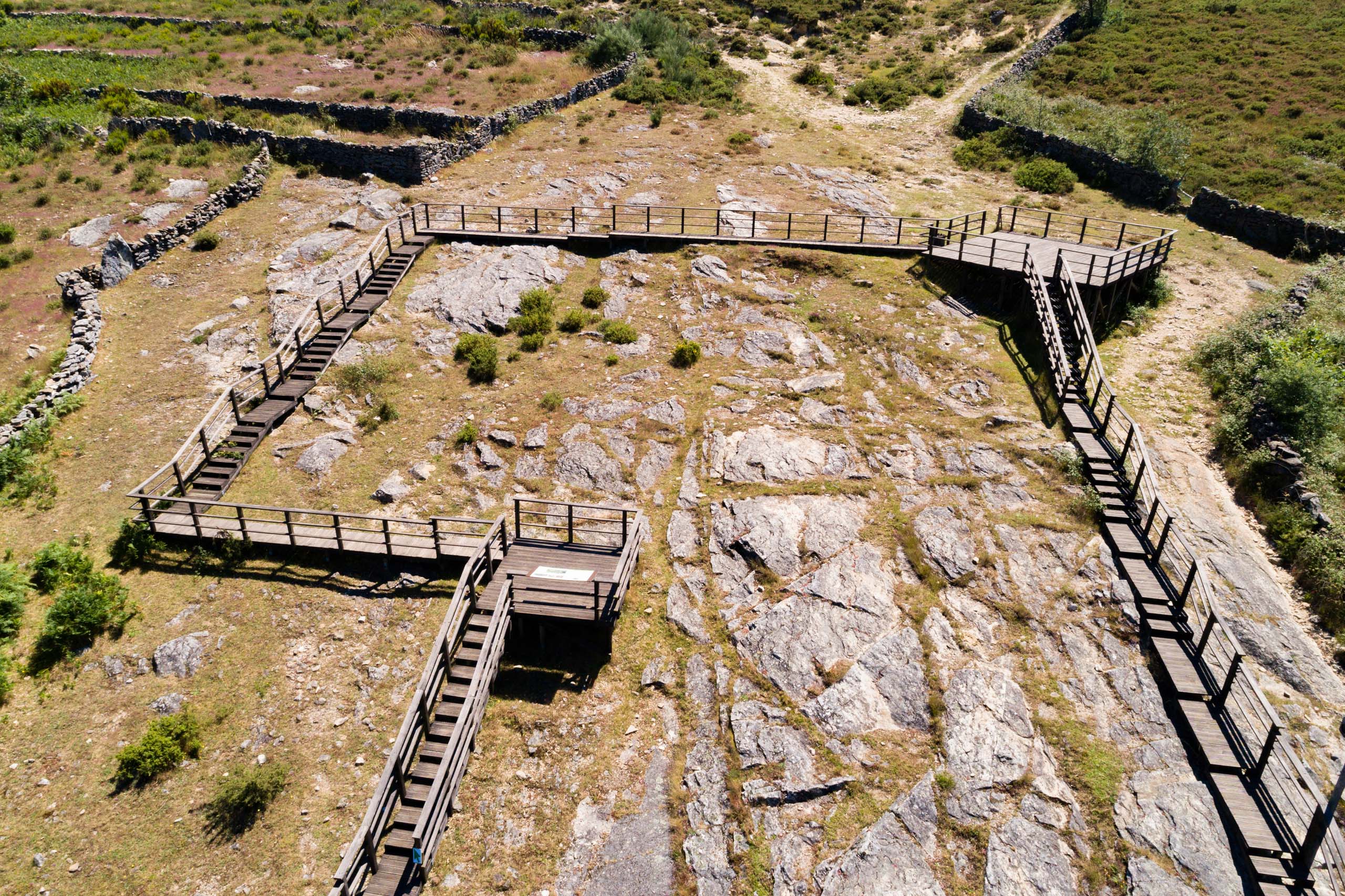
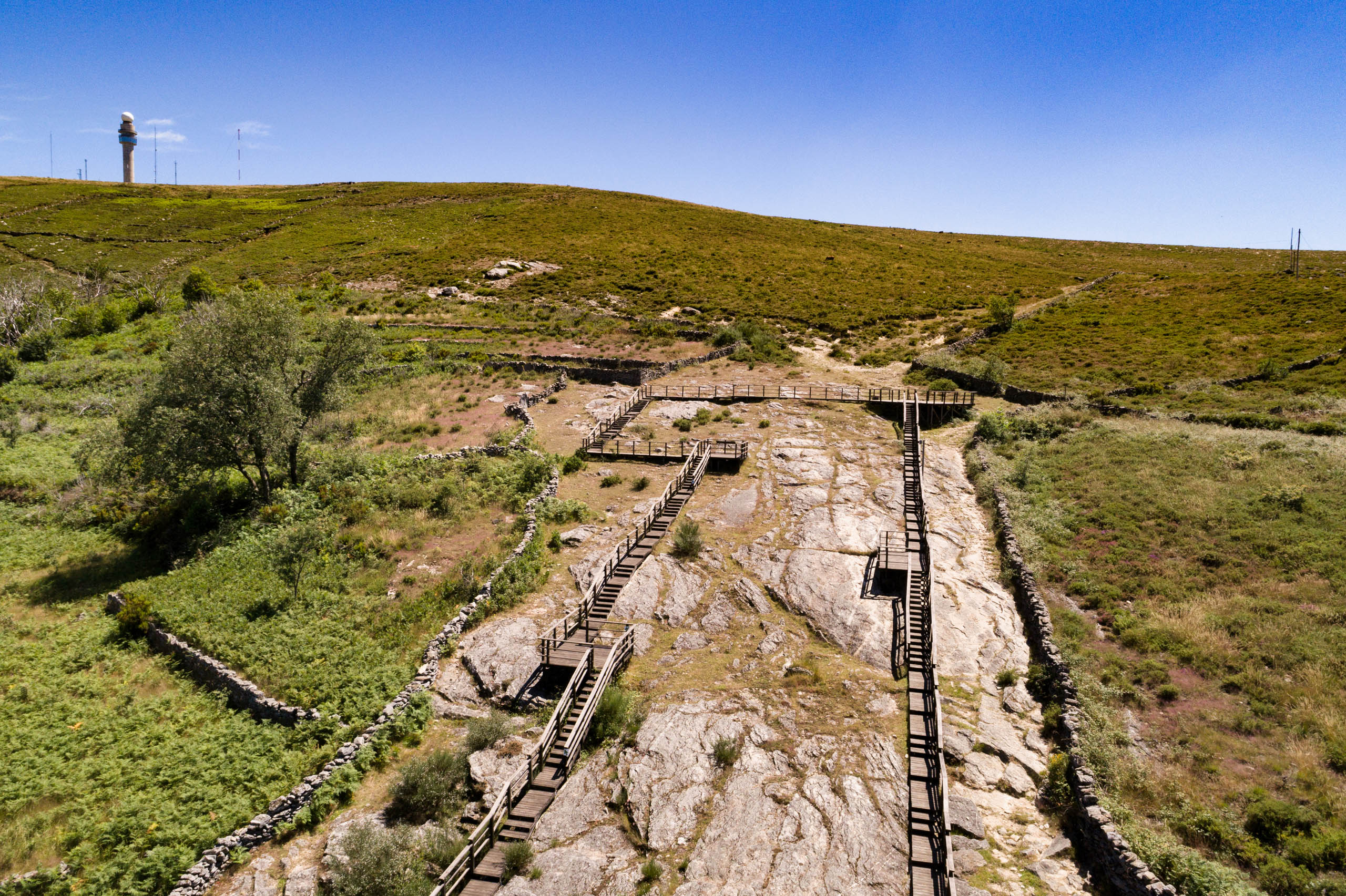
It is in the village of Castanheira we find the enigmatic Pedras Parideiras . A geosite of international importance in the UNESCO Global Arouca Geopark and a Local Natural Monument since 2022, these rocks have aroused the curiosity of passers-by and the inhabitants themselves since time immemorial.
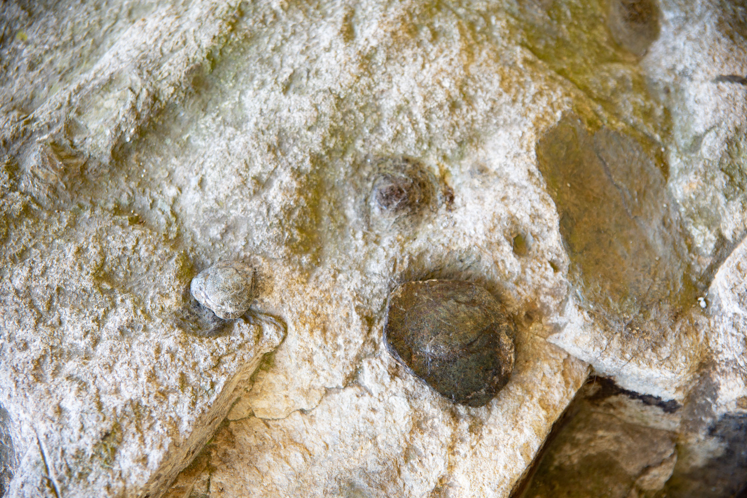
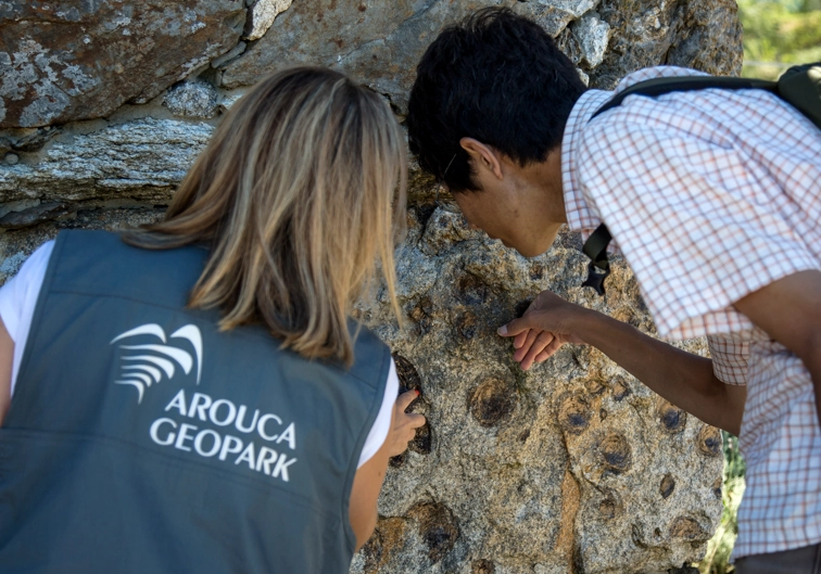
The Pedras Parideiras are actually a granite rock that contains dark-colored nodules. Over time, as a result of the natural wear and erosion of the rocks, the nodules have become detached from the granite rock, which is why the locals gave them their curious name when they found the nodules loose in ancient times, completely unaware of what caused the phenomenon.
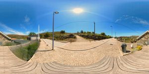
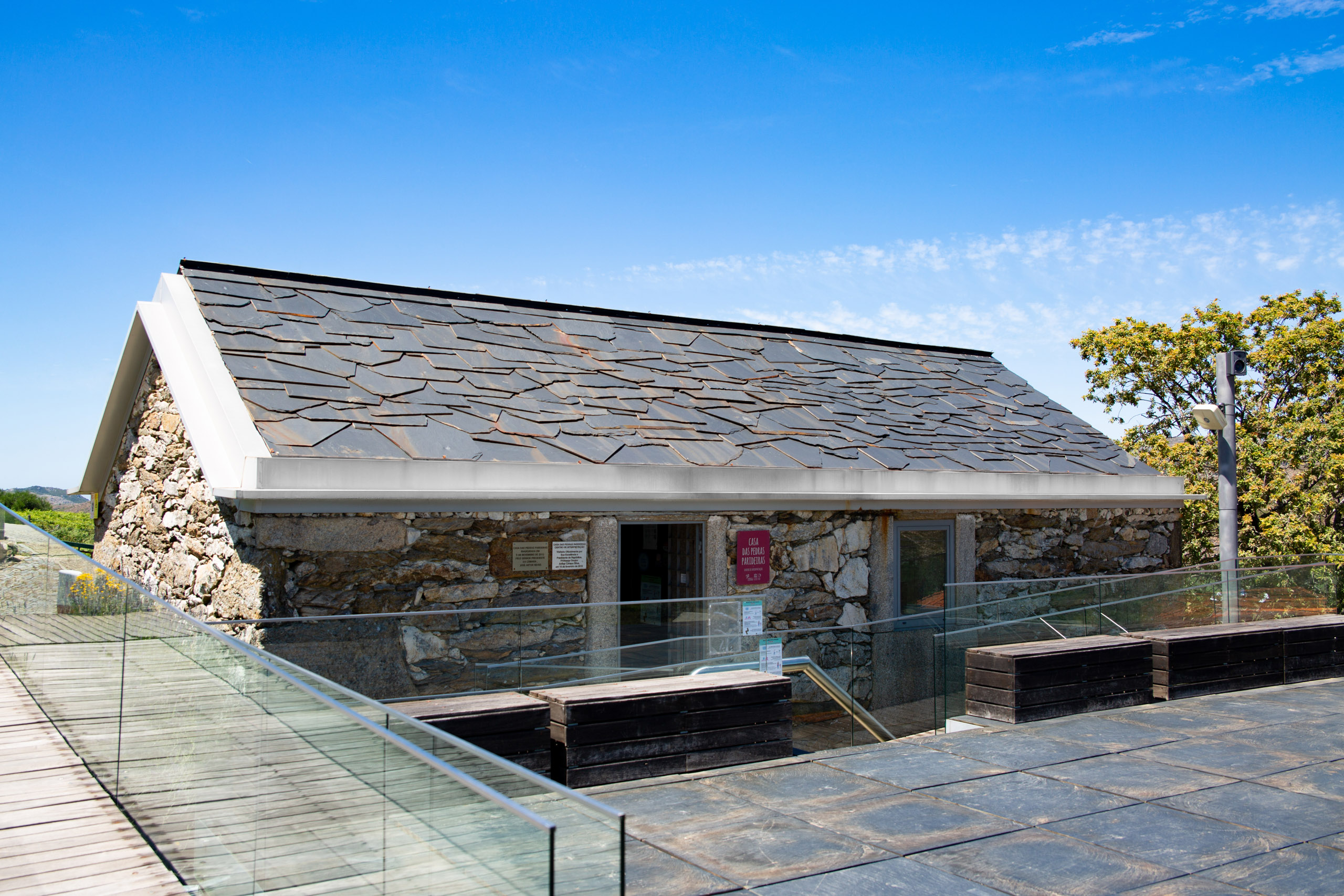
To better understand the geological and cultural particularities of this geosite, we suggest a guided tour of the Casa das Pedras Parideiras – Interpretation Center, which has been open since 2012. You can also visit the village and enjoy the waterfall of Frecha da Mizarela from the village square. And if you want to discover more about the region, venture along the PR15 geotourism trail. This is a short circular route, 17 km long, which will take you deep into the Serra da Freita plateau. You can cross paths with the region’s cattle, of the Arouca breed, or with the herds, accompanied by the affable cattle dogs.
This geosite is a crossing point for the “Ultra Trail Serra da Freita” race and is part of the “Route of Man in the Arouca Geopark” and the Route of Water and Stone in the Montanhas Mágicas.
Geological Information
From a geological point of view, the Pedras Parideiras are called Castanheira Nodular Granite. The outcrop occupies an area of 1km2, covering the village of Castanheira. The granite rock is light-colored and medium-grained, with two micas and an unusual number of biotite nodules (a black mineral), discoid and biconvex in shape, ranging from 1 to 12 centimetres in diameter. The most recent dating of this rock points to an age of between 320 and 310 million years.
Interests
Use
Relevance
Coordinates Pedras Parideiras
Photos and Videos Gallery
Pedras Parideiras
Pedras Parideiras (afloramento exterior)
Pedras Parideiras (afloramento exterior)
Casa das Pedras Parideiras
Pedras Parideiras
Experience 360º

360 Pedras Parideiras