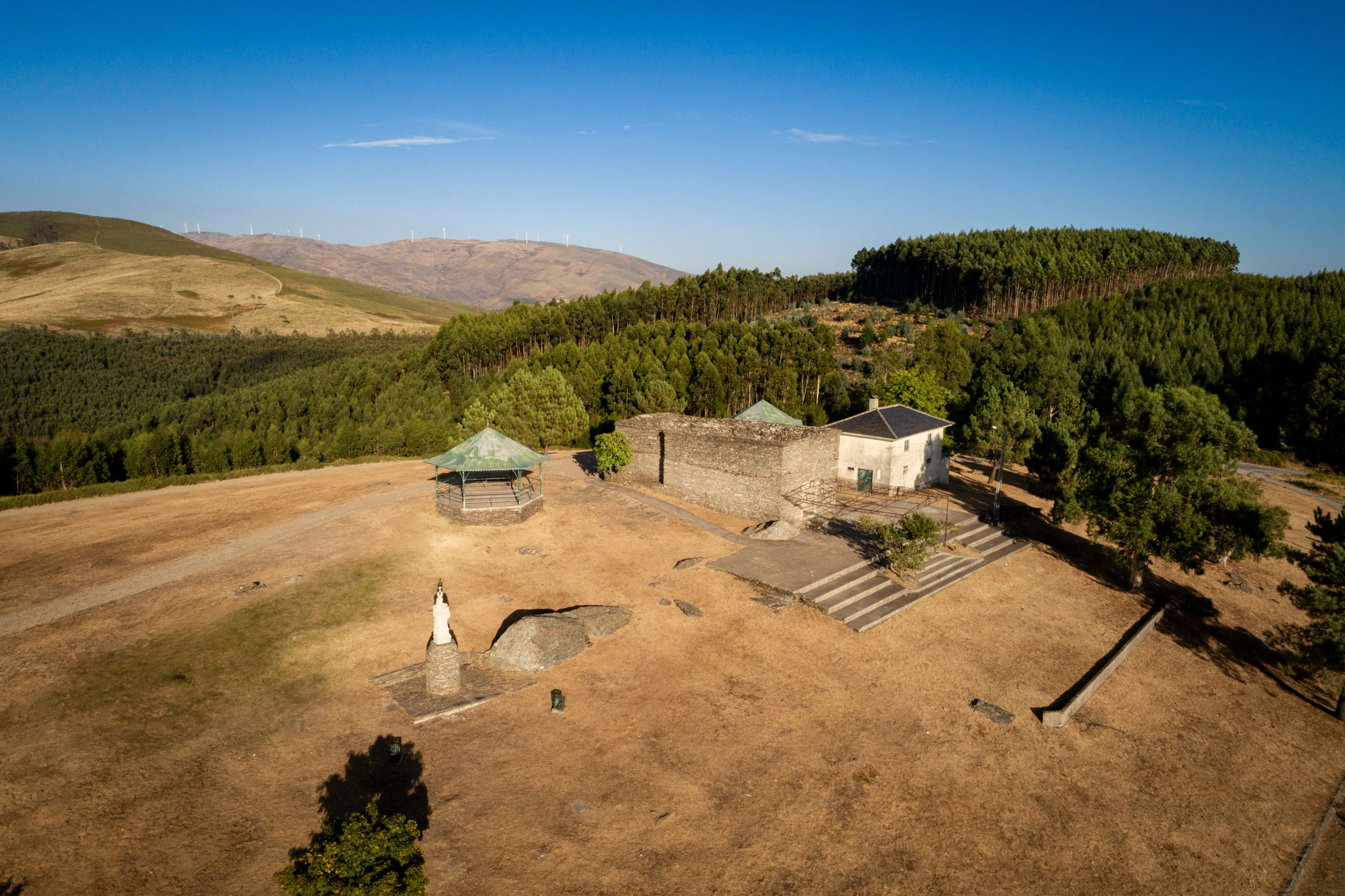
Along these paths, you’ll pass the highest point in the entire Arouca Geopark territory – the Pedra Posta Geodesic Landmark. The landscapes are breathtaking from start to finish. The Montemuro mountain range seems to be just around the corner, the villages we pass through (which are still alive) and the view over the parish of Alvarenga, from the Senhora do Monte Sanctuary (the place of departure and arrival), are just a few (good) reasons to set off.
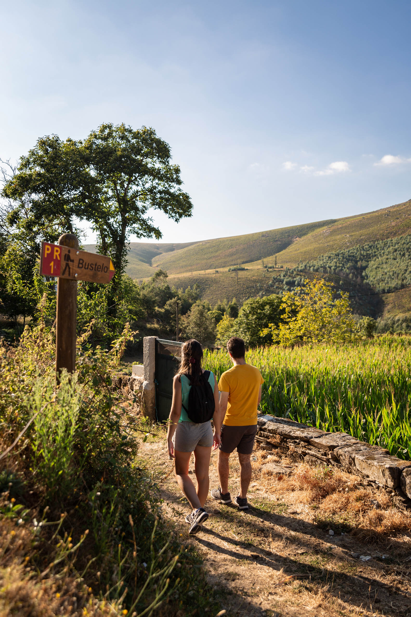
Other points of interest: Senhora do Monte and S. Pedro do Campo Sanctuaries; Bustelo and Noninha Villages.
Recommended Season
All year round, bear in mind that in winter Serra Montemuro is subject to low temperatures with snowfall and ice formation.Senhora do Monte (Alvarenga)
Maximum Height 1222m
Minimum Height 829m
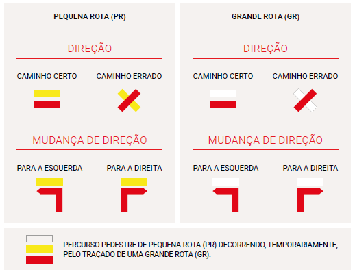
The pedestrian routes of the great route (GR) and the small route (PR) are marked, in both directions, according to the rules of the Portuguese Camping and Mountaineering Federation. The white and red marks signal a great route and the yellow and red marks, a small route.
Photos and Videos Gallery
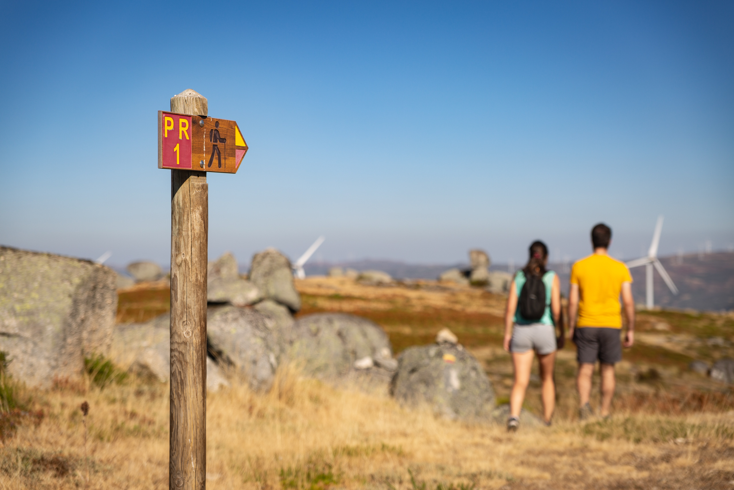
Caminhos de Montemuro
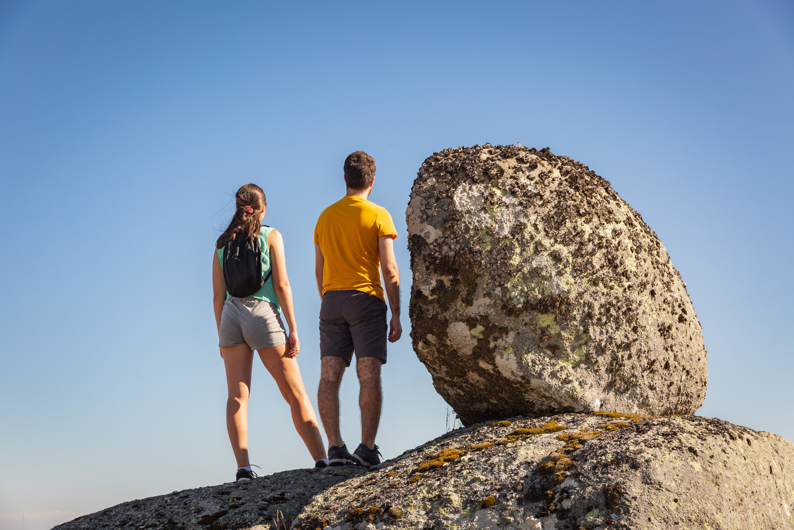
Caminhos de Montemuro
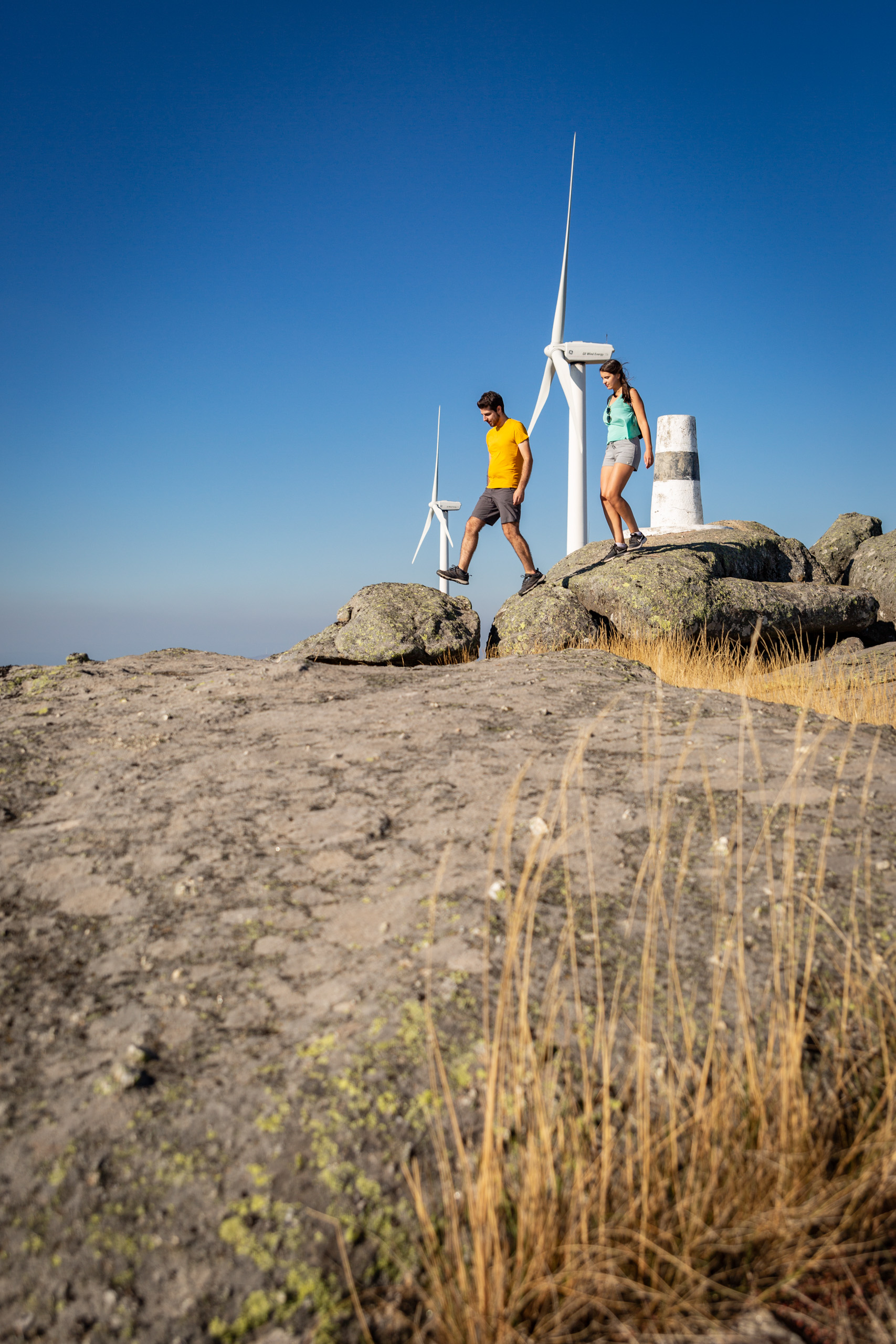
Caminhos de Montemuro
Noninha
Senhora do Monte