Get to know the
Serra da Freita
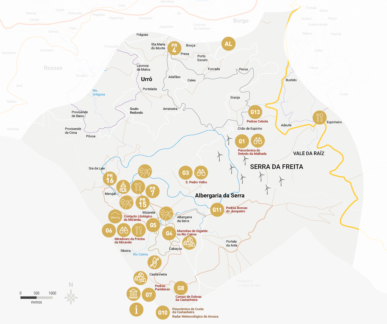
Pedras Parideiras and the Weather Radar are located on the plateau of Serra da Freita, a region that in spring is painted in shades of yellow and lilac from the carqueja, gorse and/or heather flowers. The villages, traditionally built of granite and schist, dot the landscape of this area, which has been inhabited since prehistoric times, as evidenced by the archaeological monuments of Portela da Anta and Mamoas de Monte Calvo.
Climb up to the Arouca Weather Radar and be amazed by the landscape, discover the Pedras Parideiras, be enchanted by the Frecha da Mizarela waterfall, head to the Pedras Boroas do Junqueiro and connect with nature. And at Detrelo da Malhada you can see the northern slope of the Serra, the Arouca valley or the sea. These are just some of the geosites that make up route A of the Arouca Geopark Geosites Route, which will take you to discover “Freita: a Serra Encantada”. You can also get to know the region via audio guides, geobikes, the PR4, PR7, PR15, PR16 and GR28 walking routes or the GR60 or Water and Stone Route of the Montanhas Mágicas.
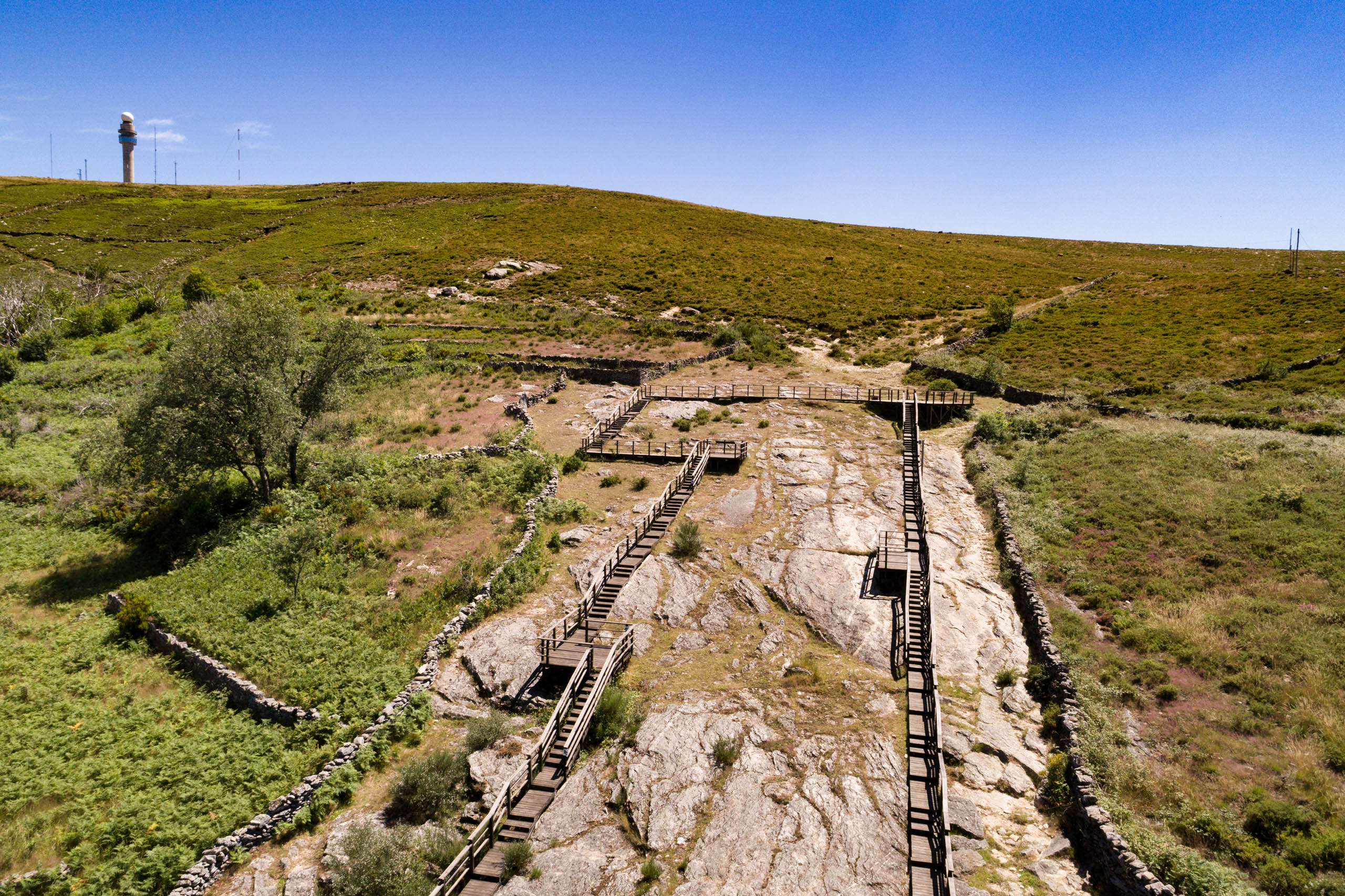
Pedras Parideiras
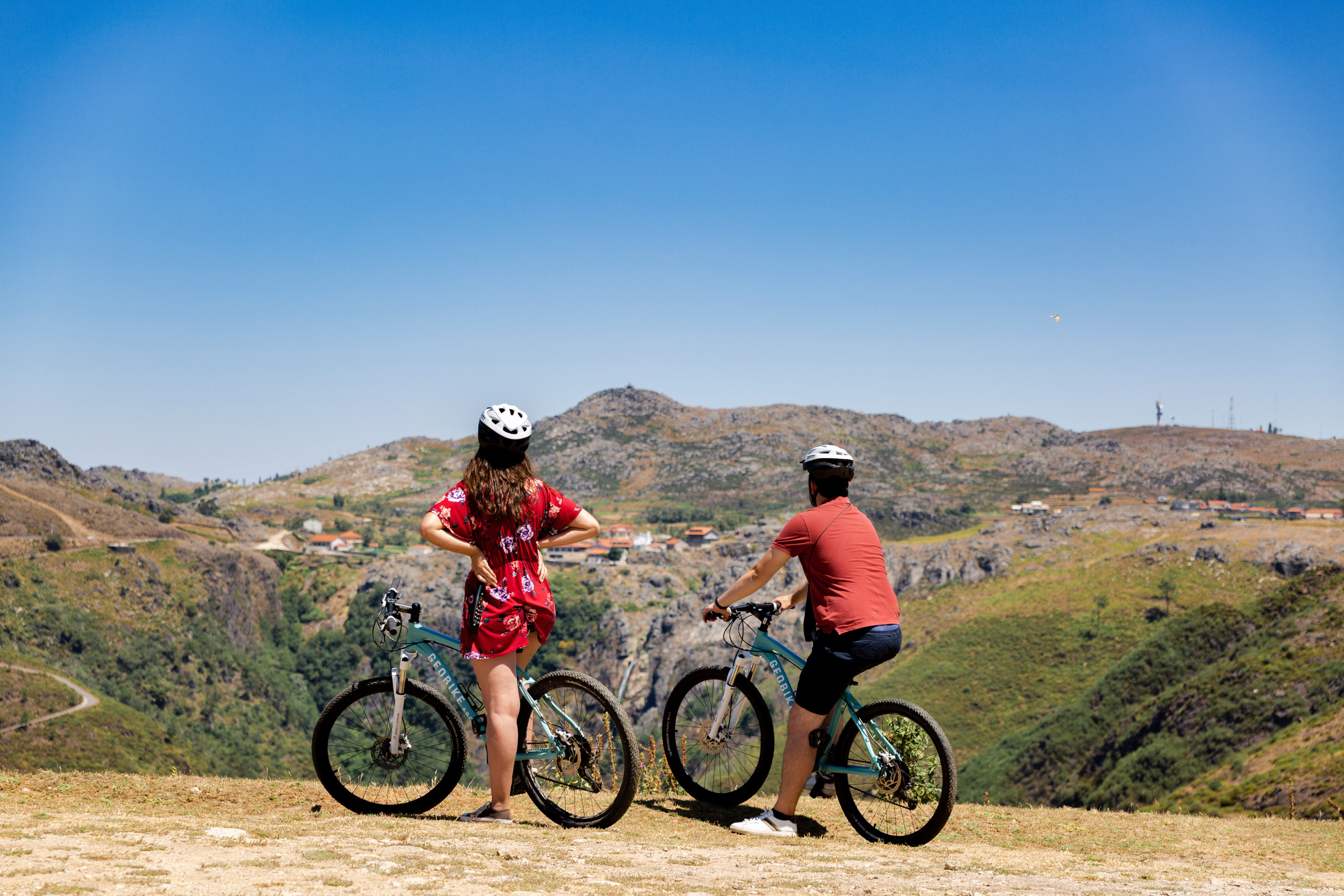
Geobike
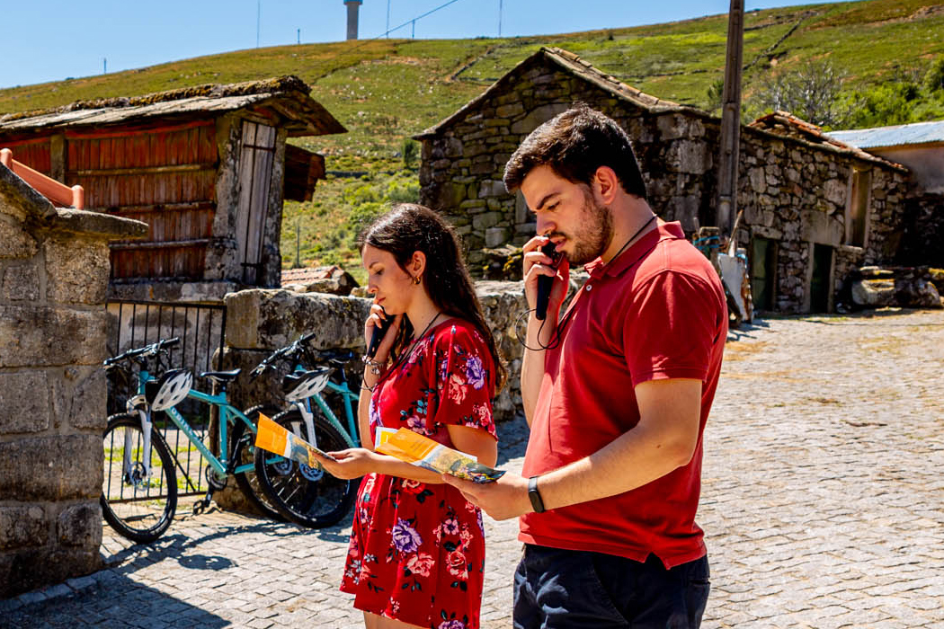
Audioguias
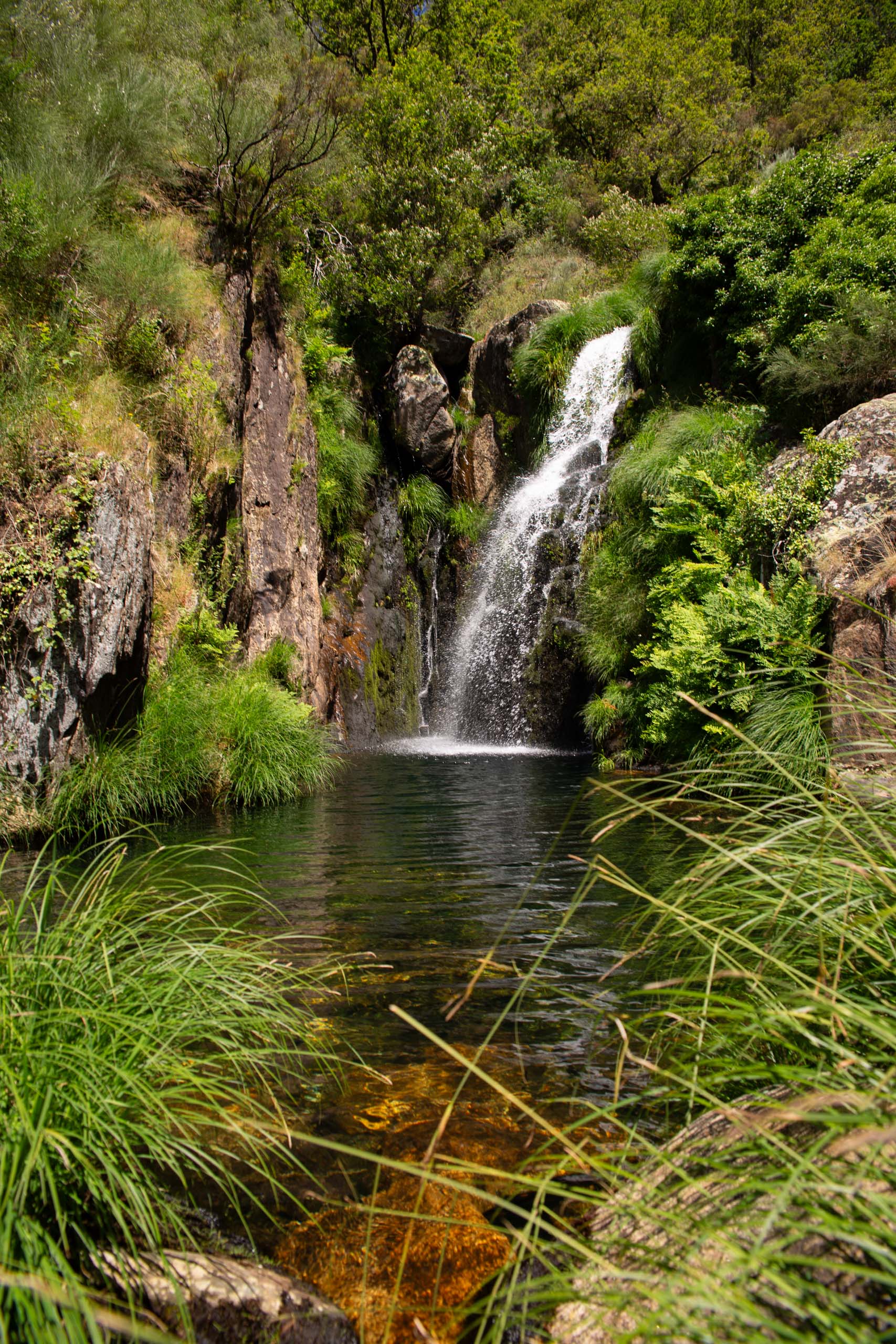
Frecha da Mizarela
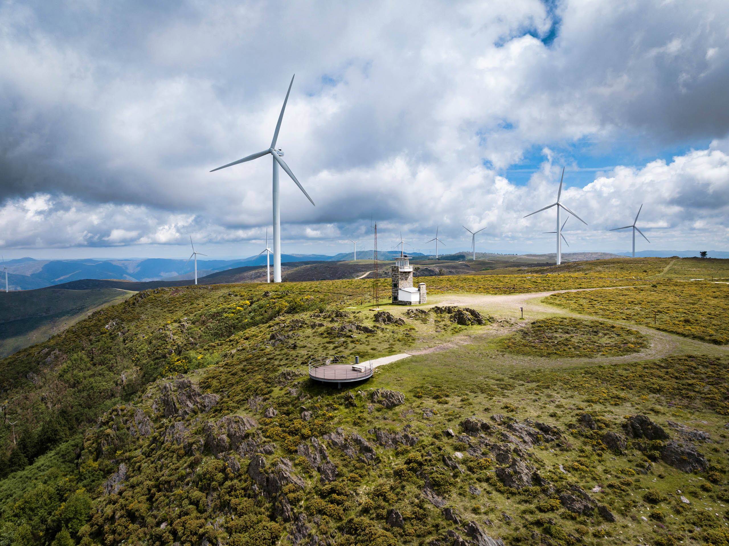
Detrelo da Malhada
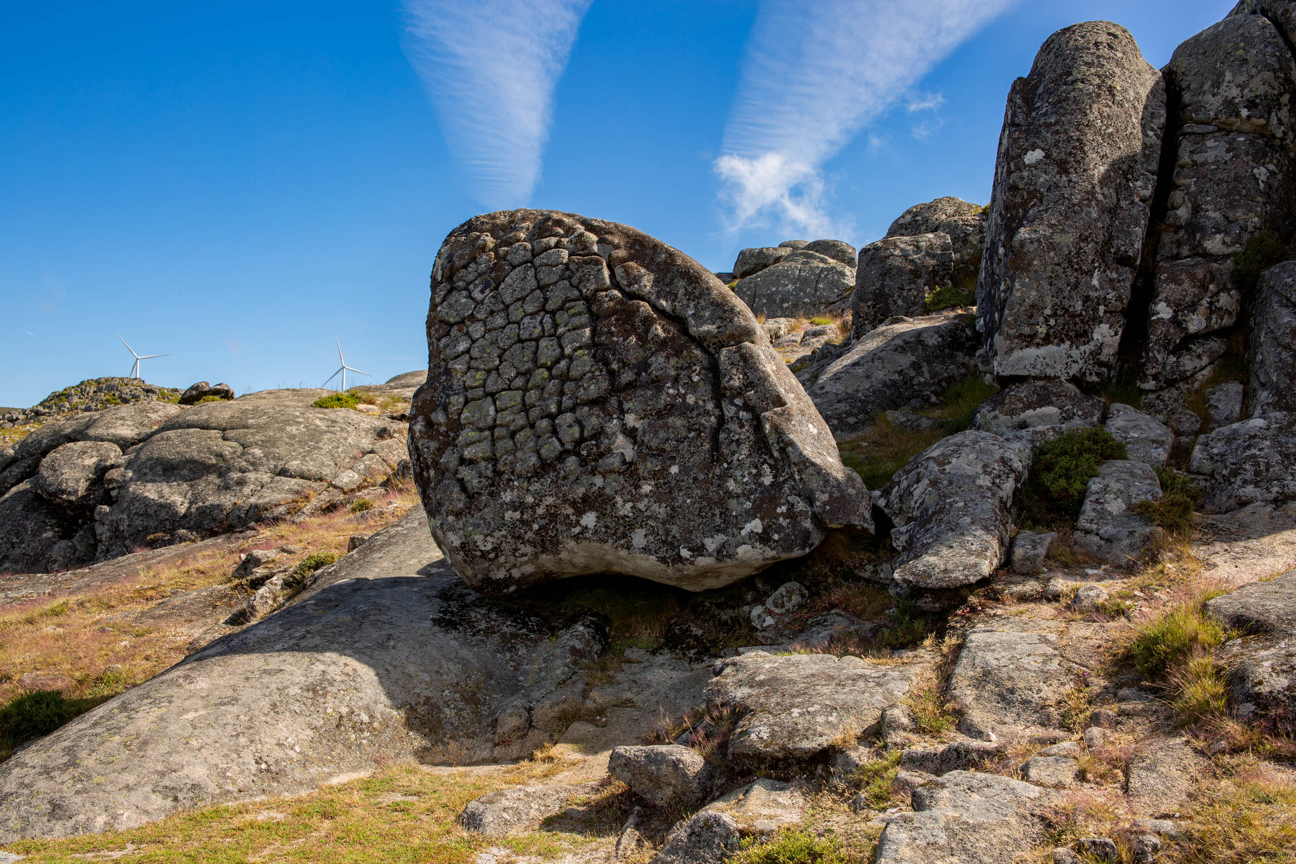
Pedras Boroas do Junqueiro
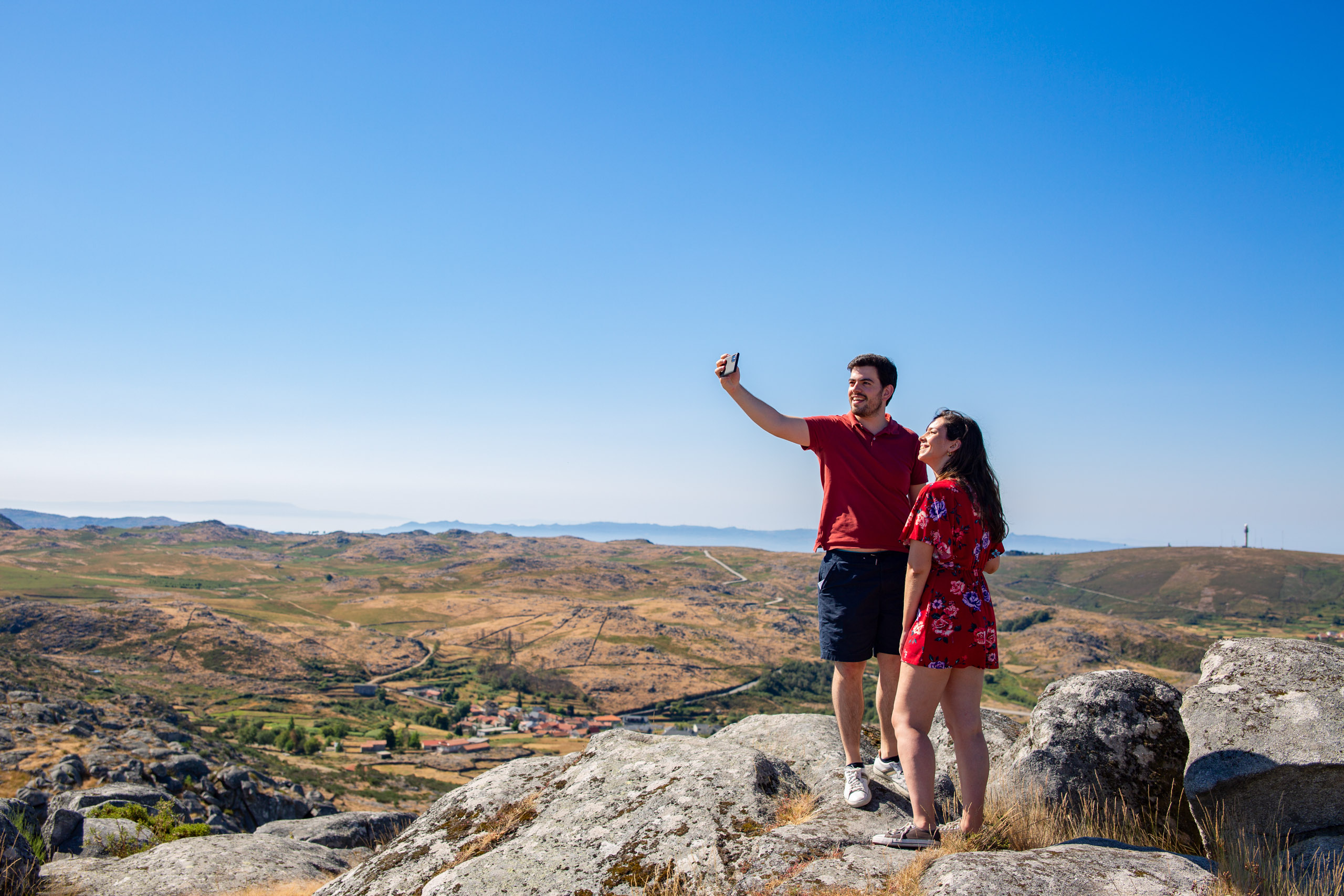
São Pedro Velho

Pedras Parideiras

Geobike

Audioguias

Frecha da Mizarela

Detrelo da Malhada

Pedras Boroas do Junqueiro

