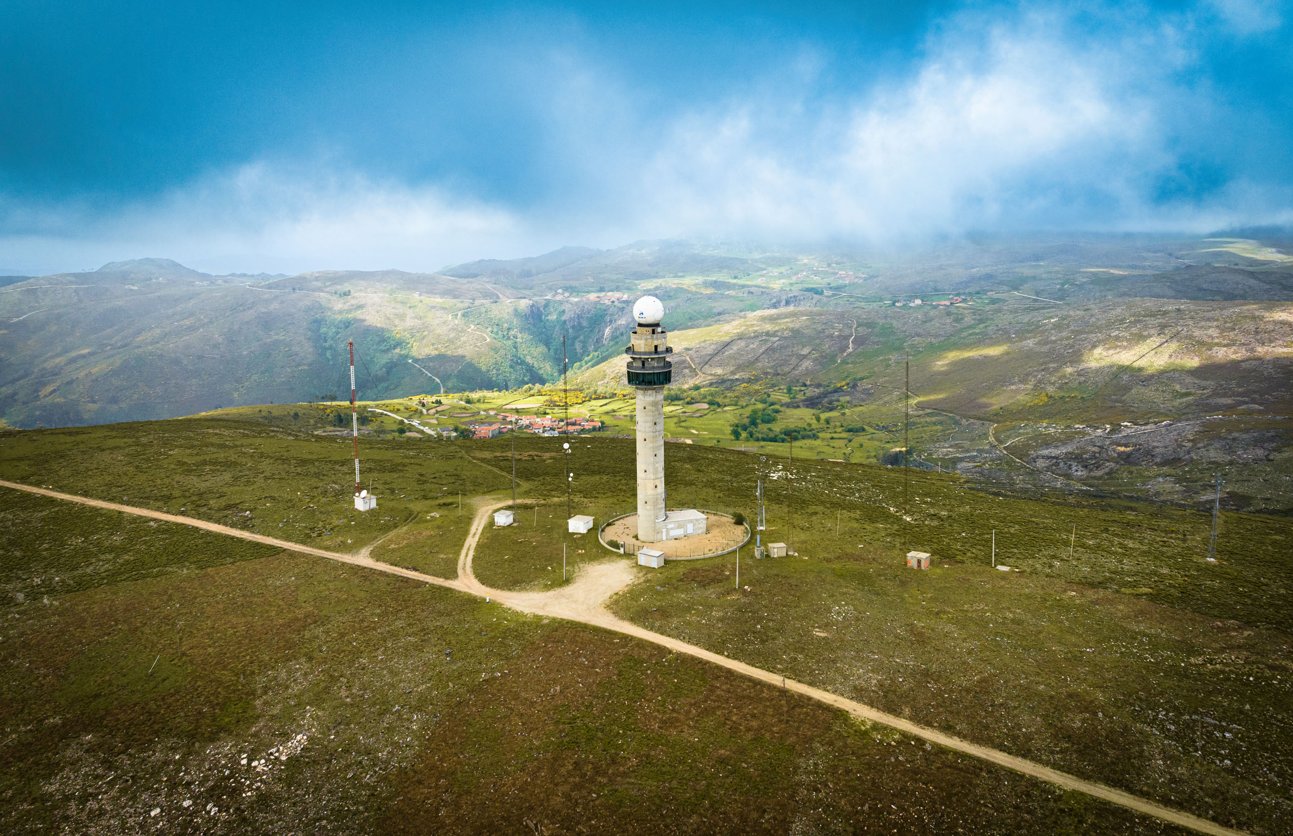
Guided tour of the Arouca Weather Radar
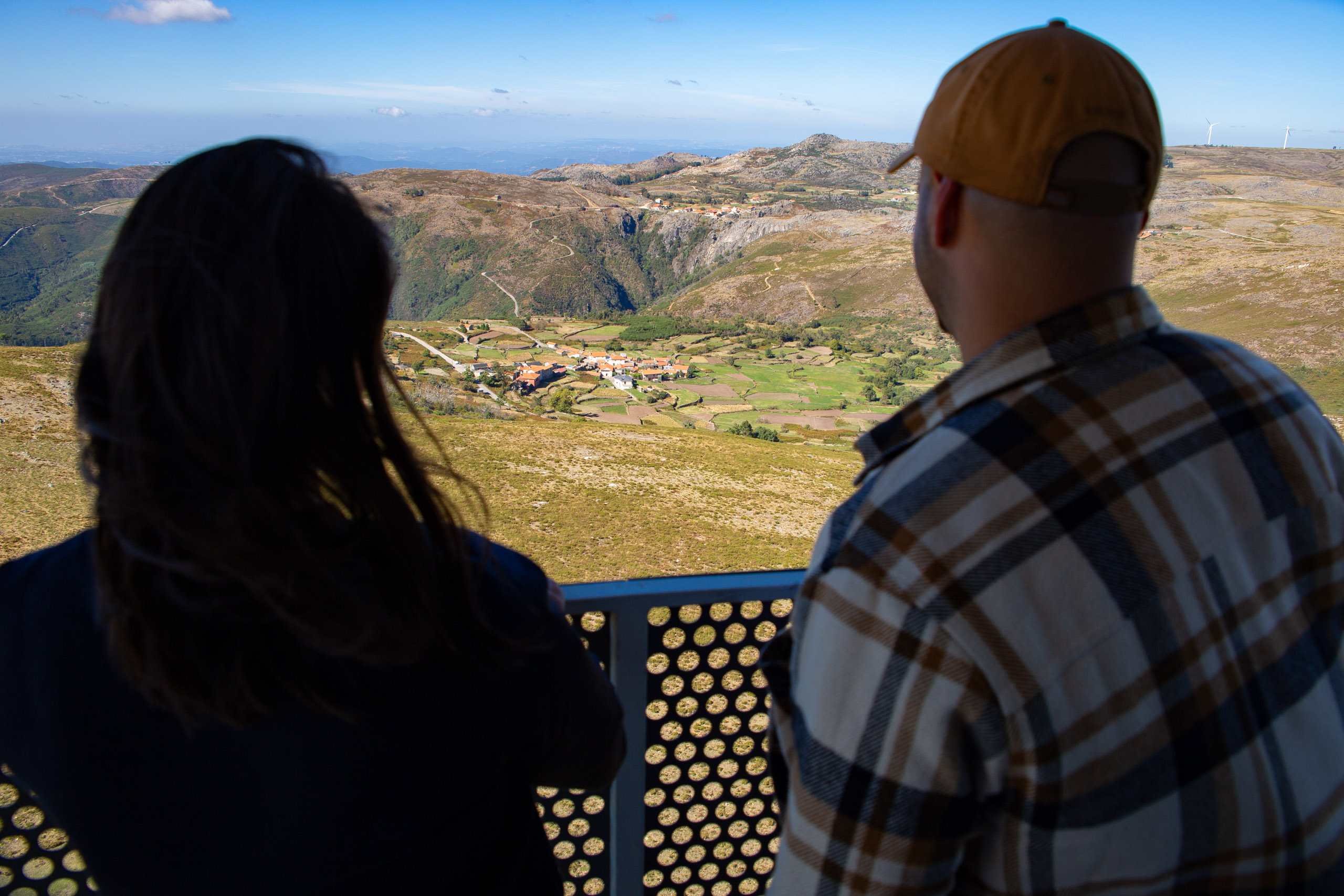
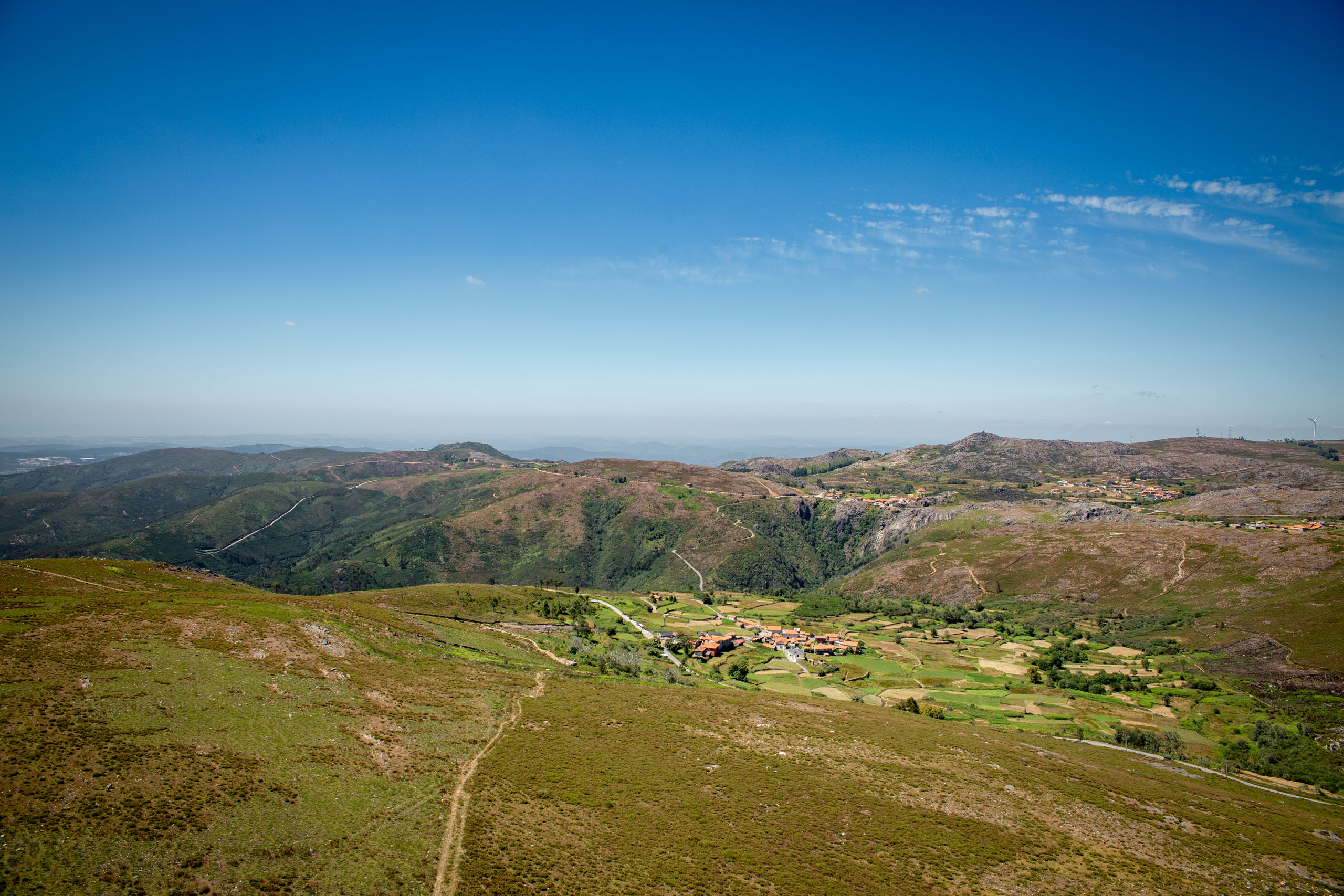
The Arouca Meteorological Radar – Panorâmica da Costa da Castanheira geosite (G10) shows different forms of relief: the Serra da Freita plateau, the Caima river valley and the Fecha da Mizarela waterfall, various mountains in Portugal and the Atlantic Ocean. Visits to this infrastructure include an analysis of the landforms and a technical overview of this IPMA infrastructure in the field of weather forecasting and monitoring, especially in the detection and monitoring of adverse weather phenomena that could lead to natural disasters. Visits to the radar take place in groups of 30 people, last 30 minutes and cost €3/person.
Sustainable Development Goals:


Photos and Videos Gallery