Geopark Digital What stories do the rocks of the Magic Mountains tell us?
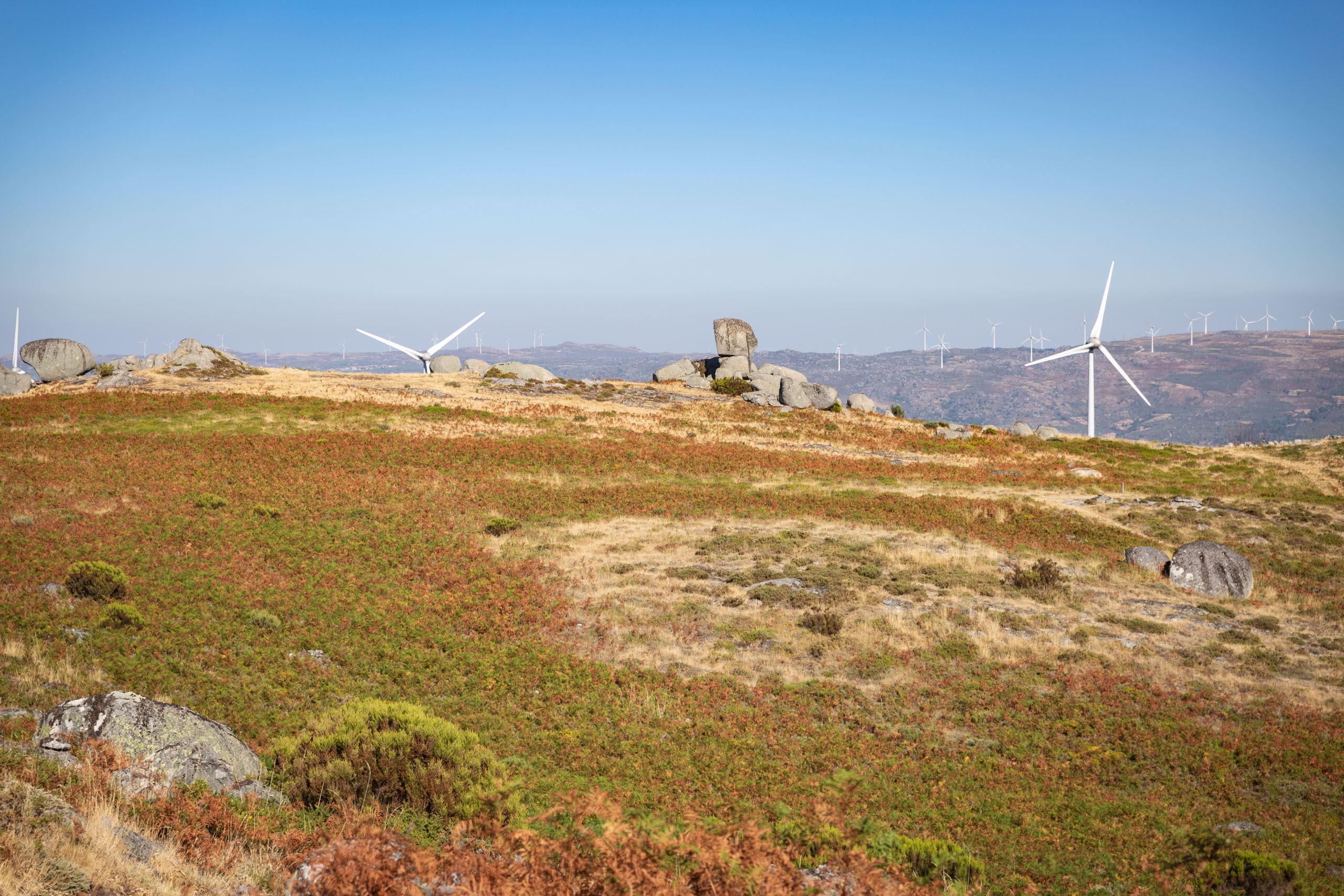
The highest points in the Arouca Geopark are the Pedra Posta Geodesic Landmark (1222 m), located in the Serra de Montemuro; the Malhada Detrelo (1099 m), the S. Pedro Velho Geodesic Landmark (1077 m) and the Castanheira Coast Panoramic from the Arouca Weather Radar (1046 m), in the Serra da Freita; and the Portal do Inferno (940 m), in the Serra da Arada. From these geosites it is possible to see, among other things, the contours of the so-called Montanhas Mágicas®, an area covered by the municipalities of Arouca, Castelo de Paiva, Castro Daire, Cinfães, São Pedro do Sul, Sever do Vouga and Vale de Cambra, and which is the responsibility of ADRIMAG – Associação de Desenvolvimento Rural Integrado das Serras do Montemuro, Arada e Gralheira.
The relief of the Montanhas Mágicas® is marked by two major structures: the Gralheira Massif, which includes the Freita, Arada and Arestal mountains, and the Montemuro Massif, dominated by the Montemuro mountain range. “When we enjoy the landscapes of a mountain range or walk along its paths, there are questions that we often ask ourselves, such as “How was this mountain formed?”, “How did these rocks get here?” or “What will this landscape and this mountain be like in a long time?”. In the Montanhas Mágicas area, where the Arouca Geopark is located, it all began around 560 million years ago, in a story told in the first edition of “MAGazine Montemuro, Arada e Gralheira” (pages 20 to 23) by the Scientific Coordinator of AGA – Associação Geoparque Arouca, Artur Abreu Sá.
Suggestions for exploring the theme:– Article “What stories do the rocks of the Montemuro, Arada and Gralheira mountains tell us?” in MAGazine Montemuro, Arada and Gralheira” Nº1 : download the pdf resources available;
Suggestions to Explore the Theme
Photos and Videos Gallery
Pedra Posta