Geosite 6 Frecha da Mizarela
The highest and one of the most beautiful waterfalls in mainland Portugal,
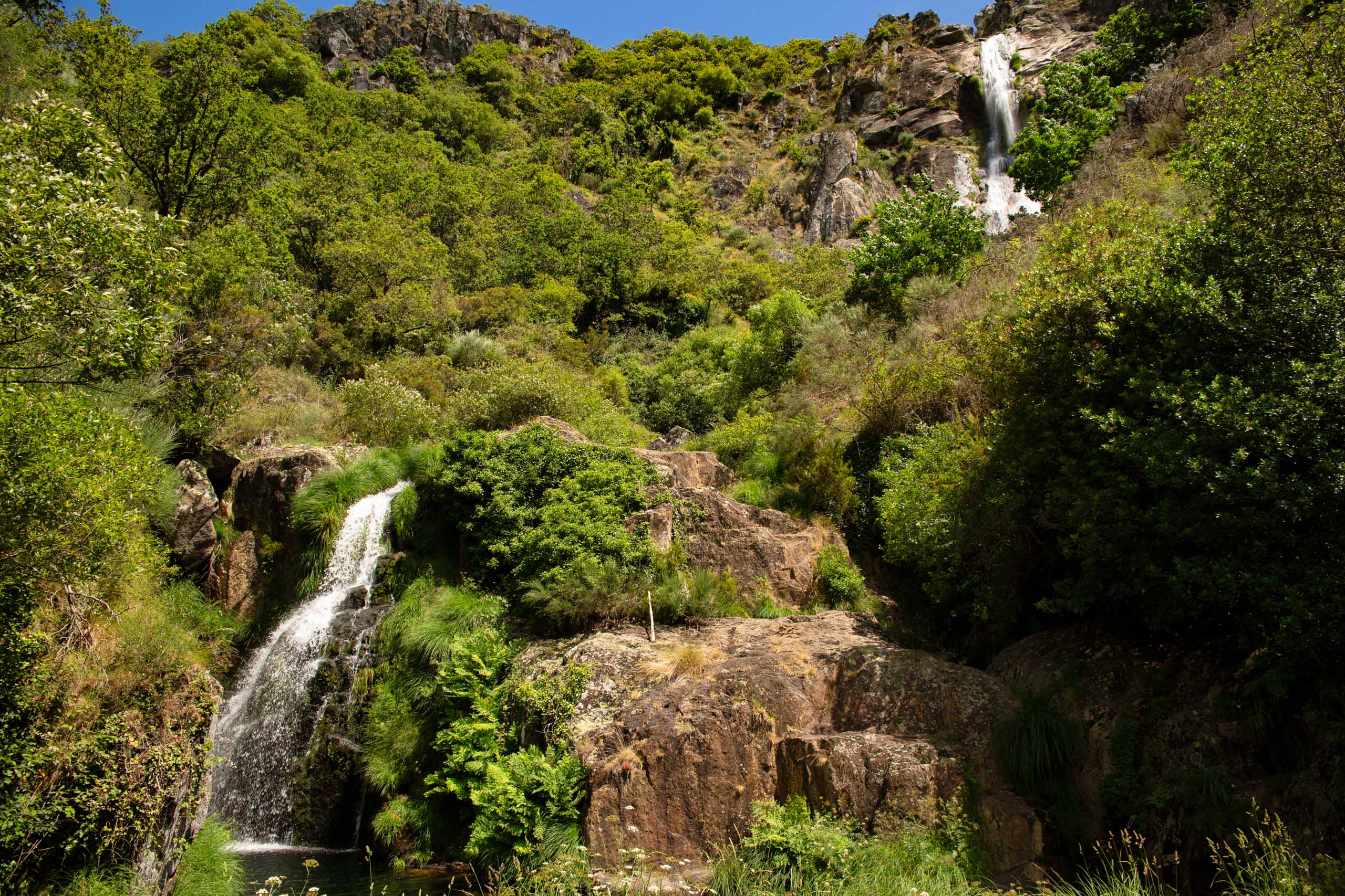
The Frecha da Mizarela waterfall surprises us at first sight. Here the Caima River takes on all its splendor, crashing down from a height of over 60 meters. It can be seen from the viewpoint near the village of Mizarela, from the village of Castanheira or along the trails of the PR7 Short Route geotourism trail, entitled “Nas escarpas da Mizarela“. The steep slopes surrounding the waterfall are lush green, with relics of the primitive vegetation of the Serra da Freita. At the base of the Frecha, therhododendron (Rhododendron ponticum subsp. Baeticum) persists from the Laurissilva and on the escarpments you can see trees representative of the Fagossilva, with emphasis on the oak-alvarinho(Quercus robur) and the oak-negral(Quercus pyrenaica), among other rare and protected species.
It is the geology, through the weathering and erosion of the rocks that outcrop in the region (schist and granite), that explains the formation of this waterfall, which is popular with canyoning and classic climbing enthusiasts. This geosite, of national importance, is part of the “Freita, a Serra Encantada” itinerary on the Arouca Geopark Geosites Route. This place and the landscape of the Serra da Freita also inspired the writer Abel Botelho, who dedicated a short story to Frecha da Mizarela in his book “Mulheres da Beira” (Women of Beira), later adapted for the cinema by the director Rino Lupo.
The site is the stage for the PR7 and PR15 short-route geotourism trails and also the setting for the «Maratona Filhos da Freita» and «Ultra Trail da Serra da Freita» trail races.
Geological Information
Geology explains how this waterfall, classified as a geosite of national importance, was formed. In Serra da Freita, the Granite of Serra da Freira and schists (ante-Ordovician metasediments) are in contact, in a strip that we can see between the Mizarela Lithological Contact geosite and the Cabaços climbing wall. Since schist is less resistant than granite, the river Caima, through weathering and erosion, carved a deep valley in the schist rock, creating a drop of more than 60 m, which causes its waters to crash down and create the sumptuous waterfall. In addition, it is believed that the faults in the Serra da Freita also contributed to its existence.
Interests
Use
Relevance
Coordinates Frecha da Mizarela
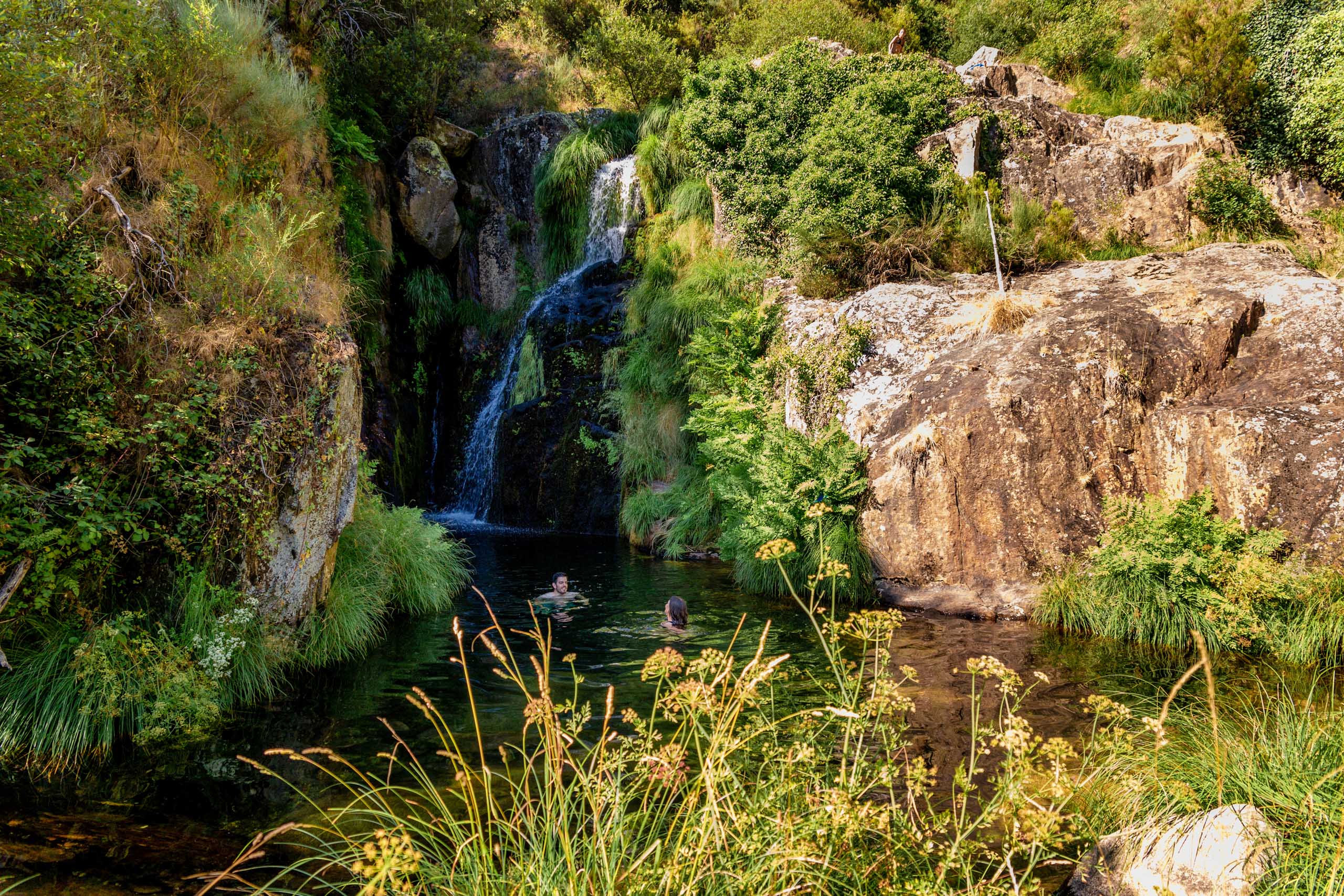
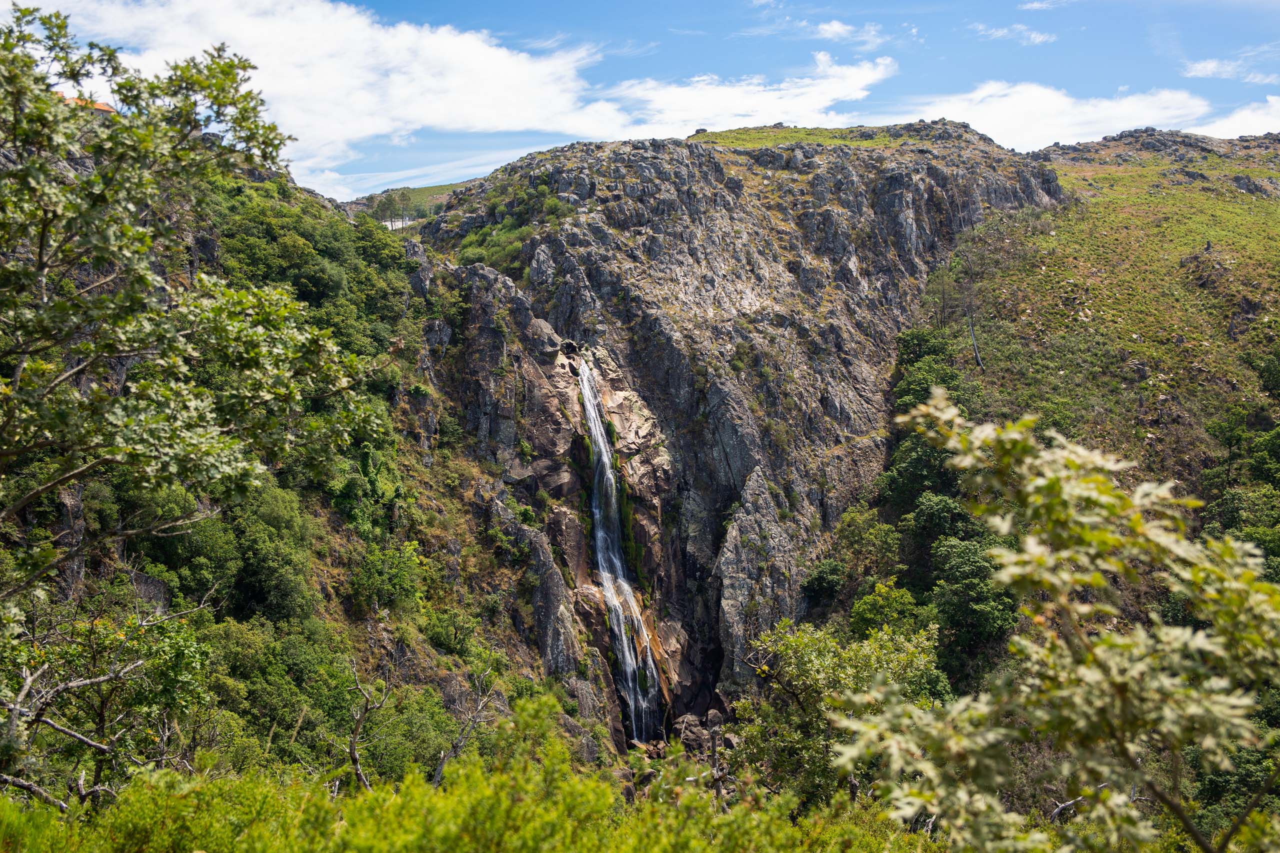
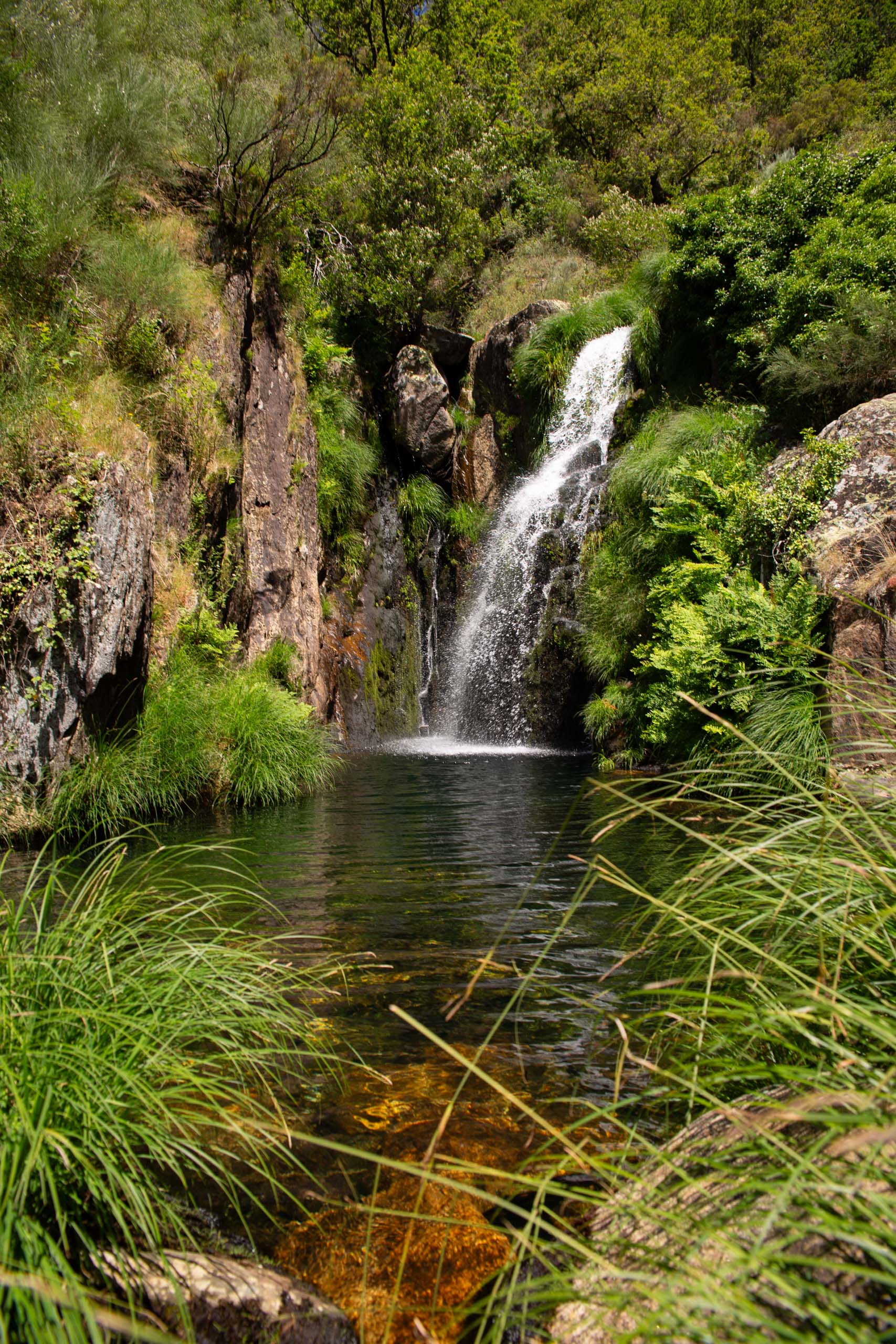
Photos and Videos Gallery
Frecha da Mizarela
Frecha da Mizarela

Frecha da Mizarela
Frecha da Mizarela
Frecha da Mizarela
Experience 360º


Frecha da Mizarela