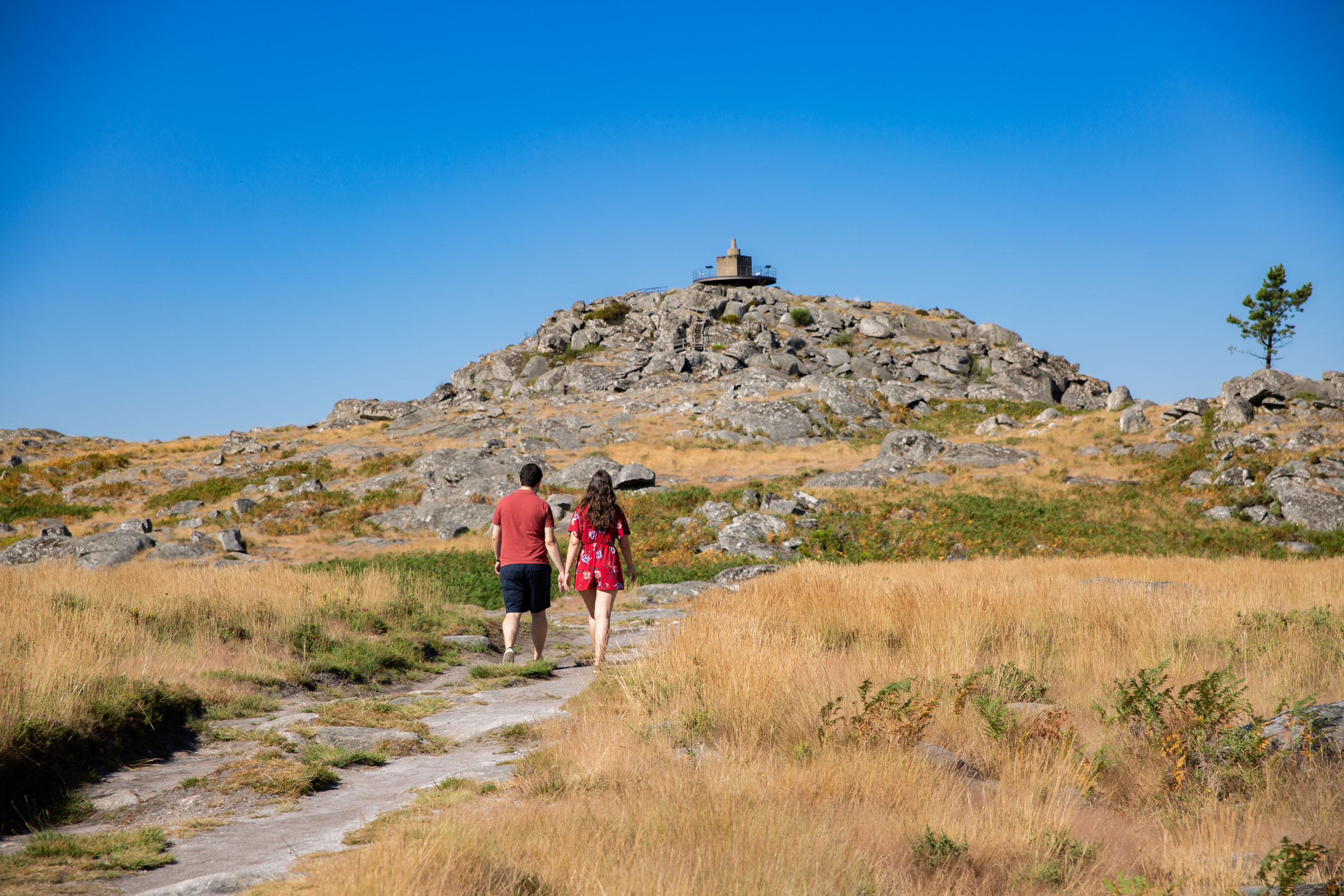
Geosite 3 S. Pedro Velho
To infinity!
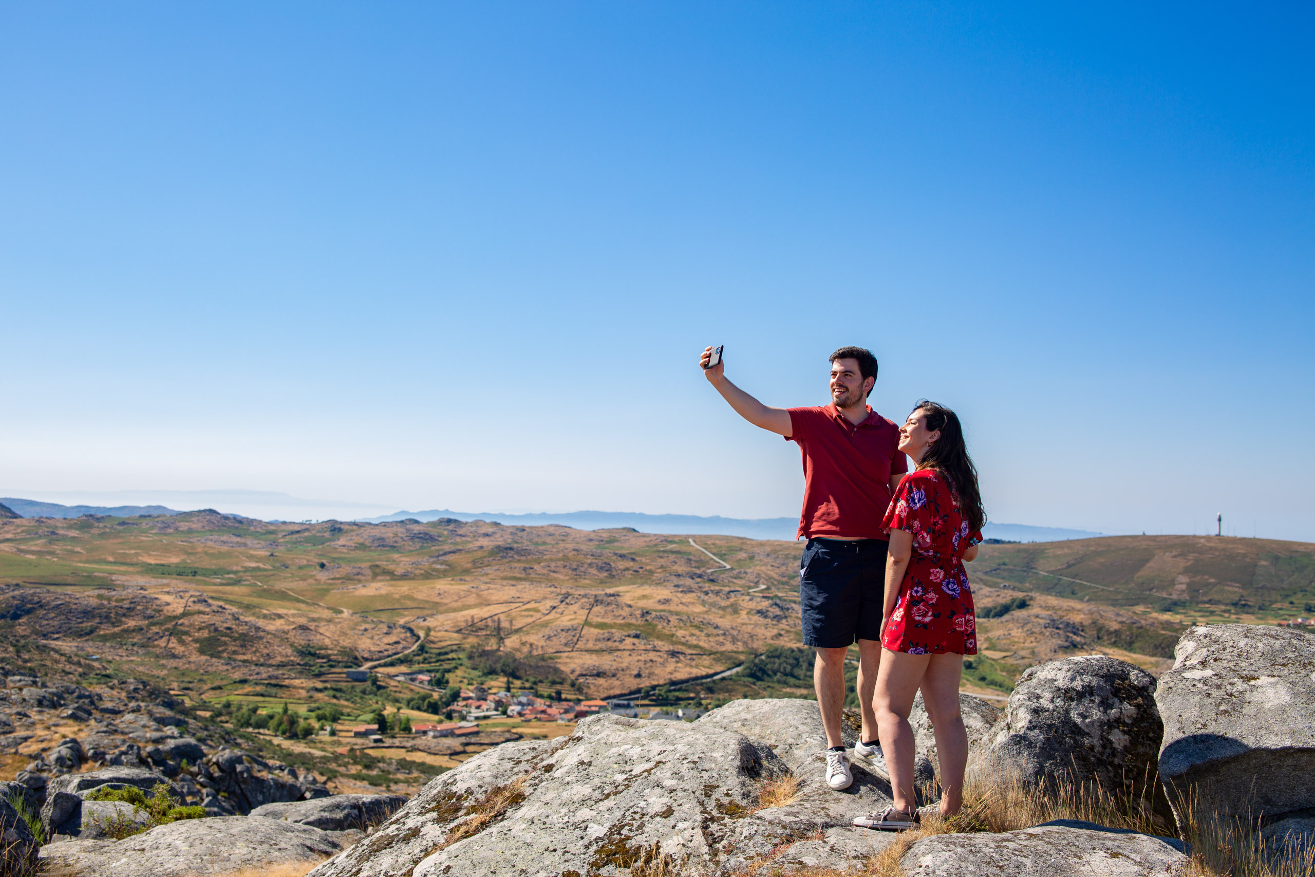
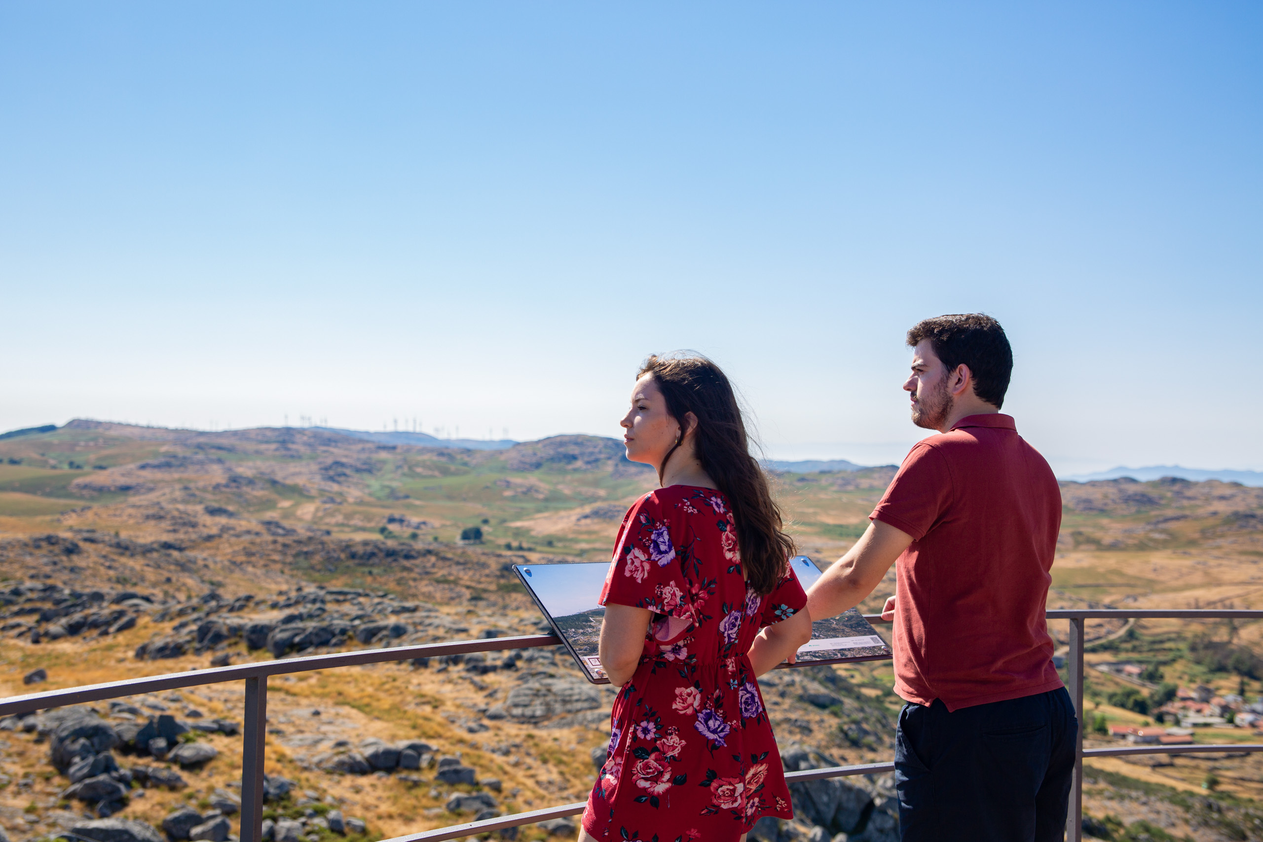
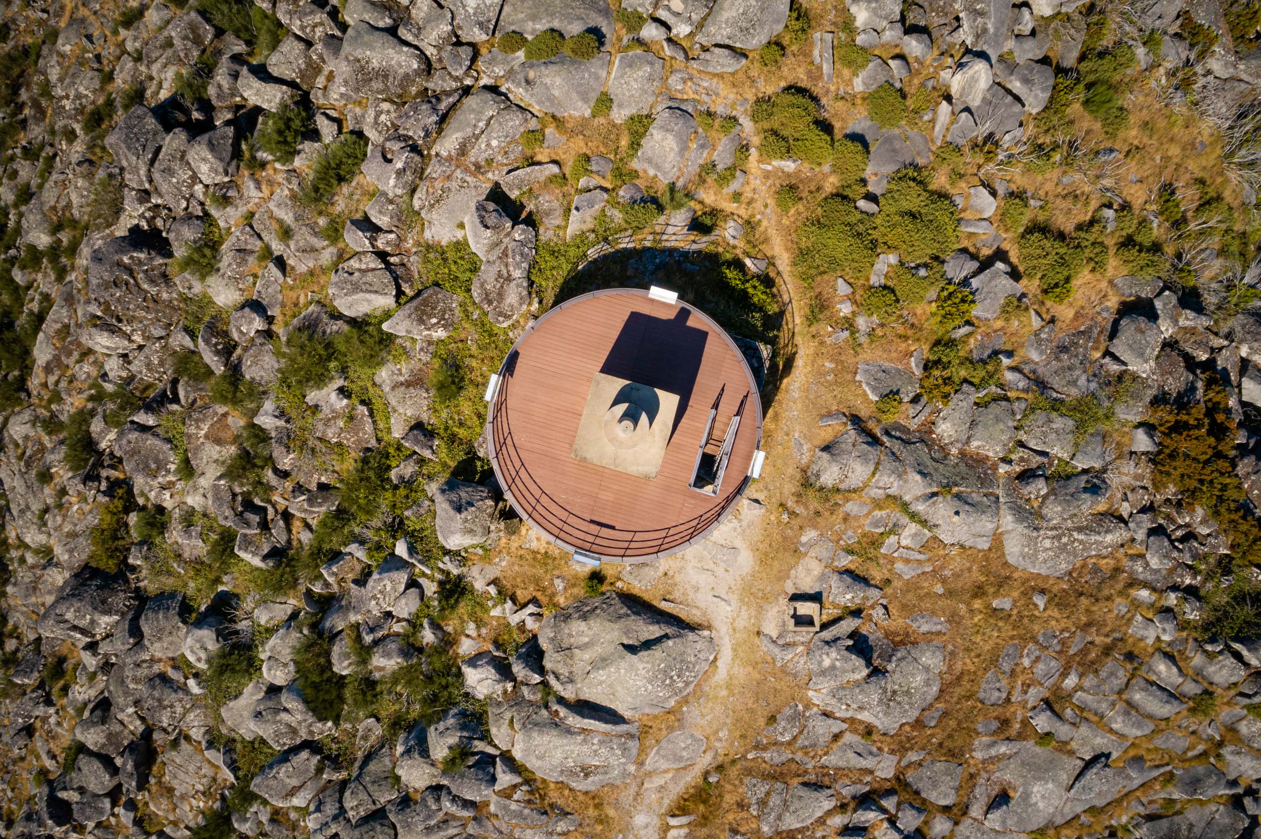
It’s at an altitude of 1077 meters, one of the highest points in the Serra da Freita From this geosite, on clear days, and with the help of four interpretive panels facing the four cardinal points, we can see an immense landscape. To the north, we can see the Arouca and Paiva valleys, the Montemuro mountain range, the Douro valley and the other mountain ranges to the north of the river. To the east, the neighboring Serra da Arada stands out. To the south, the Vouga valley, the Serra do Caramulo, the Mondego valley and the Serra da Estrela stand out. To the west lies the Atlantic Ocean and the arms of the Ria de Aveiro, which invite you to enjoy the sunset from this point.
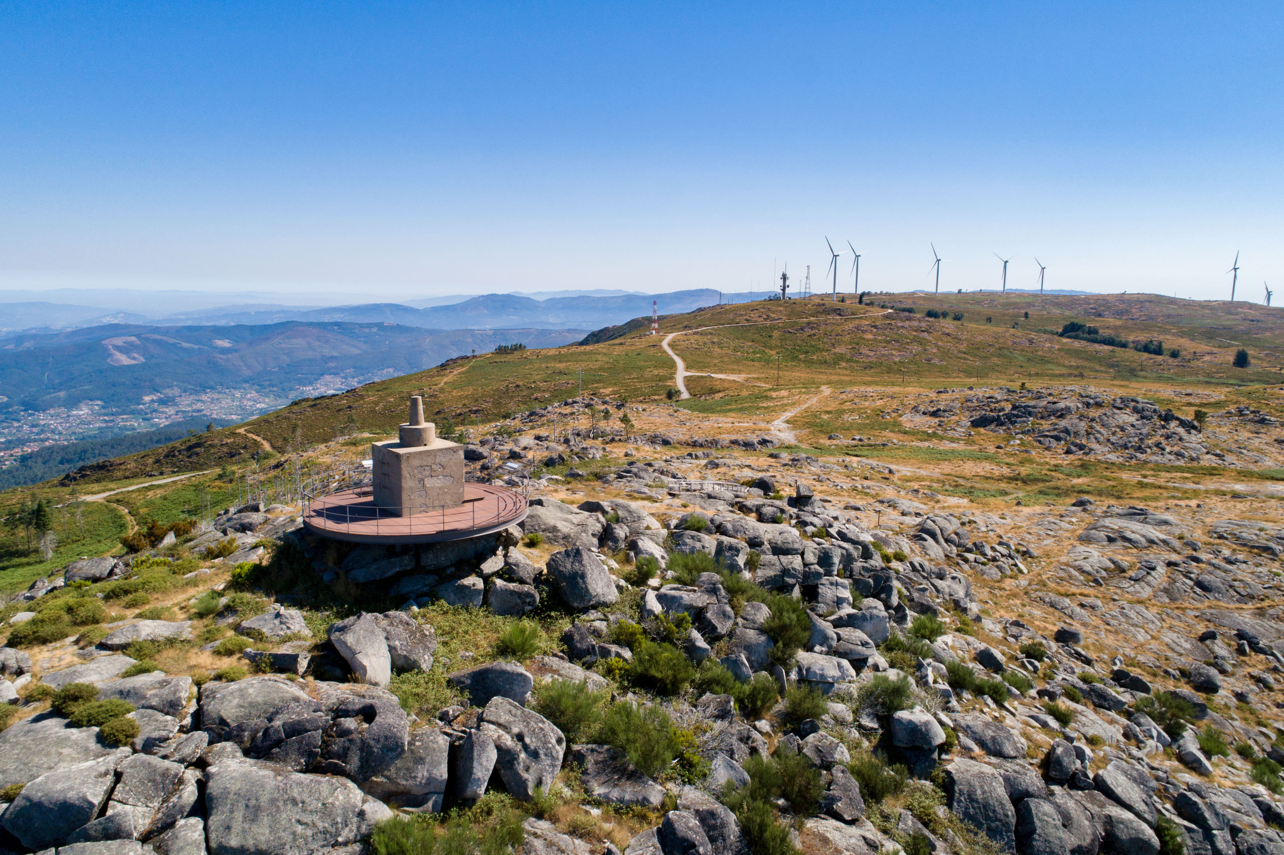
The Serra da Freita plateau is home to traditional villages, the Senhora da Laje Sanctuary, the many watercourses that come together to form the Caima River, the Serra da Freita Wind Farm and the various geosites that are part of the “Serra da Freita: A Serra Encantada” itinerary on the Geosites Route, which are clearly identified on the interpretive panels. One of the geotourist walking routes of the UNESCO World Geopark Arouca passes through here. Classified as a Short Route, PR16 is 12 km long, circular and takes you to discover the granite landscape of the Freita plateau. This geosite is also the stage for the “Ultra Trail da Serra da Freita” race.
This geosite is part of the itinerary A: Freita, A Serra Encantada.
Learn more about the Geosites Route .
Geological Information
In S. Pedro Velho, you’ll find a 1st Order geodesic vertex on the National Geodesic Network, dated 1955. According to military cartography, this landmark defines an altitude of 1077 meters, making it one of the highest points in the Serra da Freita, offering a 360º panoramic view of the Freita plateau and the north and central region of mainland Portugal.
This lofty position is due to the fact that we are standing on a rocky dome of Serra da Freita granite, a rock that is very hard and resistant to erosion caused by the external geodynamic agents that act here. Here it is also possible to identify various elements of the granite landscape, from the chaos of blocks, orthogonal fissuring, sinkholes and other geoforms.
The hydrographic network observed in the Serra da Freita plateau region, which includes the Caima River, is part of the Vouga Hydrographic Basin.
Interests
Use
Relevance
Coordinates S. Pedro Velho
Photos and Videos Gallery
S. Pedro Velho
S. Pedro Velho
S. Pedro Velho
S. Pedro Velho
S. Pedro Velho