Route C: Paiva: the amazing valley
Rota dos Geossítios
This route has the Paiva river as background that contemplates its visitors with amazing discoveries. Actually, the Paiva river plays an important role in the construction of the Arouca Geopark landscape, contributing for its change through erosive processes, as well as processes of transportation and deposition of sediments in its river basin. Along these water courses, there were many villages with relative historic, economic and cultural relevance. There are numerous stories and legends that were often passed through generations, and that constitute a strong cultural identity element of the inhabitants of this region. This route is defined in the northeast region of the Arouca Geopark and extends throughout 27 km, approximate, of which 11 have to be done by foot. It includes a visit to 12 geosites.
G25: Geological Interpretative Center of Canelas
G26: Evidences of the late Ordovician glaciation
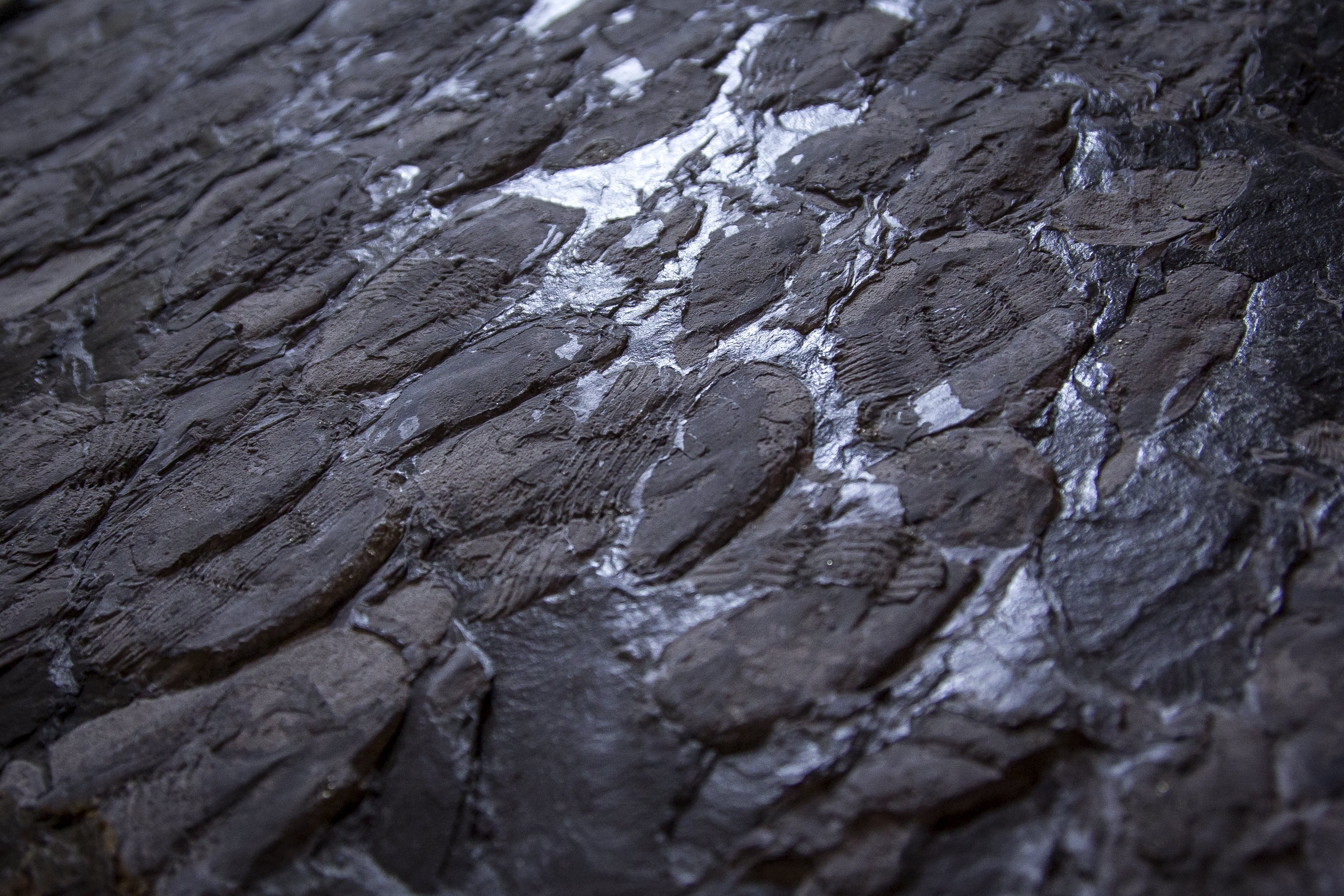
G27: Lowermost Silurian graptolites
G28: Carbonic conglomerate
G29: Gralheira d’Água quartzite ridge
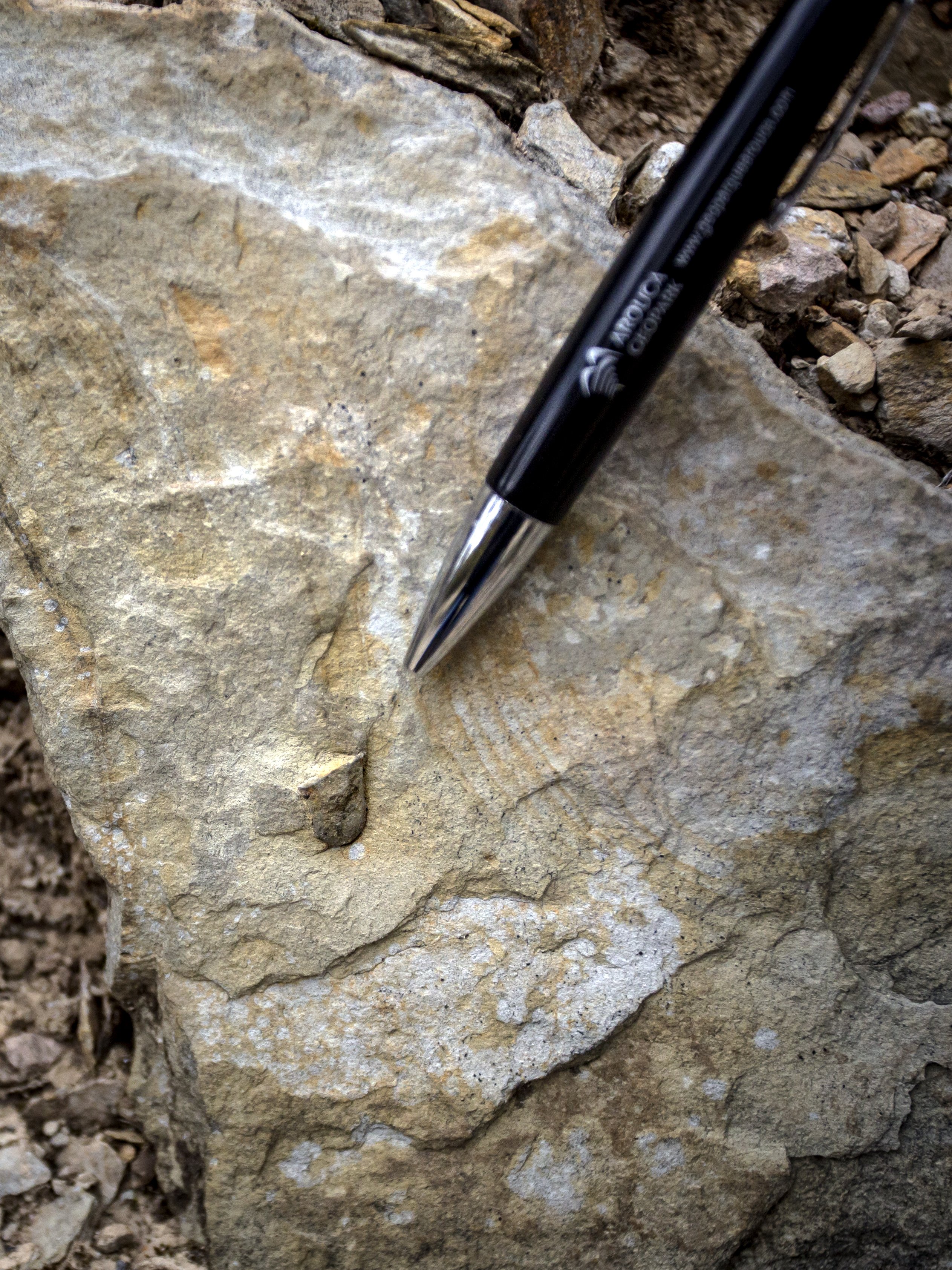
G37: Ichnofossils of Cabanas Longas
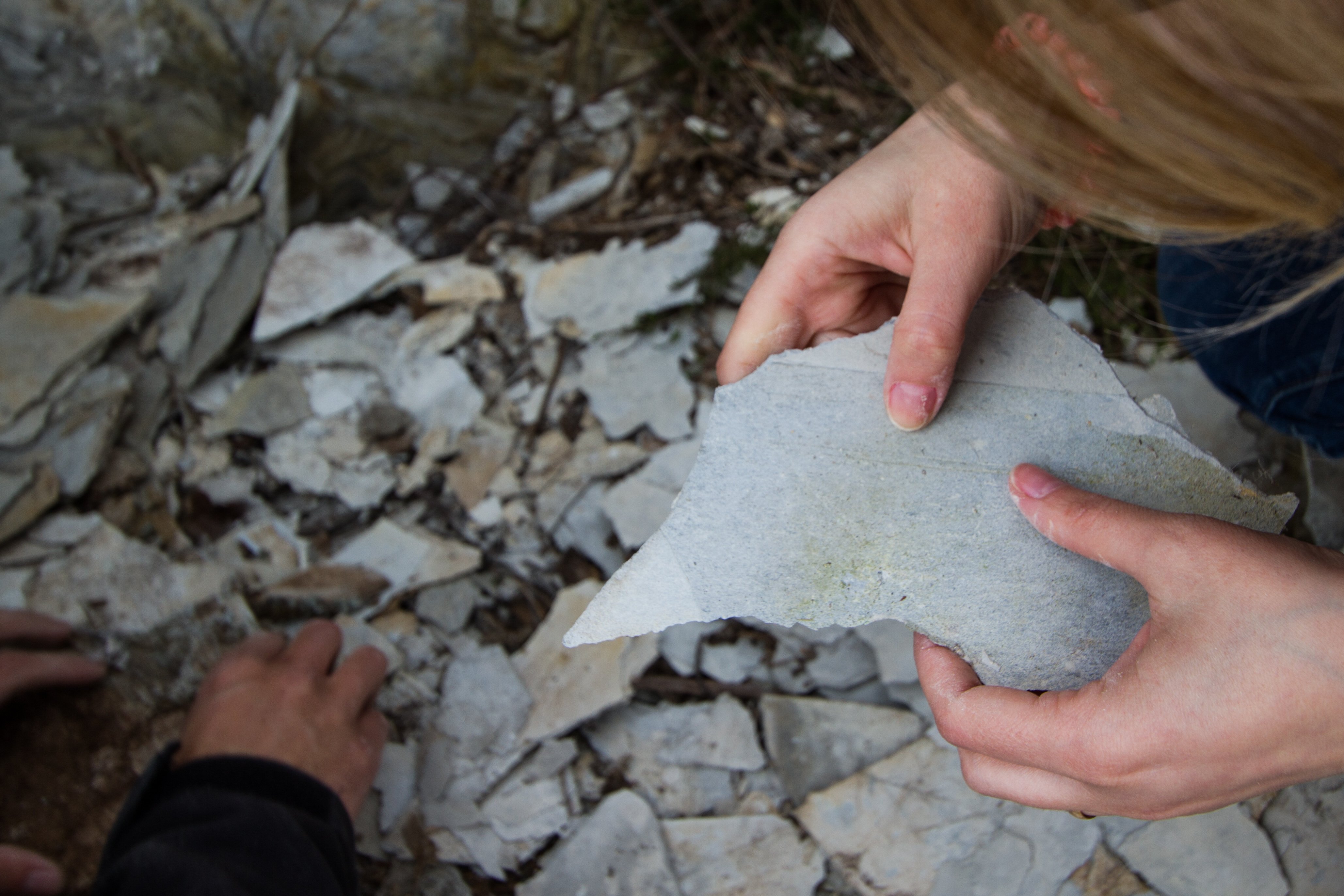
G38: Mira Paiva site
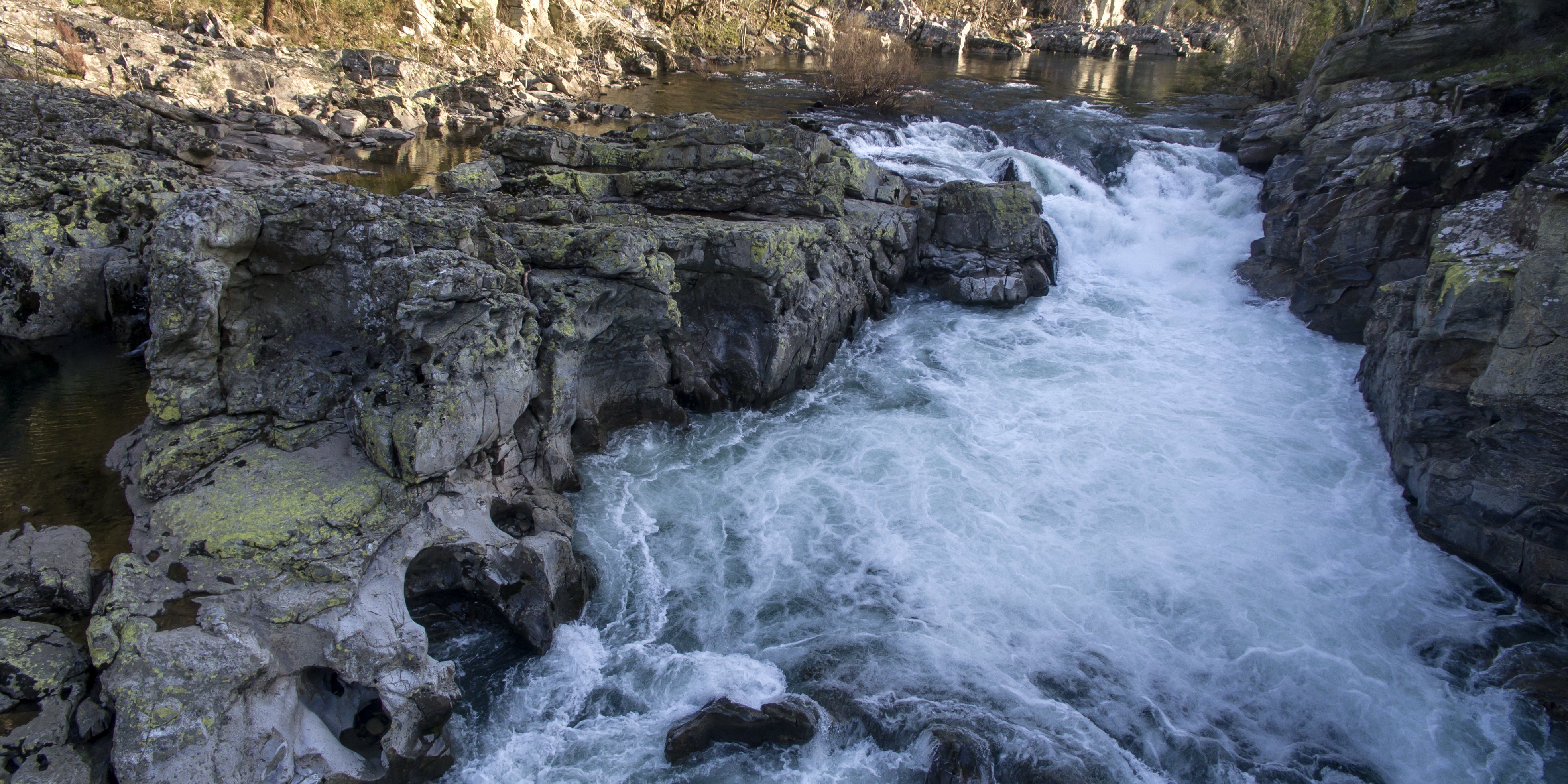
G36: Garganta do Paiva
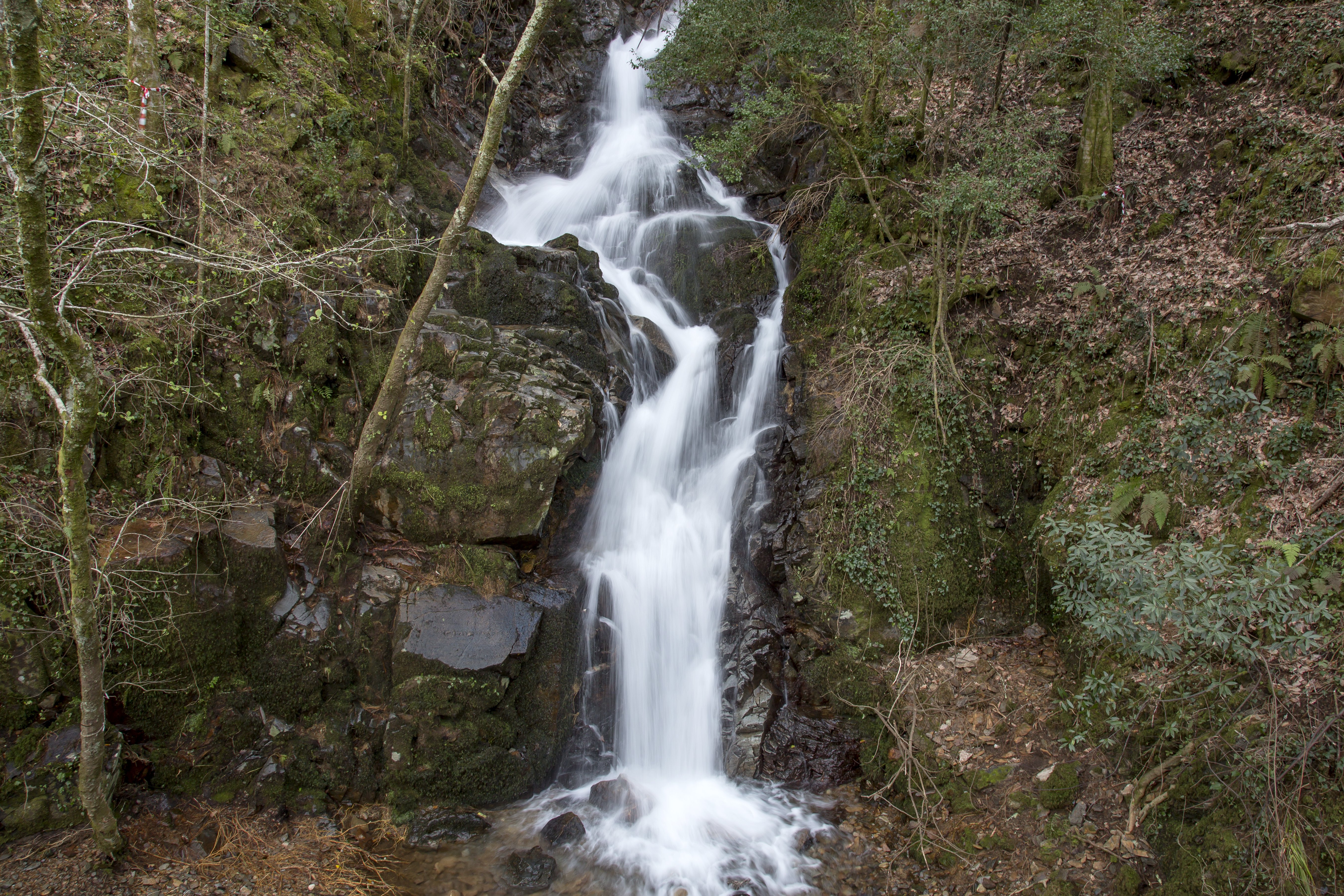
G35: Aguieiras waterfall
G30: Vau site
G31: Gola do Salto site
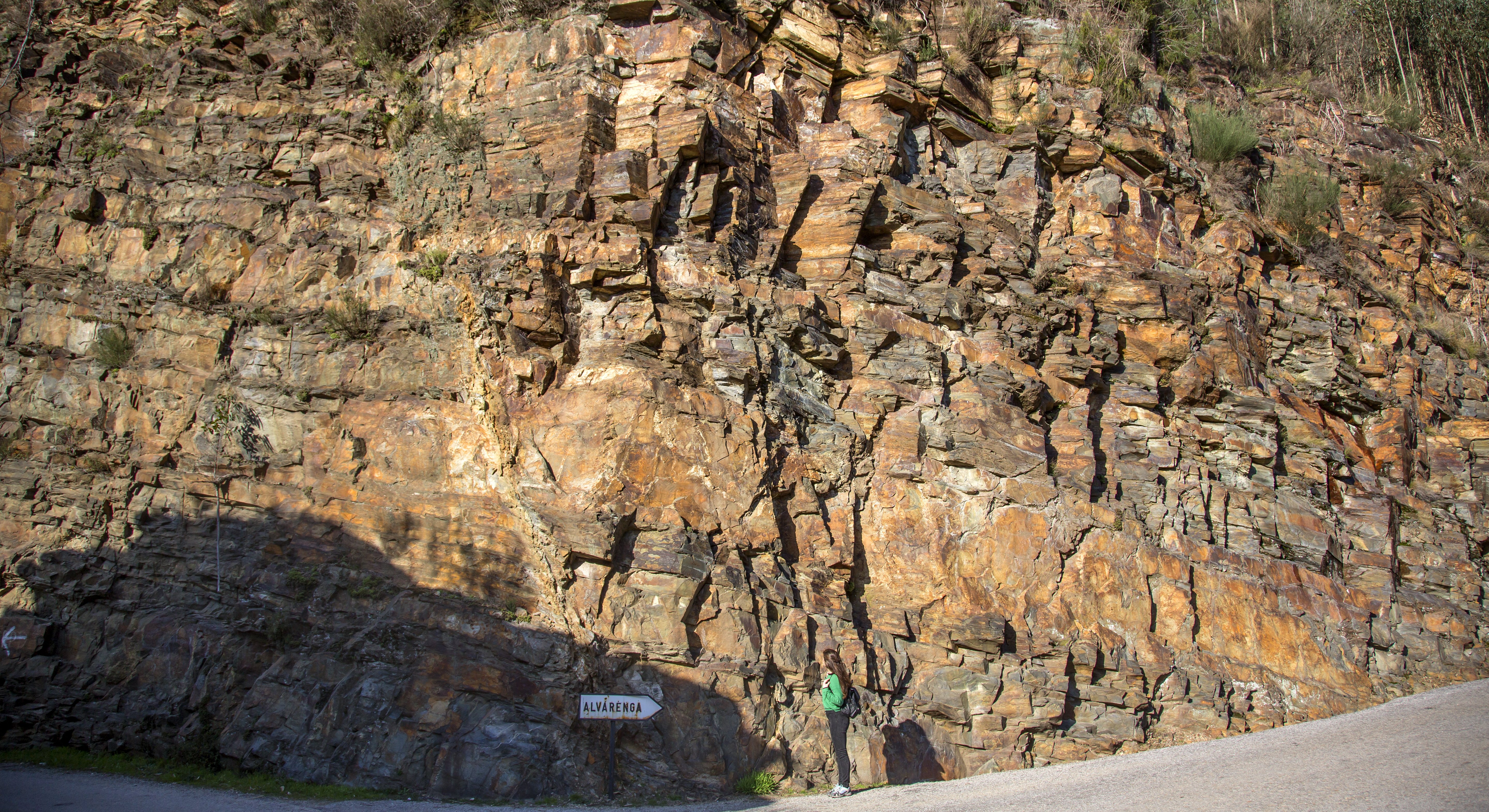
G32: Espiunca Fault
 Route characteristics
- Starting point:Fossil Collection of Geological Interpretative Center of Canelas
- End point:G32: Falha da Espiunca (Espiunca Fault)
- Distance:18.00 km
- Maximum altitude:530 m